
LiDAR scanning buildings is a way to capture the shape of a space using laser-based measurements. In simple terms, a scanner sends out pulses, records how they return, and builds a dense digital map of walls, doors, windows, ceilings, floors, and other visible surfaces. For property owners, architects, contractors, and real estate teams, that makes LiDAR useful when you need a reliable record of existing conditions.
At the same time, a building scan is only part of the process. Most projects do not end with raw scan data. They end with usable deliverables such as a LiDAR floor plan, elevations, sections, and permit-ready CAD files. That distinction matters in California, where remodels, tenant improvements, ADUs, and documentation for older buildings often depend on accurate as-builts. FastAsBuilt measures buildings across California and turns field data into clear 2D and 3D drawing packages that teams can actually use.
What LiDAR scanning for buildings means
LiDAR stands for light detection and ranging. In building work, it refers to using a laser-based device to record distances to surrounding surfaces. As the scanner captures points across a room or structure, software assembles those measurements into a three-dimensional representation of the site.
For an owner or project manager, the practical meaning is straightforward: LiDAR helps document what already exists. That can include room sizes, wall locations, ceiling heights, window and door openings, stair geometry, and other visible conditions. Instead of relying only on old plans, rough hand measurements, or memory, your team starts from a measured digital record.
LiDAR scanning buildings is often discussed alongside other capture methods, but the goal is the same: reduce guesswork. If you want a broader look at the full as-built process, see what as-built drawings are and how they support design and construction decisions.
How a building scan actually works
A building scan starts on site. The technician moves through the property and captures the space from multiple positions so the scanner can “see” each area from enough angles. Every setup records many points on visible surfaces, and those points are combined into one coordinated dataset.
In practice, good fieldwork matters as much as the hardware. Rooms need to be covered methodically. Circulation paths, stair connections, exterior transitions, and changes in ceiling height all need attention. If the purpose is drawing production rather than just visualization, the field crew also needs to think ahead about the features the drafting team will need to interpret later.
- Laser pulses measure distance to visible surfaces.
- Multiple scan positions reduce blind spots and improve coverage.
- Individual captures are aligned into a single digital model of the site.
- Drafters or modelers then interpret that data into plans, elevations, sections, or a 3D model.
That last step is often overlooked. A scan does not automatically become a permit-ready drawing set. The captured data still needs review, drafting judgment, layer organization, and output in formats your architect, engineer, or city reviewer can use. FastAsBuilt’s workflow combines on-site laser measurement with senior drafting so clients receive PDF and DWG files, not just raw data.

What LiDAR captures well—and what it does not
LiDAR is strong at recording visible geometry. It can capture the shape and location of walls, floors, ceilings, openings, and many fixed elements with excellent spatial consistency. That makes it especially helpful in buildings with irregular layouts, sloped ceilings, older additions, or areas where tape-only methods would be slow and prone to missed dimensions.
However, LiDAR has limits. It records what the scanner can see, not everything hidden inside a building. A scan usually will not tell you what is inside a wall, where concealed framing runs, or how systems are routed behind finished surfaces. If furniture, stored items, or access restrictions block parts of the building, those conditions can also affect what is visible during capture.
This is why experienced interpretation matters. A LiDAR floor plan is not simply a screenshot from a scan. It is a measured drawing created from field data and drafting review. If you are comparing methods, laser scanning versus tape measuring for as-builts explains why many teams prefer a more complete digital capture for complex spaces.
Need accurate as-built plans?
FastAsBuilt sends a local crew to laser-measure your property and delivers permit-ready 2D or 3D drawings, starting at $900.
See 2D & 3D pricingWhere LiDAR fits in the as-built drawing process
LiDAR belongs at the front end of existing-conditions documentation. It is a capture method, not the final product. The scan gives the project team a strong base, and then drafters convert that information into drawings that match the project scope.
For many California projects, the useful output is one of the following:
- 2D floor plans for planning, design, leasing, and basic permit coordination
- Elevations and sections when vertical relationships matter
- 3D models for more involved remodels, tenant improvements, or coordination
- Combined drawing packages that support architects, contractors, and consultants
At FastAsBuilt, 2D As-Built Plans start at $900 for up to 1,500 square feet, then $0.50 per square foot. They include one revision and typically deliver in 48–72 hours. 3D As-Built Plans start at $1,500, then $1.00 per square foot, and include a 3D model plus 2D floor plans, elevations, and sections, with two revisions and typical delivery in 3–5 business days. Custom commercial and specialized projects are quoted individually.
Turnaround times are estimates and may vary based on project complexity and scheduling.
If you are trying to understand the drafting side better, how as-built drawings are made is a helpful next read.
When LiDAR scanning buildings makes the most sense
Not every property needs the same level of documentation. LiDAR is often the right fit when the building is large, detailed, irregular, or likely to change hands between several consultants. It is also useful when the cost of missing information is high, such as before design work begins or before a contractor prices a remodel.
Common situations where LiDAR helps
- Older homes with additions or undocumented changes
- Commercial suites with complex layouts or ceiling conditions
- ADU and SB9 planning where existing site or structure documentation matters
- Tenant improvements that need dependable existing-condition plans
- Buildings where multiple stakeholders need the same base information
In California, many owners discover that the original plans on hand are outdated, incomplete, or simply unavailable. In those cases, a fresh building scan can save time later by reducing redesign, clarifications, and field surprises. If your main goal is permitting, as-built drawings for building permit explains how existing-condition documents are commonly used in permit workflows.
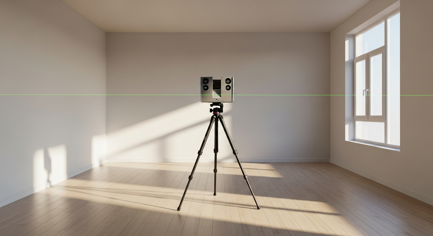
LiDAR floor plans vs. raw scan data
One of the biggest points of confusion is the difference between data capture and drawing output. A scan can produce a point cloud or other digital record of the building, but most owners are not buying a scan just to have a scan. They need a drawing package that communicates dimensions and layout clearly.
A LiDAR floor plan is the interpreted result of that capture. It takes the geometry from the field and organizes it into a readable plan view. Depending on the project, that may include room outlines, door swings, windows, fixture locations, stairs, and key dimensions. For more advanced scopes, the same source data can also support elevations, sections, and a 3D model.
This distinction is important when comparing services. Some providers focus on scanning only. Others focus on drafting only and depend on outside field data. FastAsBuilt combines field measurement and drafting into one process, so you have one team responsible from site visit through final CAD delivery.
If you are choosing between different capture tools, you may also want to compare LiDAR with image-based options. Laser scanning vs. photogrammetry covers that difference in plain English.
LiDAR for residential and commercial projects in California
California buildings create a wide range of documentation needs. In residential work, owners often need measured plans before a remodel, after buying a house, or while evaluating whether an ADU can fit an existing lot or structure. In commercial settings, property managers, brokers, and contractors may need current plans for leasing, planning, or build-out decisions.
LiDAR scanning buildings can support both types of work, but the deliverable should match the next decision you need to make. A homeowner planning a kitchen and bath remodel may only need 2D plans. A tenant improvement with coordination challenges may benefit from a 3D package with elevations and sections. A larger site or specialized commercial scope may call for a custom quote.
FastAsBuilt serves Southern California, including Los Angeles, Orange County, and the Inland Empire, as well as the Bay Area and San Diego. Local crews perform on-site laser measurement, and senior drafters produce permit-ready CAD files in PDF and DWG formats. If you already know your project scope, you can review options and place an order at /order.
What to ask before hiring a building scan provider
Because “LiDAR” can describe several different workflows, it helps to ask direct questions before you book a service. The key issue is not just whether a provider uses laser technology. It is whether the final deliverable will be suitable for your architect, contractor, or permit set.
- Will you receive 2D plans, a 3D model, or only raw scan data?
- Are final files delivered as PDF and DWG?
- Who interprets the field data into drawings?
- How many revisions are included?
- What is the typical turnaround time?
- Does the provider handle residential, commercial, or both?
- Is the scope priced as a standard package or custom quote?
These questions help you compare like for like. A low scan-only price may not include the drafting work you actually need. On the other hand, a complete as-built package can move your project forward faster because your team can start from finished plans instead of raw files.

Frequently asked questions
Is LiDAR the same as as-built drawings?
No. LiDAR is a capture method, while as-built drawings are the finished documents created from measured field information. A building scan can be a strong starting point, but most projects still need drafting and quality review before the result becomes a usable floor plan, elevation, section, or CAD file.
Can LiDAR create a permit-ready floor plan by itself?
Not by itself. The scan data needs to be interpreted and drafted into a clear drawing set. For permit-related work, teams usually need organized plans in standard file formats, along with the right level of detail for the project scope. That is why scan capture and professional drafting are typically paired together.
Is LiDAR scanning buildings worth it for a small house?
It can be, depending on the house and your goals. If the layout is simple and you only need a basic existing floor plan, a straightforward measured plan may be enough. If the house has additions, unusual geometry, sloped ceilings, or you want more robust documentation for design, LiDAR-based capture can provide a better foundation.
What does FastAsBuilt deliver after measuring a building?
FastAsBuilt provides measured as-built drawings and floor plans. For 2D As-Built Plans, we deliver permit-ready CAD files in PDF and DWG, with one revision, and typical delivery in 48–72 hours. For 3D As-Built Plans, we deliver a 3D model plus 2D floor plans, elevations, and sections, with PDF and DWG outputs, two revisions, and typical delivery in 3–5 business days. Custom projects are quoted individually.
Turnaround times are estimates and may vary based on project complexity and scheduling.
Start with accurate as-builts
Order field-measured 2D or 3D as-built drawings and let a local crew handle the measuring and drafting.
Get instant pricingBottom line
LiDAR scanning buildings is a powerful way to capture existing conditions, but the real value comes when that field data becomes accurate, usable as-built drawings. If you need dependable floor plans or a full 3D as-built package in California, FastAsBuilt combines on-site laser measurement with senior drafting to deliver files your team can put to work right away.