
If you are comparing laser scanning vs photogrammetry, you are really comparing two different ways to capture existing conditions. Both are part of reality capture, and both can help turn a real building or site into useful digital information. The difference is in how the data is collected, how dependable the measurements are, and what kind of project the final output needs to support.
For California owners, architects, contractors, and real estate teams, that distinction matters. A glossy 3D view may be enough for marketing or planning, while permit, renovation, and construction work usually needs dependable field measurements and clean CAD drawings. Understanding what each method does well can save time, reduce rework, and help you choose the right path for your building.
What laser scanning and photogrammetry actually are
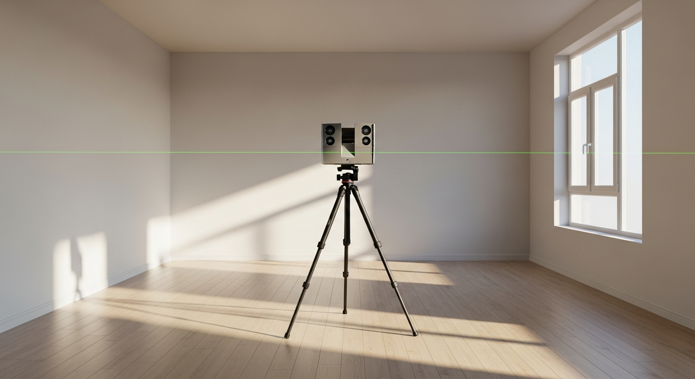
Laser scanning uses a device that sends out laser pulses and records the surfaces those pulses hit. The result is a dense point cloud that represents walls, ceilings, floors, doors, windows, structure, and other visible building features. That point cloud can then be used to create floor plans, elevations, sections, and 3D models.
Photogrammetry uses overlapping photographs to reconstruct geometry. Software finds matching points across many images and estimates the shape and position of surfaces in 3D space. In simple terms, photogrammetry turns a large set of photos into a measurable digital model.
Both are reality-capture methods, but they are not interchangeable in every situation. Laser scanning is measurement-first. Photogrammetry is image-first. That distinction affects reliability, workflow, and how much confidence you can place in the resulting dimensions.

How each method captures building data
Laser scanning records distance directly. The scanner is set up at multiple positions throughout a building, and each scan captures nearby surfaces. Those scans are then registered together to form one coordinated dataset. Because the device is measuring distance to physical surfaces, laser scanning is often chosen where geometry needs to be dependable and detailed.
Photogrammetry records images first, then calculates geometry from those images. To work well, it needs strong lighting, enough texture on surfaces, and substantial overlap between photos. Blank walls, reflective finishes, glass, and repetitive surfaces can make reconstruction harder. It can still be very useful, but the quality of the model depends heavily on how the photos were taken and what the subject looks like.
In building work, that means laser scanning usually performs better in interiors with complicated geometry, while photogrammetry can be attractive when visual context matters or when a lightweight model is acceptable.
In practice, the field process often looks like this
- Laser scanning: multiple scan positions, controlled setup, coordinated point cloud, drafting from measured data.
- Photogrammetry: many overlapping photos, software processing, 3D reconstruction, then interpretation into drawings if needed.
- Hybrid workflow: some teams combine photos with measured data so the model is both visual and dependable.
If you want a broader picture of measured documentation, this overview of how as-built drawings are made explains how field data turns into usable plans.
Accuracy: where the biggest difference shows up
The most important part of laser scanning vs photogrammetry for many building projects is accuracy. Laser scanning is generally preferred when dimensions need to support design, permit preparation, or construction decisions. Because it measures surfaces directly, it tends to provide a stronger basis for producing reliable as-built documentation.
Photogrammetry can produce useful geometry, but its accuracy can vary more from one project to another. Camera quality, lens distortion, lighting, image overlap, scene texture, and processing settings all affect the result. If someone needs precise dimensions from the model later, the limitations may not be obvious until drafting has already started.
That does not mean photogrammetry is “bad.” It means the method should match the purpose. For early concept work, visualization, façade context, or rough volumetric understanding, photogrammetry may be enough. For permit-ready measured drawings, dependable field measurement is usually the safer choice.
FastAsBuilt’s workflow is based on on-site laser measurement followed by drafting from senior drafters into permit-ready CAD files. If you are weighing methods for an existing building, it helps to understand how accurate 3D laser scanning is for as-builts and how that accuracy supports downstream design work.
Need accurate as-built plans?
FastAsBuilt sends a local crew to laser-measure your property and delivers permit-ready 2D or 3D drawings, starting at $900.
See 2D & 3D pricingSpeed in the field versus speed to usable deliverables
People often assume the fastest capture method is automatically the best choice. In reality, there are two different timelines to consider: time on site and time to usable deliverables.
Photogrammetry can be quick to collect in some situations. Taking photos may feel simple and lightweight, especially on open exteriors or when a team already has a drone or camera workflow. But speed in the field does not always mean speed to finished plans. Image sets still need processing, cleanup, interpretation, and sometimes additional site verification if the reconstructed geometry is unclear.
Laser scanning can require a more structured site visit, but it often reduces guesswork later. When the goal is accurate floor plans, elevations, and sections, better source data usually means fewer questions during drafting. That can lead to a smoother path to final deliverables.
For California projects that need documented existing conditions quickly, FastAsBuilt provides 2D As-Built Plans starting at $900 for up to 1,500 square feet, then $0.50 per square foot, with one revision and typical 48–72 hour delivery. 3D As-Built Plans start at $1,500, then $1.00 per square foot, and include a 3D model plus 2D floor plans, elevations, and sections, with two revisions and typical 3–5 business day delivery.
Turnaround times are estimates and may vary based on project complexity and scheduling.
Deliverables: images and models are not the same as permit-ready plans
One of the biggest misunderstandings around reality capture is assuming that a scan or a photo model is the final product. Usually, it is not. Most building teams do not just need “captured data.” They need clear drawings they can design from, coordinate with, and submit when required.
Laser scanning and photogrammetry can both produce visual outputs, but those outputs vary a lot in usefulness. A point cloud, textured mesh, or 3D viewer may help you look around a building, yet still fall short of what an architect or contractor needs for a remodel or tenant improvement.
What many California clients actually need includes:
- Measured floor plans with room dimensions and wall layouts
- Exterior elevations for design and review
- Sections to understand heights and relationships
- CAD files in PDF and DWG for ongoing work
- A drafting package that can support permit or construction planning
That is why the capture method and the drafting process should be considered together. A reality-capture method is only as useful as the deliverables it can support. If your end goal is plan documentation, not just a visual model, it helps to review what is included in as-built drawings before choosing a workflow.
Where photogrammetry makes sense
Photogrammetry has real advantages when the project benefits from photographic richness and when measurement tolerance is less strict. It can be a practical option for large exterior areas, irregular surfaces, or situations where a textured 3D model helps communication more than exact dimensioning does.
Common cases where photogrammetry may fit include:
- Exterior context studies
- Roof and façade visualization
- Large site features where a photo-based model is useful
- Historic or decorative surfaces where visual detail matters
- Early planning where approximate geometry is acceptable
Photogrammetry can also be attractive when access is limited and images can be collected more easily than dense interior measurements. Even then, the key question remains the same: what decisions will the model support? If it will guide design or documentation, you may still need measured verification before relying on it fully.
For some clients, photogrammetry is best treated as a supplement rather than a substitute—useful for context, communication, and visualization alongside a more measurement-focused documentation method.

Where laser scanning is usually the better fit
Laser scanning is often the stronger choice when your project depends on dependable geometry. That is especially true in renovation, adaptive reuse, tenant improvements, ADUs, additions, and older buildings where the existing conditions are not perfectly square or consistent.
In California, many projects start with incomplete records or outdated plans. Existing buildings may have undocumented changes, uneven walls, soffits, mechanical conflicts, or structural conditions that do not show up in old files. Laser-based field measurement helps reveal what is actually there so the drafting reflects the building as it exists now.
Laser scanning is commonly preferred for:
- Permit preparation and design documentation
- Interior remodels and reconfigurations
- Commercial tenant improvements
- ADUs and SB9-related planning
- Buildings with complex geometry or multiple floor levels
- Projects where elevations and sections matter, not just floor plans
FastAsBuilt serves Southern California, the Bay Area, and San Diego with local crews who perform on-site laser measurement, then senior drafters produce permit-ready CAD files in PDF and DWG. If you already know you need measured plans, you can place an order online or request a quote for a custom project.
How to choose the right reality-capture method for your project
The right choice depends less on technology buzzwords and more on scope, risk, and deliverables. Start by asking what the information will be used for after capture. If the answer is design, permitting, coordination, or construction, the data needs to stand up to real decisions.
Ask these questions before choosing
- Do you need precise dimensions or mainly a visual model?
- Is the project interior, exterior, or both?
- Will the final output be CAD drawings, a 3D model, or just images?
- Does the building have complex geometry, poor records, or past alterations?
- Will architects, engineers, or plan reviewers rely on the result?
- Is a permit likely to require clean as-built documentation?
If you need dependable floor plans for an existing home or small building, the answer is often straightforward: measured documentation first, then drafting. This guide on how to get floor plans of an existing house is a good next step if you are trying to turn an existing property into usable drawings.
For some projects, a hybrid approach works well. Photos can provide visual reference, while laser measurement anchors the geometry. That gives the drafting team both context and dependable dimensions.
Frequently asked questions
Is photogrammetry accurate enough for as-built drawings?
Sometimes, but it depends heavily on the project and the capture conditions. Photogrammetry can be useful for approximate geometry and visual modeling, but for as-built drawings that support permit or construction work, direct field measurement is usually the more dependable basis.
Is laser scanning always required for measured floor plans?
No. The goal is not to force one tool onto every project. The real requirement is accurate field measurement and clear drafting. FastAsBuilt uses on-site laser measurement because it supports reliable existing-condition documentation and efficient production of permit-ready CAD files.
What is better for interior spaces with lots of walls and ceiling changes?
Laser scanning is typically better suited to complicated interiors. Rooms, corridors, varying ceiling heights, soffits, and built-ins are easier to document when the geometry is captured directly rather than reconstructed from photos.
Can reality capture replace drafting?
No. Reality capture collects source data, but most projects still need experienced drafting to turn that data into usable plans, elevations, sections, and coordinated CAD files. The capture method matters, but so does the quality of the final documentation package.
Start with accurate as-builts
Order field-measured 2D or 3D as-built drawings and let a local crew handle the measuring and drafting.
Get instant pricingBottom line
When comparing laser scanning vs photogrammetry, the simplest answer is that laser scanning is usually the better fit for dependable measured building documentation, while photogrammetry is often better for visual context and lighter 3D reconstruction. If your California project needs accurate existing conditions and permit-ready CAD drawings, choosing a measurement-first workflow is usually the safer decision.