
SLAM scanning building workflows are becoming more common because they let a technician move through a site and capture geometry without setting up at every single station. In plain terms, SLAM stands for simultaneous localization and mapping. The scanner figures out where it is while it maps the space around it, then software ties that movement and geometry together into a usable dataset.
For owners, architects, contractors, and facilities teams, the appeal is speed. A mobile SLAM setup can cover a large interior, warehouse, campus area, or existing building more quickly than many traditional methods. But speed is only part of the story. If you need permit-ready drawings, renovation planning, or dependable existing-condition records, it helps to understand what SLAM scanning does well, where it has limits, and how it compares with other forms of reality capture in construction.
What SLAM scanning means in a building context
In a building environment, SLAM scanning refers to a mobile capture process where a person walks through the space with a scanner that continuously collects data. The device uses a mix of laser sensing, visual information, inertial measurement, and software-based positioning to estimate its path and map walls, ceilings, floors, doors, structural elements, and other visible features.
Unlike a static terrestrial scanner, which collects data from fixed positions, a SLAM system gathers information while in motion. That makes it especially useful when the goal is to document a lot of area quickly. Depending on the device and workflow, the output may include:
- A point cloud
- Colorized site imagery
- Basic floor plan geometry
- Mesh or model-ready spatial data
- Reference information for as-built drafting
If you are new to point-cloud-based deliverables, it helps to review what a point cloud is in as-built drawings. The key idea is that the scan itself is not usually the final deliverable. Instead, it is the raw capture that experienced drafters, modelers, or design teams use to create floor plans, elevations, sections, and other documentation.
How SLAM scanning works
SLAM scanning building systems rely on a loop: measure the surroundings, estimate motion, compare the new data to the earlier map, then update both the map and the scanner’s position. This happens continuously as the operator moves through the site.
Most systems use some combination of these inputs:
- LiDAR or laser ranging to capture distances to surfaces
- Cameras to detect visual features and improve alignment
- IMU sensors to estimate motion, direction, and orientation
- Software algorithms that detect overlap and correct drift
As the operator walks, the system recognizes repeated geometry and common features, such as corridor edges, room openings, columns, and corners. That overlap helps the software understand whether it is still aligned correctly. Good paths usually include loops, revisits, and enough visual or geometric variation to help the software stay locked in.
This is one reason field technique matters. Even with advanced hardware, the operator’s route, walking speed, line of sight, and coverage strategy can affect the quality of the result. In a simple rectangular warehouse, a careless route may produce more drift than a disciplined looped path. In a heavily partitioned office, missing room interiors can leave holes in the data.
Why people use SLAM scanning for buildings
The main reason is efficiency. On the right project, SLAM can reduce field time and simplify access planning. That can be valuable when the building is occupied, operational, large, or only available for short site windows.
Common use cases include:
- Existing-condition capture before renovation
- Large interior floor plate documentation
- Warehouses and industrial facilities
- Schools, hospitals, and municipal buildings
- Campus circulation and connected indoor-outdoor paths
- Progress documentation and site records
It also supports RFP and pre-design work. If your team needs a faster understanding of spatial layout, ceiling heights, corridor relationships, or rough existing conditions, SLAM-based 3d laser scanning can provide a practical starting point. For a broader overview of methods and deliverables, see this guide to 3d laser scanning for buildings.

SLAM scanning versus terrestrial laser scanning
SLAM is not a replacement for every scanning method. It is one option in a larger toolkit. The biggest comparison is usually between mobile SLAM systems and terrestrial scanners on tripods.
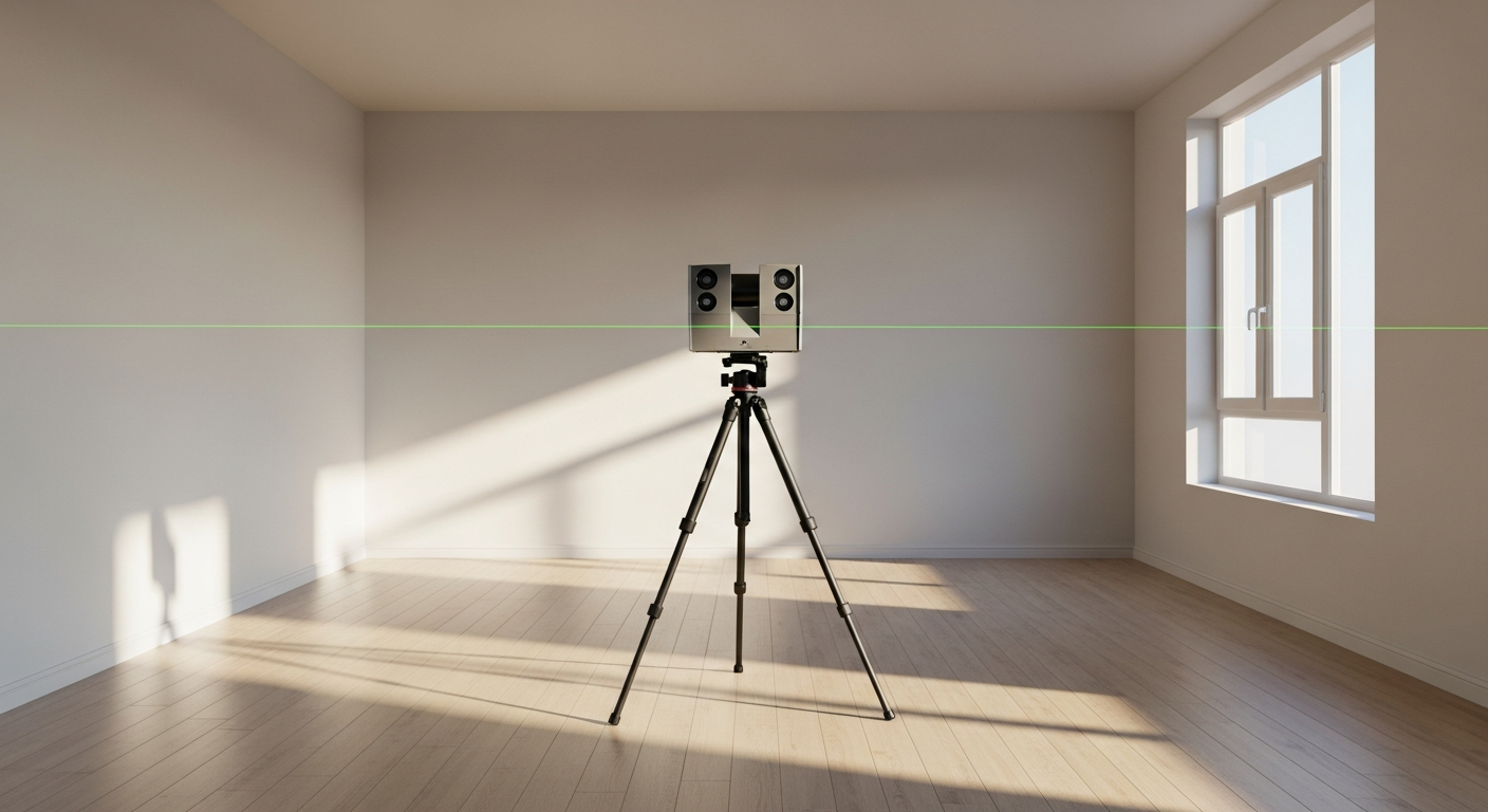
Terrestrial scanning typically emphasizes precision, dense coverage, and controlled station-based capture. Each setup collects a fixed scan, and those scans are registered together later. That process can take longer in the field, but it often produces stronger control for detailed architectural, structural, and permit-related documentation.
SLAM scanning emphasizes mobility and speed. Instead of many stationary setups, you move through the building and let the software solve the route and map together. That often means:
- Faster field collection
- Fewer interruptions to occupants
- Easier capture of long corridors and connected spaces
- Potentially lower detail or more drift in some conditions
- More dependence on operator technique and overlap quality
If you are comparing methods for a real project, terrestrial vs. mobile laser scanning is a useful frame. In practice, many teams use a hybrid approach: mobile capture for broad coverage and static scanning or direct measurement for areas that need tighter control.
Where SLAM scanning performs well
SLAM scanning tends to perform best where the building has enough visible geometry, reasonable circulation, and a project goal that values speed and broad existing-condition capture. It is often a strong fit for:
- Large open interiors with repeated but readable geometry
- Multi-room walkthroughs where a continuous route is possible
- Occupied spaces where fast collection is important
- Properties that need early planning documentation before deeper design
- Facilities that need a digital record for maintenance or asset planning
It can also be useful when a project team needs fast screening before deciding whether a more detailed scan is necessary. For example, a property owner evaluating multiple tenant spaces may use SLAM-based reality capture to understand existing layouts before commissioning more exact permit drawings for the final selected suite.
That said, the best results usually come from an intentional workflow. Walking paths should create loops, include room interiors, and avoid rushed passes through featureless areas. Re-entering the same major spaces from multiple directions often helps the software reduce drift and maintain a more stable map.
Need accurate as-built plans?
FastAsBuilt sends a local crew to laser-measure your property and delivers permit-ready 2D or 3D drawings, starting at $900.
See 2D & 3D pricingWhere SLAM scanning can struggle
SLAM is not ideal in every environment. Because the system is solving for position while moving, it can struggle when there are too few reliable features, too much repetitive geometry, or difficult site conditions.
Common challenge areas include:
- Very long featureless corridors
- Large empty spaces with minimal visual reference
- Mirrors, reflective glass, and shiny metal surfaces
- Dense clutter or heavy temporary obstructions
- Complex vertical circulation if route planning is weak
- Sites where high-precision permit documentation is required in every area
Another issue is drift. Drift means the estimated path slowly moves away from the true position as the scan progresses. Good software and field loops can reduce it, but not all projects tolerate much error. If the building has critical dimensions, tight fit-out constraints, or structural work that depends on strong geometric reliability, a team may need terrestrial control, check measurements, or a different capture method.
California projects often bring practical access constraints too. Occupied apartment buildings, healthcare spaces, active retail, and schools may require phased capture, after-hours access, or careful coordination with operations. In those settings, speed helps, but data quality still has to match the downstream use.
Is SLAM scanning accurate enough for as-builts and permits?
The honest answer is: sometimes, but not automatically. Accuracy depends on the device, the environment, the operator, the route, the amount of overlap, and the level of detail your project actually needs. That is why experienced teams evaluate the intended deliverable before deciding on the capture method.
If your goal is planning-level documentation, facility reference files, or general layout understanding, SLAM may be fully appropriate. If your goal is permit-ready architectural as-builts, tenant improvement drawings, or renovation documents with tight tolerances, the workflow should be reviewed more carefully.
FastAsBuilt’s core deliverable is field-measured as-built drawings and measured floor plans across California. We use on-site laser measurement and senior drafters to produce permit-ready CAD files in PDF and DWG format. For many projects, the important question is not whether a scanner can collect data quickly, but whether the final drawings will reliably support design and permit review. If you are weighing capture options, read whether 3d scanning is accurate enough for permits and how accurate 3d laser scanning is for as-builts.
On California submittals, it is smart to confirm the documentation standard expected by the local jurisdiction and by your architect or engineer. Cities and counties can differ, and some projects require more verification than others.
How SLAM fits into reality capture and as-built workflows
SLAM scanning is one branch of reality capture. Reality capture is the broader process of documenting existing conditions with technologies such as terrestrial laser scanning, mobile scanning, LiDAR, photogrammetry, and image-based systems. The output then supports design, construction, facilities management, or owner decision-making.
In a practical as-built workflow, the steps often look like this:
- Define the purpose of the survey and required deliverables
- Select the right field method for the building and accuracy target
- Capture the site with sufficient coverage and overlap
- Process and register the scan data
- Review the dataset for gaps, drift, and problem areas
- Draft or model the final deliverables from the verified information
- Perform quality control before issue
That final drafting step is where many clients underestimate the work. A point cloud or mobile scan is valuable, but most owners, architects, and contractors still need clear 2D drawings or coordinated 3D models. FastAsBuilt converts field information into usable deliverables. Our 2D As-Built Plans start at $900 for up to 1,500 square feet, then $0.50 per square foot, include one revision, and typically deliver in 48–72 hours. Our 3D As-Built Plans start at $1,500, then $1.00 per square foot, include a 3D model plus 2D floor plans, elevations, and sections, with two revisions and typical delivery in 3–5 business days. If you already know your scope, you can review options on our packages page.
Turnaround times are estimates and may vary based on project complexity and scheduling.
For larger commercial properties, ADUs, SB 9 projects, tenant improvements, and other custom scopes, FastAsBuilt quotes work individually based on the building and deliverables needed.
When California project teams should choose SLAM, choose another method, or combine both
Choosing the right method starts with the project purpose. A good question is not “Which scanner is best?” but “What information must the final drawings or model support?”
SLAM may be a strong choice when:
- You need fast capture over a large connected area
- The site is occupied and field time must be minimized
- The deliverable is planning-oriented or reference-focused
- The building has enough geometry for strong software tracking
Another method may be better when:
- You need very tight control for permit drawings or fabrication-sensitive work
- The site has reflective, repetitive, or feature-poor conditions
- Critical dimensions cannot tolerate noticeable drift
- The project requires detailed capture of specific assemblies or irregular conditions
A hybrid workflow may be best when:
- You want speed in general areas and higher control in critical zones
- A large facility includes a few spaces that need deeper detail
- You need a practical balance between budget, time, and documentation quality
That hybrid approach is common on renovation and tenant improvement work in California, where schedules are tight but drawing quality still matters. For example, a team may use a broad mobile scan for overall circulation and existing layout, then verify key dimensions, utility areas, or complex construction conditions with more controlled methods before drafting permit files.

What to ask in an RFP or consultant interview
If you are writing an RFP or comparing vendors, ask questions that focus on deliverables, not just equipment names. “Do you use SLAM?” is less useful than “How will you produce dependable as-built drawings for this building?”
Useful questions include:
- What capture method do you recommend for this site, and why?
- What final deliverables are included: point cloud, PDF plans, DWG files, 3D model, elevations, sections?
- How do you control drift and verify dimensions?
- What is the expected turnaround?
- How do you handle inaccessible, occupied, or high-traffic spaces?
- Will the final files be suitable for permit and design use?
- How many revisions are included?
For clients across Los Angeles, Orange County, the Inland Empire, the Bay Area, and San Diego, FastAsBuilt focuses on the final outcome: field-measured drawings that your architect, engineer, or contractor can actually use. That is often more important than the particular brand or trend term attached to the field technology.
Frequently asked questions
Is SLAM scanning the same as LiDAR?
No. LiDAR is a sensing method that measures distance with laser light. SLAM is a positioning and mapping process. Some SLAM systems use LiDAR, some combine it with cameras and inertial sensors, and some depend more heavily on visual information. In building work, people often use the terms loosely, but they are not identical.
Can SLAM scanning create permit-ready as-built drawings by itself?
Usually no. The scan data is the capture layer, not the finished drawing set. Permit-ready as-builts generally require drafting, review, and quality control after field collection. Depending on the project, additional verification may also be needed before the final CAD files are issued.
Is SLAM scanning better than terrestrial 3d laser scanning?
Not across the board. SLAM is often faster and easier to deploy in large or occupied spaces. Terrestrial scanning often provides stronger control and consistency for detailed documentation. The better method depends on your building, your schedule, and how precise the final deliverables need to be.
Do you need to be onsite during a SLAM scan?
Not always, but access coordination matters. Some clients meet the field crew at the start and let the work proceed, while others stay onsite for security, operations, or tenant access. If you are planning logistics, see whether you need to be onsite for a 3d scan. The best approach depends on the property and who controls access.
Is SLAM scanning a good fit for every California building project?
No. It can be very effective, but it is not universal. Historic buildings, highly reflective interiors, fabrication-sensitive scopes, or projects headed for permit review may need a different workflow or added verification. California projects also vary by local jurisdiction, so teams should confirm what level of documentation is expected before choosing the capture method.
Start with accurate as-builts
Order field-measured 2D or 3D as-built drawings and let a local crew handle the measuring and drafting.
Get instant pricingBottom line
SLAM scanning building workflows can be an efficient way to capture existing conditions, especially when speed, access, and broad spatial coverage matter. But the right question is not whether SLAM is trendy or fast. The right question is whether the method will produce dependable information for your final use—whether that is planning, renovation, facilities documentation, or permit-ready as-builts. FastAsBuilt helps California clients choose the right field approach and turn site data into clear, usable drawings and models.