
Drone roof measurement has become a practical option for solar layouts, re-roof estimating, and early site documentation. If you need roof dimensions, slope information, ridge and valley geometry, or a fast visual record of existing conditions, drones can reduce ladder time and make difficult roofs easier to inspect. For California property owners, architects, contractors, and consultants, that speed can be valuable—especially when the roof is steep, fragile, obstructed, or expensive to access.
But drone roof measurement is not a one-size-fits-all replacement for field measurement. In practice, roof documentation sits inside a broader reality capture workflow that may include drone imagery, on-site laser measurement, and in some cases 3D laser scanning for as-builts. For solar and re-roof projects, the real question is not whether drones are useful. It is which parts of the job a drone can document well, what still needs boots-on-the-ground verification, and what deliverables your jurisdiction, designer, installer, or permit reviewer will expect.
What drone roof measurement actually captures
At a basic level, drone roof measurement uses aerial photos collected from multiple angles to document roof surfaces and exterior conditions. Software can then turn those images into measurable outputs such as orthomosaic views, roof outlines, approximate dimensions, slope data, and a 3D surface model. On many projects, that is enough to support preliminary planning, proposal generation, material takeoffs, and coordination between trades.
For solar work, the most useful data usually includes:
- Roof planes and usable panel areas
- Ridges, hips, valleys, and major transitions
- Obstructions such as skylights, vents, chimneys, and mechanical units
- General roof pitch and orientation
- Setback planning and edge awareness
- A current visual record of the roof and adjacent site
For re-roof projects, drone roof measurement is often used to understand complexity before crews mobilize. It can help estimate surface area, identify penetrations, flag drainage concerns, and improve conversations about staging and safety. It is especially useful when the roof has multiple levels or limited access from the ground.
That said, aerial data is still different from a direct physical measure. The quality of the result depends on flight planning, image overlap, visibility, roof reflectivity, tree cover, and whether key features are actually visible from above. If the goal is a proposal or feasibility study, drones can be highly effective. If the goal is permit-ready documentation or a coordinated set of existing-condition drawings, the scope usually needs more than drone imagery alone.

Why solar teams are using drones more often
Solar projects benefit from speed. Installers need to assess usable roof area quickly, understand obstructions, and move from lead to layout without repeated site visits. A drone roof measurement workflow helps by capturing a broad view of the building in one pass. It can also reduce the need to walk every roof section during the first visit, which is useful on older tile roofs, fragile membranes, or homes with challenging access.
In California, this is particularly relevant because residential and small commercial solar projects often move across multiple cities with slightly different submittal expectations. A drone can provide a clean and current roof record that helps the design team organize setbacks, equipment locations, and exterior constraints before a detailed plan set is drafted. If you are comparing methods, our overview of using a drone for as-built drawings explains where aerial capture fits and where it does not.
Another reason drone use has expanded is that clients and project managers increasingly want visual proof, not just a sketch. Aerial imagery can make proposal reviews clearer, especially when discussing roof condition, array placement limits, and why certain planes are less efficient or less buildable. That visual context also helps avoid basic misunderstandings before engineering or permitting begins.
Still, solar installations rarely depend on roof geometry alone. Existing electrical conditions, structural assumptions, attic access, and code-driven details matter too. Drone roof measurement can speed up the front end, but it works best when paired with a disciplined measurement process for the rest of the building.
Where drone roof measurement helps on re-roof projects
Re-roof work often begins with uncertainty: how complex is the roof, how many penetrations are there, where are the transitions, and what hidden conditions might affect labor? Drone roof measurement helps answer those questions earlier. Instead of relying only on satellite imagery or a rough ground-based estimate, a contractor can review current roof conditions from useful angles and build a more informed scope.
That is especially valuable when the roof includes:
- Multiple additions from different eras
- Dormers, crickets, and irregular geometry
- Tile, slate, or fragile roofing surfaces
- Steep slopes that increase safety concerns
- Dense landscaping that limits ladder placement
- Accessory structures that must be included in the estimate
For consultants and owners, the benefit is not only measurement. A drone record can support clearer conversations about visible wear, ponding areas, flashing conditions, and rooftop equipment conflicts. On larger sites, it can also help sequence work and identify staging constraints. But if your re-roof project involves structural modifications, tenant improvements, historic review, or permit drawings that must align with existing building plans, a roof-only aerial dataset will not usually be enough by itself.
Need accurate as-built plans?
FastAsBuilt sends a local crew to laser-measure your property and delivers permit-ready 2D or 3D drawings, starting at $900.
See 2D & 3D pricingDrone imagery versus 3D laser scanning versus field measurement
The biggest source of confusion in this area is that different capture methods solve different problems. Drone roof measurement is excellent for documenting what can be seen from above. On-site laser measurement is strong for direct dimensional control. Reality capture in construction is the broader category that brings these methods together, along with photo documentation and model generation.
A simple way to compare them:
- Drone imagery: Best for roof surfaces, exterior context, visual documentation, and hard-to-access areas.
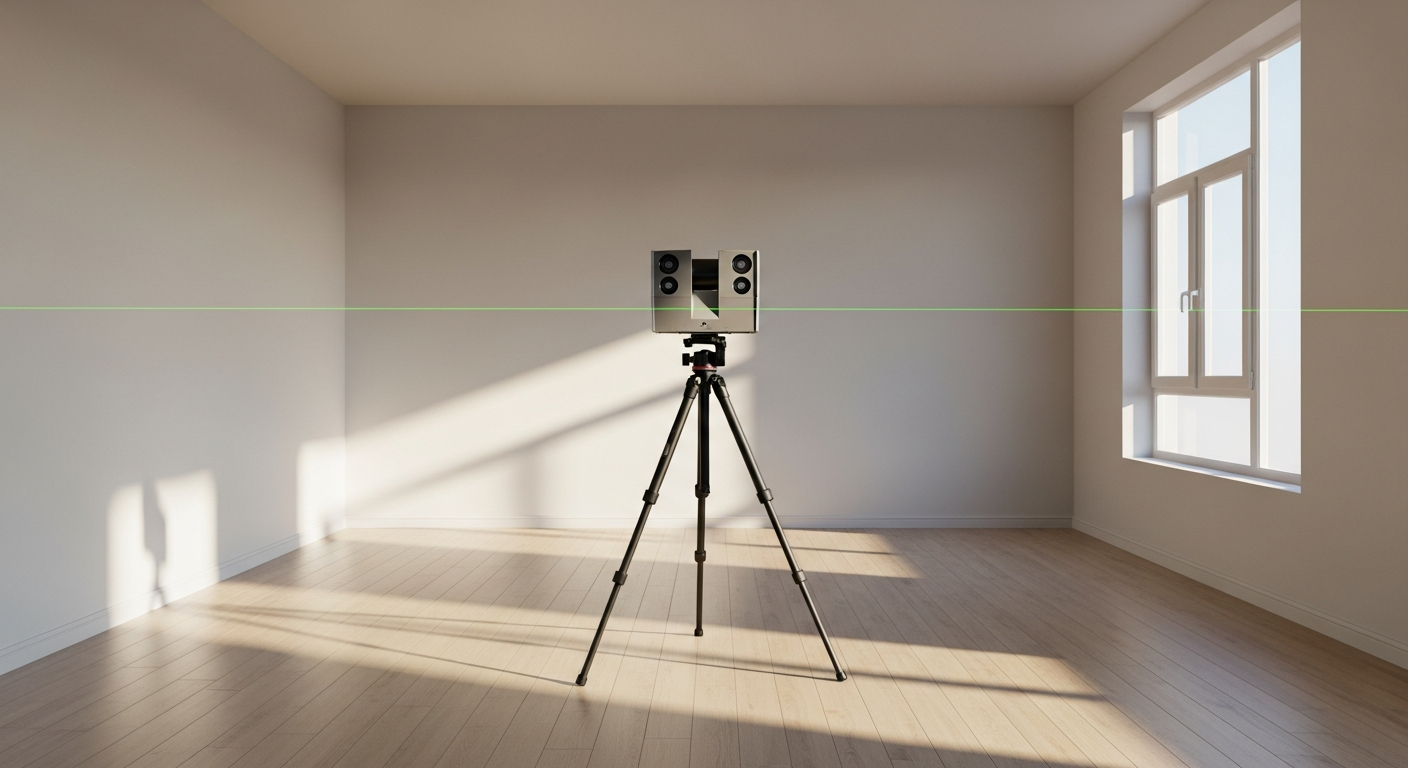
- 3D laser scanning: Best when you need dense measured data, existing-condition coordination, and a highly detailed digital record of geometry.
- Manual field measurement: Best for confirming critical dimensions, hidden conditions, and features that are obstructed, interior, or not reliably captured from imagery.
For many California projects, the right answer is a hybrid workflow. A drone may document roof geometry and exterior conditions, while a field crew verifies key dimensions on site and captures the interior footprint needed for plans. On more complex commercial or multi-structure sites, teams may add terrestrial scanning to create a point cloud and coordinate the roof with parapets, facades, equipment platforms, and adjacent structures. If you want the technical background, FastAsBuilt also explains what a point cloud is in as-built drawings.
This matters because deliverables are not interchangeable. A roof report, a point cloud, a 2D measured plan, and a permit-ready CAD set each serve a different purpose. Before you choose a capture method, decide what you need at the end: proposal support, a design base, material estimating, structural coordination, or permit submission.
Accuracy: what a drone can do well, and where it needs help
A good drone roof measurement workflow can produce useful and repeatable geometry. For many solar and re-roof tasks, that level of accuracy is enough to move a job forward. But technical users should treat drone-derived dimensions as context-sensitive, not universally absolute. Accuracy depends on image quality, control points or reference checks, software processing, and the complexity of the roof itself.
Common accuracy challenges include:
- Occlusions caused by trees, parapets, adjacent walls, and mechanical equipment
- Reflective or low-texture surfaces that process poorly in photogrammetry
- Roof edges hidden by gutters, overhangs, or shadow
- Features beneath canopies or solar arrays
- Interior dimensions that have no visible roof correlation
- Vertical relationships that are hard to infer from top-down imagery alone
That is why experienced teams verify critical dimensions in the field instead of assuming every measured output is permit-ready. If the project will affect structural loading, fire setbacks, drainage paths, or equipment clearances, direct confirmation is worth the time. For a deeper accuracy discussion, see how accurate 3D laser scanning is for as-builts and compare that standard to your project requirements.
In short, drones are strong for visible roof geometry. They are weaker where conditions are hidden, ambiguous, or dependent on interior relationships. The more expensive the mistake, the more important it is to use a hybrid verification process.
Permit and design implications in California
California projects often move from a quick roof measurement need to a more formal drawing need faster than expected. A solar installer may begin with roof capture for preliminary layout, then need a cleaner as-built base for engineering. A re-roof project may start as a replacement scope, then expand into framing repair, added equipment, or an accessory structure review. That shift matters because permit reviewers generally care about the submitted drawings and supporting documentation, not the capture method by itself.
If your jurisdiction requires clear existing dimensions, elevations, sections, or coordinated plan information, drone roof measurement may be only one input. The same applies when work intersects with broader California code issues such as Title 24 energy compliance, SB 9 lot split or duplex contexts, ADUs, tenant improvements, or multifamily property maintenance obligations. Laws and local rules can shape what drawings are needed, but the exact submittal standard varies by city or county. It is always smart to confirm current requirements with the local jurisdiction and your design professional before relying on a roof-only dataset.
FastAsBuilt supports this step with field-measured as-built drawings and measured floor plans across California. Our local crews serve Southern California, the Bay Area, and San Diego. We use on-site laser measurement, then senior drafters produce permit-ready CAD files in PDF and DWG formats. If you need a straightforward existing-condition package after an initial drone review, you can review options on our packages page.
When a drone-only workflow is enough
Not every job needs a full measured building set. In the right circumstances, drone roof measurement can be enough for the immediate task. The key is to match the method to the decision being made.
A drone-only approach may be appropriate when you need:
- Early feasibility review for a solar proposal
- Preliminary roof area and obstruction mapping
- Visual condition documentation before bidding a re-roof
- Exterior coordination on a building that already has reliable base plans
- A current image record for owner review or insurance discussion
It is less appropriate when you need:
- Permit-ready existing-condition plans from scratch
- Interior dimensions, room layouts, or structural relationships
- Detailed coordination with MEP, facade, or interior scope
- Verification of hidden roof framing or concealed drainage paths
- High-confidence dimensions in visually obstructed areas
For technical buyers writing scopes or RFPs, this distinction is important. If the deliverable will eventually become a CAD base for design, spell out whether roof imagery is supplemental or primary, whether field verification is required, and whether the final product must be suitable for permit submission. That avoids the common problem of receiving a visually impressive roof dataset that still cannot answer the project’s most important questions.

How FastAsBuilt approaches roof-related as-builts
FastAsBuilt focuses on the measured drawing side of the problem. When a project needs dependable existing-condition documentation, we send a local field crew for on-site laser measurement and have senior drafters produce permit-ready CAD files. That workflow is designed for clients who need more than a picture of the roof—they need a usable drawing set.
Our services are often a good fit after an initial drone review has already shown that the project is moving forward. For example:
- A solar team needs accurate floor plans and building dimensions to support a more complete design package.
- A re-roof project expands into repairs, alterations, or tenant improvement work.
- An owner needs existing drawings for an ADU, SB 9 project, or broader renovation where roof conditions are only one part of the scope.
- A consultant needs measured plans, elevations, and sections rather than aerial outputs alone.
FastAsBuilt offers 2D As-Built Plans starting at $900 for up to 1,500 square feet, then $0.50 per square foot. That includes one revision and typical 48 to 72 hour delivery. We also offer 3D As-Built Plans starting at $1,500, then $1.00 per square foot. Those include a 3D model plus 2D floor plans, elevations, and sections, with two revisions and typical delivery in 3 to 5 business days. Custom commercial, ADU, SB 9, and tenant improvement projects are quoted individually.
Turnaround times are estimates and may vary based on project complexity and scheduling.
If your project needs a broader scanning strategy, our guide to 3D laser scanning for buildings can help you compare options before defining scope.
How to write a better scope for roof measurement or reality capture
If you are preparing an RFP, consultant brief, or internal scope, the fastest way to improve results is to define the deliverable before you define the technology. A strong scope does not simply ask for drone roof measurement. It explains what decisions the data must support.
Questions to answer in your scope
- Is the goal estimating, design, engineering, permit submission, or owner documentation?
- Do you need roof planes only, or a full building as-built?
- Will the final deliverable be imagery, a report, a point cloud, a CAD plan set, or a model?
- Which dimensions must be field-verified?
- Are there known access limits, tree cover, dense urban constraints, or FAA-related flight concerns?
- Does the jurisdiction require existing elevations, sections, or additional documentation beyond roof geometry?
It also helps to specify file expectations. If downstream teams work in CAD, say so. If you need PDF and DWG, make that explicit. If revisions are part of the process, define how they will be handled. For many owners and contractors, the real cost is not in collecting the data; it is in discovering later that the data cannot be used efficiently.
Finally, remember that “reality capture” is a family of tools, not a single product. Drone imagery, laser measurement, and scan-based workflows can work together. The best scope leaves room for the provider to recommend the right mix based on accuracy needs, access, and the final use of the drawings.
Start with accurate as-builts
Order field-measured 2D or 3D as-built drawings and let a local crew handle the measuring and drafting.
Get instant pricingFrequently asked questions
Is drone roof measurement accurate enough for solar design?
It can be accurate enough for preliminary solar design, roof layout review, and proposal development, especially when roof features are clearly visible. But if the project depends on critical clearances, structural assumptions, or permit-ready existing conditions, field verification is still important.
Can a drone replace 3D laser scanning?
No. A drone and 3D laser scanning solve different problems. Drones are excellent for capturing visible roof and exterior conditions from above. Laser scanning is better for dense measured geometry and full existing-condition documentation. Many projects benefit from using both methods where appropriate.
Do permit reviewers accept drone-based measurements?
Reviewers usually evaluate the submitted drawings and documentation, not the capture tool by itself. Some projects can absolutely use drone-derived information as part of the process, but local requirements vary. Confirm expectations with the city or county and your design team before relying on drone data alone.
What if the roof is obstructed by trees or equipment?
Obstructions are one of the main reasons drone roof measurement needs backup verification. Trees, parapets, rooftop equipment, and shadow can hide edges and transitions. In those conditions, on-site measurement or scan-based documentation can fill the gaps and reduce risk.
When should you order measured as-built drawings instead of roof capture alone?
You should step up to measured as-built drawings when the project needs interior dimensions, coordinated elevations or sections, permit-ready CAD, or a dependable existing-condition base for design. That is common on remodels, ADUs, tenant improvements, and roof projects that expand into broader building work.
Bottom line
Drone roof measurement is a valuable tool for solar and re-roof projects because it captures visible roof geometry quickly and safely. But the most reliable workflow is usually not drone versus measurement—it is drone plus the right level of field verification and drafting for your end use. If you need permit-ready existing-condition drawings anywhere in California, FastAsBuilt can turn on-site measurements into clear PDF and DWG deliverables that fit the next step of your project.