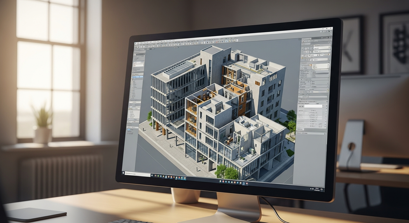
If you are researching a point cloud as-built, you are usually trying to answer a practical question: what exactly is being captured, and how does that information turn into drawings you can actually use? In simple terms, a point cloud is a large collection of measured points in space. Those points represent the surfaces of a real building or room, and together they create a digital record of existing conditions.
That digital record can be extremely useful, but it is not the same thing as a finished as-built drawing. Architects, contractors, owners, and designers typically need readable plans, elevations, and sections in CAD or PDF format. That is where the point cloud to CAD process matters. The scan data provides geometric reference, and experienced drafters turn that reference into organized, permit-ready drawings. If you are new to the topic, it also helps to understand what as-built drawings are before comparing 2D plans, 3D models, and scan-based workflows.
What a point cloud is
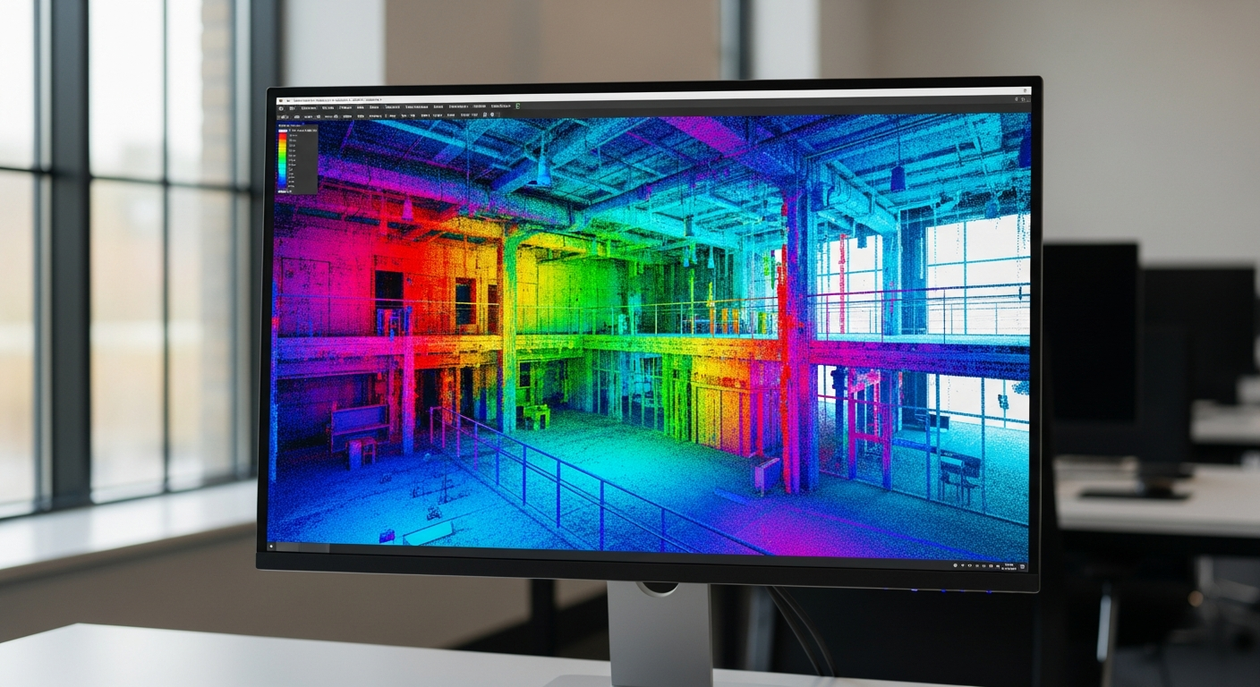
A point cloud is a digital set of measured points that describe the shape and location of physical surfaces. Each point has a position in space, and when millions of points are collected together, they can show walls, floors, ceilings, doors, windows, stairs, structure, and many other visible conditions.
You can think of it as raw spatial data rather than a finished drawing package. A point cloud often looks like a textured ghost image of a building when viewed in specialized software. It may appear detailed, but it still needs interpretation. Openings have to be identified, wall faces have to be traced, floor plan linework has to be cleaned up, and dimensions have to be organized into a form that people can review and build from.
That distinction is important. A point cloud is a source of truth for geometry, but not necessarily a deliverable that a city reviewer, contractor, or homeowner wants to work from directly.
How scan data is collected on site
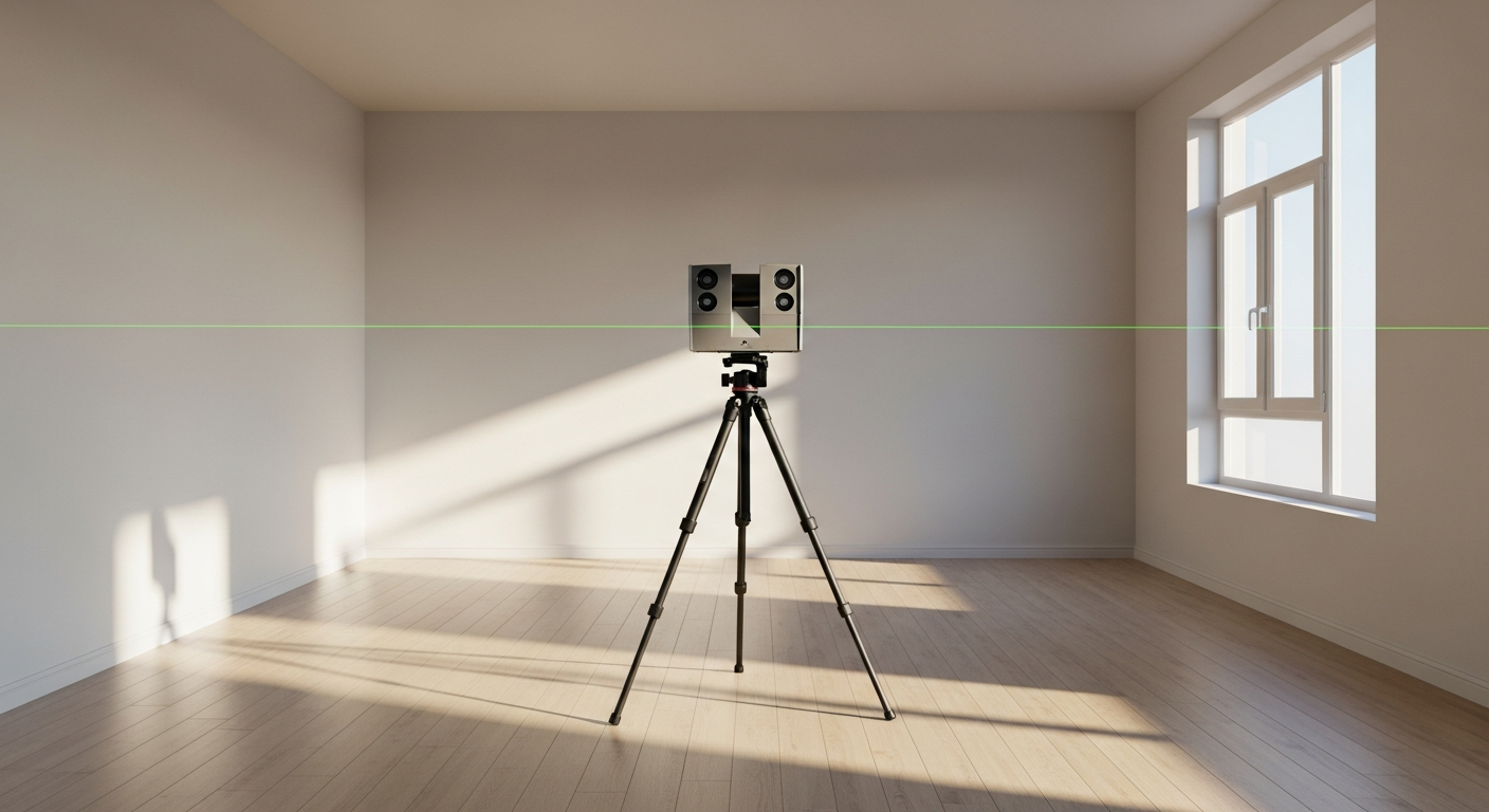
Scan data is gathered in the field by capturing the building as it exists. In many projects, that means using scanning equipment that records dense spatial points from multiple positions throughout the property. The goal is to capture visible surfaces from enough locations that the spaces can be understood clearly when assembled into one digital dataset.
On real projects, field collection still depends on fundamentals:
- Access to all relevant rooms, levels, and exterior areas
- Clear line of sight to key surfaces and corners
- Coverage of stairs, ceiling changes, openings, and built-ins if they matter to the scope
- Careful coordination around furniture, stored items, and occupied spaces
In California homes and commercial spaces, existing conditions are often less tidy than owners expect. Remodels may not match older plans. Garages may have been converted. Exterior walls may step in or out. Ceiling heights can change from room to room. Scan data helps document these realities, but it only captures what is visible and accessible at the time of the site visit.
FastAsBuilt handles existing-condition documentation with on-site laser measurement and then has senior drafters produce permit-ready CAD files in PDF and DWG. If you want a fuller overview of the workflow, see how as-built drawings are made.
What a point cloud does well—and what it does not do
A point cloud is valuable because it captures geometry at a high level of detail. That can be especially helpful on irregular buildings, older structures, tenant improvement spaces, and projects where dimensions need to reflect real field conditions rather than assumptions.
Used well, scan data can help with:
- Documenting complex layouts
- Checking wall locations and room geometry
- Reviewing ceiling slopes, stair profiles, and elevation changes
- Supporting 3D modeling and coordination
- Reducing guesswork on remodels and additions
But scan data also has limits. It does not automatically know which lines belong in a floor plan or how your permit set should be organized. It cannot decide which surfaces define the finished face of wall. It may not reveal hidden framing, concealed utilities, or anything blocked from view. It also does not replace drafting judgment.
That is why many clients are surprised when they learn that the difficult part is not only collecting the point cloud. The difficult part is turning the data into useful drawings with clean linework, readable layers, correct plan cut assumptions, and sensible organization.
Need accurate as-built plans?
FastAsBuilt sends a local crew to laser-measure your property and delivers permit-ready 2D or 3D drawings, starting at $900.
See 2D & 3D pricingPoint cloud to CAD: how raw data becomes usable drawings
The phrase point cloud to CAD refers to the drafting process of converting scan-based geometry into 2D or 3D deliverables. This is where an as-built project becomes practical. Instead of handing over raw scan data alone, the drafter traces, interprets, and structures the captured conditions into files people can use for design, permitting, and coordination.
A typical point cloud to CAD workflow includes:
- Reviewing the scan data and confirming scope
- Aligning and checking the geometry for completeness
- Tracing floor plans from visible wall faces, openings, fixtures, and circulation elements
- Developing elevations and sections where needed
- Cleaning linework, dimensions, layers, and sheet organization
- Exporting deliverables in the requested formats
For many residential projects, the final need is still straightforward 2D documentation. For more involved remodels, additions, commercial interiors, or coordination-heavy design, a 3D model may also make sense. If you are deciding between deliverable types, read 2D vs 3D as-built plans for a practical comparison.
At FastAsBuilt, senior drafters produce permit-ready CAD files after the field measurement phase. Standard deliverables are PDF and DWG, which keeps the output usable for architects, designers, engineers, and contractors.
Why a point cloud is not the same as an as-built plan
It is easy to confuse the two because both deal with existing conditions. Still, a point cloud and an as-built plan serve different purposes.
A point cloud is data. An as-built plan is communication.
Drawings are designed to answer questions quickly: How big is the room? Where is the door swing? How do the walls align? What are the main dimensions? Where do ceiling or floor changes occur? A well-prepared as-built set organizes that information in a way people can review, redline, price, and submit.
This matters because many projects do not need direct access to raw scan data. They need a dependable floor plan set. In other cases, especially with large or complex spaces, the point cloud may be useful as a reference while the final contractual deliverable remains a clean CAD package.
If you are ordering existing-condition documentation for permit work, that distinction is even more important. Cities and plan reviewers generally expect readable plans, not a point cloud viewer file. For more on permit context, see as-built drawings for building permit.
When point cloud as-built workflows make the most sense
Not every project needs a scan-based workflow. For many homes, measured field documentation and careful drafting are enough. But there are situations where point cloud as-built methods are especially attractive.
Complex geometry
Older California properties often include additions, angled walls, split levels, vaulted ceilings, and nonstandard conditions. Dense scan data can help preserve those shapes more clearly than rough sketches or limited dimension strings alone.
Large interiors
Commercial spaces, tenant improvements, and multi-room properties can benefit when a lot of geometry needs to be captured consistently across one dataset.
3D coordination
If the next phase may involve a model-based workflow, a point cloud can provide a strong geometric reference for future modeling. That is one reason scan data often comes up in conversations about BIM and Revit-based deliverables.
Projects with limited existing documentation
When old plans are missing, outdated, or unreliable, current field capture becomes more valuable. Buyers, owners, and design teams often discover that the only dependable starting point is a fresh as-built survey of what is really there today.
Even in these cases, the right question is not just “Do you need a point cloud?” It is “What final deliverable do you need?” If the answer is permit-ready floor plans and elevations, the drafting scope should stay centered on that outcome.
2D plans, 3D models, and file formats
Once you understand what a point cloud is, the next step is deciding what you actually want delivered. Most clients are choosing between 2D and 3D as-built outputs rather than between “scan” and “no scan.”
FastAsBuilt offers:
- 2D As-Built Plans: starting at $900 for up to 1,500 square feet, then $0.50 per square foot; includes 1 revision; typical delivery is 48–72 hours Turnaround times are estimates and may vary based on project complexity and scheduling.
- 3D As-Built Plans: starting at $1,500, then $1.00 per square foot; includes a 3D model plus 2D floor plans, elevations, and sections; includes 2 revisions; typical delivery is 3–5 business days Turnaround times are estimates and may vary based on project complexity and scheduling.
- Custom projects: commercial, ADUs, SB9, and tenant improvements are quoted individually
Those deliverables are produced as permit-ready CAD files in PDF and DWG. If your team is comparing output formats, DWG vs PDF as-built drawings explains why both are commonly requested.
If you already know your scope, you can also go directly to the order page to start the process.
Point clouds, BIM, and Revit: where they fit
Point clouds are often discussed alongside BIM because they can support model creation. That does not mean every point cloud becomes a full building information model, and it does not mean every as-built project needs Revit. In many cases, the practical need is simply accurate geometry that can be drafted into plans.
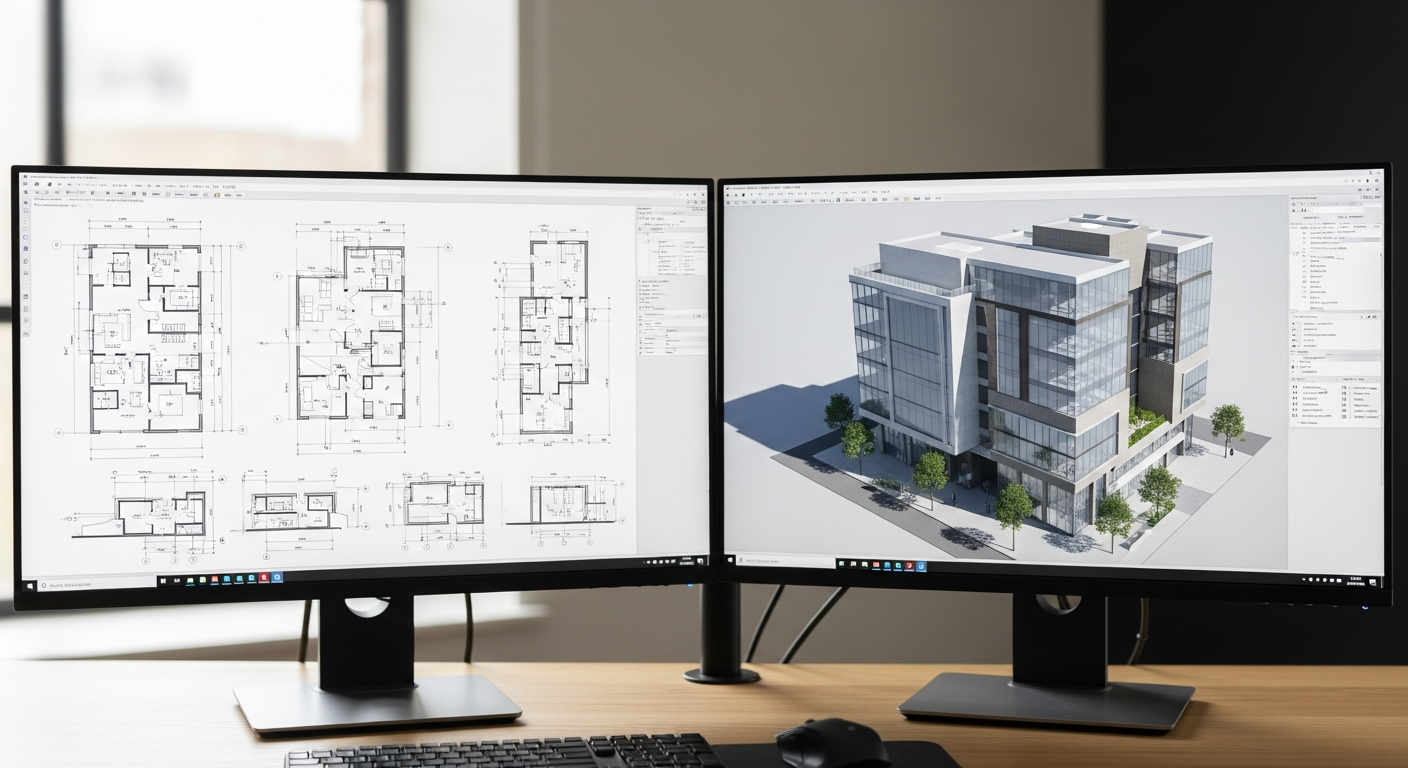
Still, scan data can be a useful foundation when a project calls for a model-based workflow. A point cloud can guide the creation of walls, floors, roofs, openings, and other building elements in a 3D environment. That is where the phrase “scan to BIM” usually enters the conversation.
The key is to separate three different things:
- The captured field data
- The drafted 2D drawing set
- The modeled 3D building representation
They are related, but they are not interchangeable. A homeowner planning a remodel may only need 2D plans. A commercial team coordinating future work may need a more developed model. The right scope depends on what the next project stage requires, not on what sounds most technical.
Frequently asked questions
Is a point cloud as-built better than regular measured plans?
Not automatically. A point cloud can be very helpful on complex spaces, but the best approach depends on the building, the scope, and the final deliverable you need. Many projects are well served by measured as-built drawings alone. The goal is accurate, usable documentation—not extra data for its own sake.
Can you submit a point cloud for permit review?
In most cases, permit review depends on readable drawing sets, not raw scan data. A point cloud may support the drafting process, but cities and plan reviewers generally need plans, elevations, sections, and other clear documentation in standard drawing formats.
What files do you actually receive at the end?
With FastAsBuilt, the standard deliverables are permit-ready CAD files in PDF and DWG. For 3D As-Built Plans, the package includes a 3D model plus 2D floor plans, elevations, and sections. The right package depends on whether your project needs basic documentation or broader 3D coordination.
Does point cloud to CAD mean the drawings are created automatically?
No. Software can assist with viewing and tracing, but experienced drafting judgment is still essential. Someone has to interpret visible conditions, decide how the plan should be represented, clean the linework, organize the layers, and produce drawings that are actually useful to your team.
Start with accurate as-builts
Order field-measured 2D or 3D as-built drawings and let a local crew handle the measuring and drafting.
Get instant pricingBottom line
A point cloud as-built is best understood as a detailed digital capture of existing conditions, not the final drawing set itself. The real value comes from converting scan data into clear, permit-ready plans that match how California projects are actually designed and reviewed. If you need dependable measured floor plans or as-built drawings, FastAsBuilt provides on-site laser measurement across Southern California, the Bay Area, and San Diego, then delivers senior-drafted PDF and DWG files built for real project use.