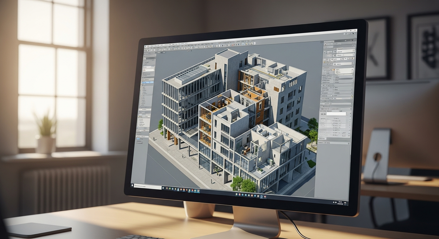
If you work with laser scans, reality capture, or existing building documentation, you will eventually hear the question: what is an e57 file? In simple terms, an E57 file is a standardized format used to store 3D scan data, most often as a point cloud, along with related information such as scanner setup details, color imagery, and metadata. It is widely used because it helps move scan data between different hardware and software platforms without locking you into one manufacturer.
For owners, architects, contractors, and property managers in California, that matters because scan data often needs to travel across several teams. A field crew may capture the site, a drafting team may build permit-ready plans, and a designer or engineer may then use the data for modeling, coordination, or renovation work. Understanding the E57 point cloud format can help you ask better questions about deliverables, compatibility, and whether you need raw scan data at all or just finished CAD drawings. If you are new to this space, it also helps to understand what a point cloud is in as-built drawings before getting deeper into file formats.
What an E57 file actually is
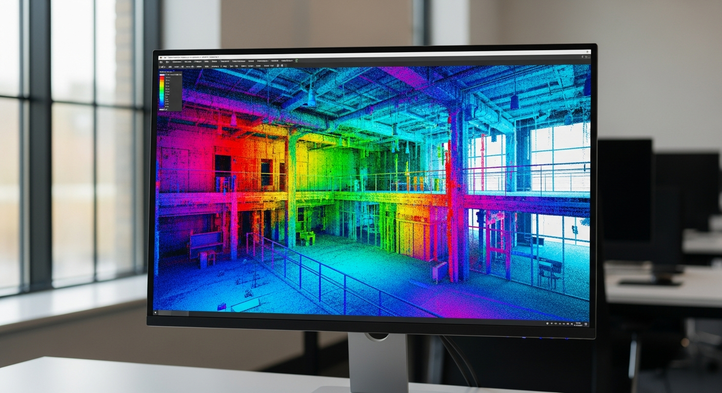
An E57 file is a data format created for 3D imaging systems such as terrestrial laser scanners. Think of it as a container for reality-capture information. The main content is usually a point cloud: millions of measured points in 3D space that represent walls, floors, ceilings, structure, equipment, and other physical features. Many E57 files also include color values, panoramic images, scanner positions, and basic project metadata.
The big advantage is interoperability. Different scanning brands often create their own native file types, but E57 gives teams a more neutral exchange format. That makes it easier to move data into modeling, coordination, and documentation software. In practice, that means the person capturing the building may not use the same program as the architect rebuilding it in BIM or the drafter tracing floor plans from it.
E57 is especially useful when a project needs a clean handoff between reality capture and downstream design work. Rather than sharing only screenshots or proprietary source files, an E57 can preserve a large amount of usable spatial data in a format many platforms recognize.
What information is stored in an E57 file
When people ask what is an e57 file, they usually want to know what is inside it. The answer depends on how the scan was captured and exported, but most E57 files can store several kinds of information at once:
- Point cloud coordinates — the X, Y, and Z location of each measured point.
- Color or intensity values — visual information that helps distinguish surfaces and materials.
- Scan station data — information about where the scanner was positioned for each setup.
- Images — some exports include panoramas or related image data.
- Metadata — timestamps, sensor details, coordinate references, and other project information.
Not every export contains all of these elements. One E57 may be a straightforward unified point cloud, while another may preserve individual scan positions and imagery for more advanced processing. That is why it is smart to ask not just for “the E57,” but for the specific kind of export your consultant or software workflow needs.
If your end goal is a model rather than raw scan data, the file may become a starting point for scan-to-BIM work, where the point cloud is interpreted into walls, doors, windows, roofs, and other modeled elements.
Why the E57 point cloud format matters in building documentation
In existing-condition work, data quality and portability matter as much as the file extension itself. An E57 point cloud format is valuable because it can support many later uses without forcing every team member into the same software ecosystem. That flexibility matters on California projects where the same building may be touched by an owner, architect, engineer, permit expeditor, contractor, and facilities team.
Common uses include:
- Renovation and tenant improvement documentation
- Scan-based floor plan production
- Elevation and section generation
- 3D modeling for design coordination
- Historic documentation and preservation planning
- Clash review and field verification
For example, a project may begin with a site scan, continue with 2D measured plans for permit drawings, and later expand into a 3D model for design development. In that kind of workflow, E57 serves as a practical bridge between capture and production. If you are comparing deliverables, it also helps to review what file formats as-built drawings come in so you know how point cloud data differs from CAD sheets and PDFs.
That said, many projects do not require the owner or architect to work directly inside an E57 file. If your real need is permit-ready documentation, the more useful deliverable may be a complete drawing set or model built from the captured conditions. FastAsBuilt’s process, for example, focuses on on-site laser measurement followed by senior drafters producing permit-ready CAD files in PDF and DWG. For straightforward documentation, you can place an order for measured plans without having to manage raw scan data yourself.
Need accurate as-built plans?
FastAsBuilt sends a local crew to laser-measure your property and delivers permit-ready 2D or 3D drawings, starting at $900.
See 2D & 3D pricingE57 vs native scan files
Most scanner manufacturers produce native files tied to their own ecosystems. Those native formats can be excellent for registration, quality control, and advanced sensor-specific settings, but they are not always easy to share with outside teams. E57 exists largely to solve that handoff problem.
Here is the practical difference:
- Native files are often best for the capture team during initial processing.
- E57 files are often best for exchange between different consultants and software tools.
This does not mean E57 replaces every native format in every situation. Some software works better with the original registered project files from the scanner platform. In other cases, an E57 export is more than enough, especially when the next step is modeling, tracing, or coordination rather than re-processing the scan from scratch.
If you are receiving deliverables from a scanning consultant, a useful question is: “Should we keep the native project files, the E57 export, or both?” The answer depends on whether anyone expects to revisit registration, adjust scan alignment, or extract more information later.
E57 vs other point cloud formats
E57 is not the only way to store point cloud data. You may also hear about formats such as LAS, LAZ, PTS, PTX, RCP, or RCS. Each has a different role. Some are common in civil and geospatial work, some are simple text-based exports, and some are strongly tied to specific software platforms.
At a high level:
- E57 is a neutral exchange format for 3D imaging data.
- RCP/RCS are commonly associated with Autodesk workflows.
- PTS/PTX are older or simpler export formats that may be larger or less efficient.
- LAS/LAZ are often used more in surveying, mapping, and airborne lidar contexts.
For architecture and existing-condition documentation, E57 is popular because it balances portability and usefulness. It tends to be a good middle ground when scan data needs to move into Revit, CAD-adjacent tools, coordination platforms, or specialized point cloud viewers.
Still, “best format” always depends on the next user. If the design team is working in BIM, the more important question may be whether the data can support model creation accurately. That is where it helps to understand CAD vs BIM as-built drawings and how raw scan information becomes actual project deliverables.
How to open E57 file data
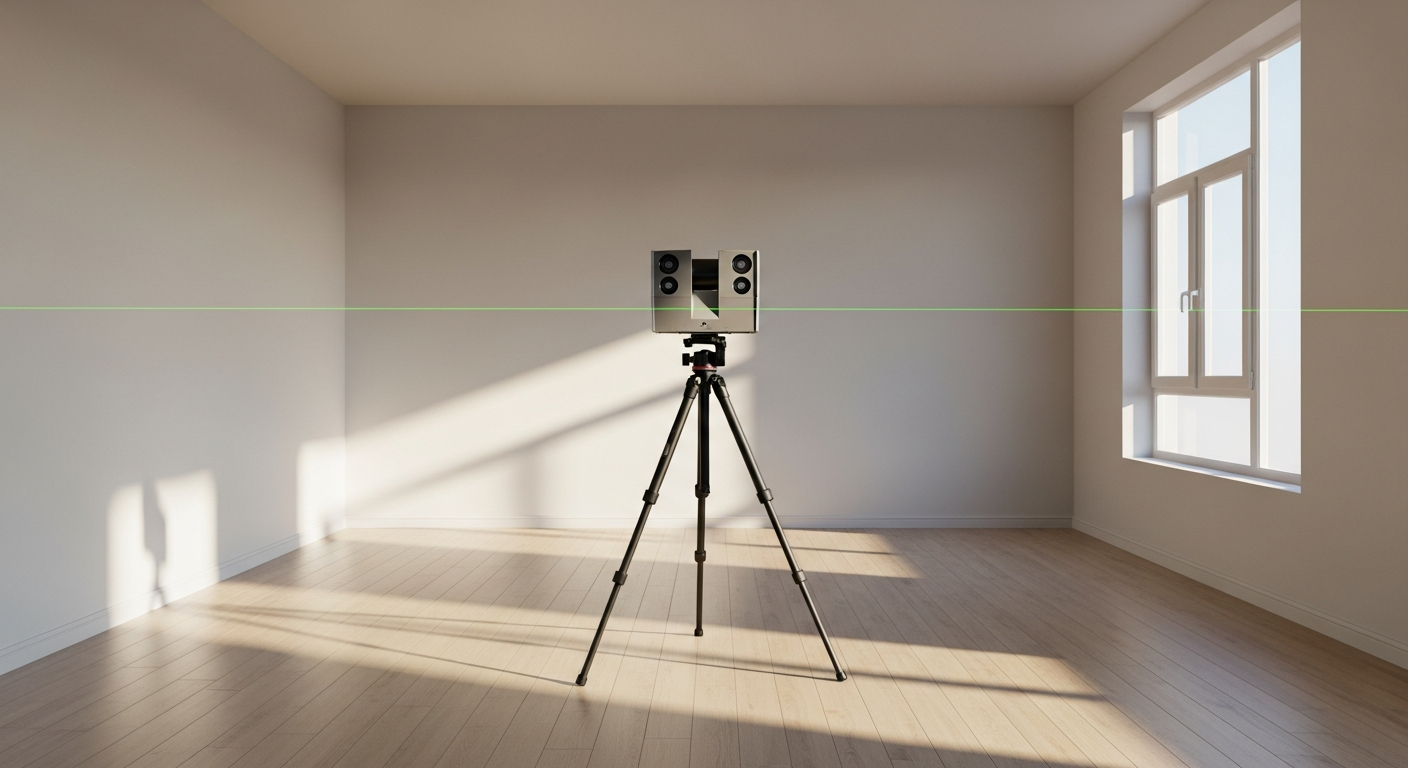
A common follow-up to what is an e57 file is how to open E57 file data in the first place. The short answer is that you need software that supports point cloud viewing or import. E57 is not something most people can double-click and read like a PDF. It is a technical file meant for 3D data environments.
You can usually open E57 file content in one of these categories of software:
- Point cloud viewers designed specifically for scan data review
- Reality capture software used for registration, cleanup, and analysis
- BIM or modeling platforms that can import or link point cloud data
- Coordination software used by design and construction teams
However, “open” can mean different things. Some platforms truly import the point cloud and preserve structure. Others only reference it. Some can read color and scan stations; others only display a simplified cloud. If you are planning to use the data in a design workflow, confirm compatibility before the scanning work is done.
Also, remember that file size can be substantial. Large scans of commercial interiors, multistory buildings, or complex exteriors can demand significant storage and graphics capability. Opening an E57 is not just about software support; it is also about whether your machine can work with dense 3D data efficiently.
Do you need an E57 file for as-built drawings?
Not always. This is one of the most important practical points. An E57 file is a source-data deliverable, not the same thing as a finished as-built drawing set. Many clients ask for scan files because they sound comprehensive, but what they actually need is a usable output: floor plans, elevations, sections, or a 3D model.
You may want an E57 if:
- You have a consultant or internal team that will build a model from the scan
- You expect multiple rounds of design and need a reusable digital record
- You want to preserve existing conditions in more detail than 2D sheets alone can show
- Your project includes complex geometry, historic fabric, or dense MEP conditions
You may not need an E57 if:
- You only need permit-ready 2D as-built plans
- You want a measured floor plan for leasing, planning, or a simple remodel
- Your architect prefers finished DWG files instead of working from point clouds
- Your schedule favors direct drafting from field measurement over a scan-heavy workflow
FastAsBuilt typically delivers permit-ready CAD files in PDF and DWG after on-site laser measurement and drafting. For many residential remodels, ADUs, tenant improvements, and straightforward existing-condition packages, that is the most efficient path. If you are deciding between outputs, compare 2D vs 3D as-built plans and think about what the next consultant in the chain actually needs.
How E57 fits into scan-to-BIM and model creation
E57 files are often part of scan-to-BIM workflows, but they are only the beginning. A point cloud does not automatically become a clean building model. Someone still has to interpret the data, identify elements correctly, decide the required level of detail, and build the geometry according to the project’s purpose.
That process usually includes:
- Capturing field conditions
- Registering and organizing the scan data
- Exporting the cloud in a usable format such as E57
- Importing or referencing it into modeling software
- Creating walls, doors, windows, roofs, structure, and other modeled elements
- Checking the model against the point cloud and the project scope
This is why an E57 is best understood as infrastructure, not the finish line. It preserves the measured reality, but it does not replace drafting judgment or modeling expertise. If your deliverable is a Revit model, families, levels, and modeled categories still need to be created intentionally. If you are exploring that route, see can you get as-built drawings in Revit for a more direct look at the output side.
On California projects, this distinction matters because permit, planning, and consultant coordination needs vary widely by city and building type. Some local jurisdictions may only care about clear plan sets. Others may not ask for scan data at all but benefit from the accuracy it supports behind the scenes.
Common misunderstandings about E57 files
Because E57 sits between field capture and design production, it is easy to overestimate or underestimate what it does. A few misconceptions come up often.
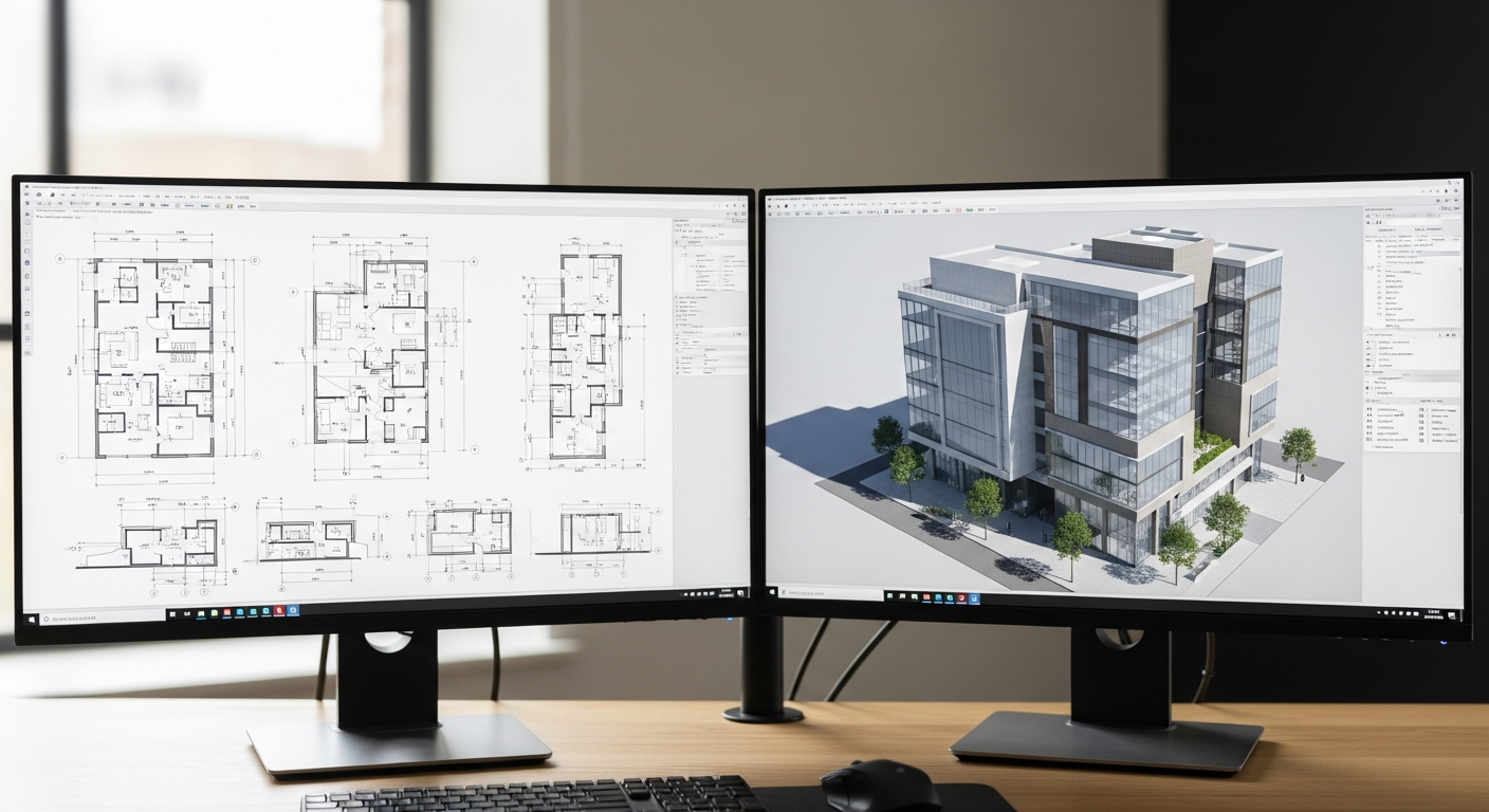
An E57 file is not a drawing
You cannot treat it like a finished sheet set. It is raw or processed scan information, usually intended for viewing, tracing, analysis, or model creation.
An E57 file is not always easy for every consultant to use
Even if a platform technically supports E57, the team may not have the hardware, workflow, or experience to use large point clouds effectively. Always ask what format the next consultant prefers.
An E57 file does not guarantee a project is permit-ready
Permit-ready drawings require drafting, organization, dimensions, notes, and scope-specific content. Scan data improves accuracy, but it does not replace documentation standards.
An E57 file is not automatically “better” than DWG or PDF
It serves a different purpose. If your goal is to submit plans, coordinate a remodel, or hand floor plans to a leasing team, the most valuable deliverable may still be DWG and PDF files. If you want to compare those outputs, review DWG vs PDF as-built drawings explained.
How to request the right deliverables from a scanning or as-built provider
If you think you may need scan data, ask specific questions early. This can prevent expensive rework and avoid getting a file that your team cannot use.
- What is the end use? Permit set, floor plan, Revit model, coordination, or archival record?
- Who will use the file next? Architect, engineer, contractor, or owner’s facilities team?
- Do they want raw scan data, an E57 export, or finished drawings?
- Does the software workflow support E57 directly?
- Will the team need native scan files too?
- What level of detail is required for the final model or drawing set?
For many California property owners, the cleanest route is to start with the final use case instead of the technology. If you need a measured plan set for a remodel, that is different from preserving a complicated industrial space for long-term facility management. FastAsBuilt’s measured services are built around practical outputs: 2D As-Built Plans start at $900 for up to 1,500 square feet, then $0.50 per square foot, include one revision, and typically deliver in 48–72 hours. 3D As-Built Plans start at $1,500, then $1.00 per square foot, include a 3D model plus 2D floor plans, elevations and sections, two revisions, and typically deliver in 3–5 business days. Commercial, ADUs, SB9, and tenant improvement projects are quoted individually.
Turnaround times are estimates and may vary based on project complexity and scheduling.
Those options are often more actionable than receiving a technical scan file alone. If your consultants later need a different format, it is still worth confirming that requirement before fieldwork begins.
Frequently asked questions
Is an E57 file the same as a point cloud?
Not exactly. A point cloud is the 3D data itself, made up of measured points in space. An E57 file is one format used to store that point cloud, often along with images and metadata.
Can you open E57 file data in AutoCAD or Revit?
Some Autodesk-based workflows can use point cloud data, but support often depends on the exact product, version, and whether the file is imported directly or converted into another point cloud format first. Always confirm the current workflow with the design team before requesting deliverables.
Is E57 better than a DWG file?
They are different tools for different purposes. E57 is for 3D scan data exchange. DWG is a drawing format used for CAD production and documentation. If you need editable plans for design and permitting, DWG is usually more useful than raw point cloud data by itself.
Do small residential projects need E57 files?
Usually not, unless the architect or modeler specifically asks for them. Many homes, condos, and straightforward remodels can move forward efficiently with measured as-built plans in PDF and DWG.
Can an E57 file be converted into a BIM model automatically?
Not in a fully reliable, one-click way for most real-world building documentation. Software can assist, but creating a usable BIM model still requires interpretation, cleanup, and modeling decisions by experienced professionals.
Start with accurate as-builts
Order field-measured 2D or 3D as-built drawings and let a local crew handle the measuring and drafting.
Get instant pricingBottom line
An E57 file is a vendor-neutral format for storing 3D scan data, most often as a point cloud with related imagery and metadata. It is valuable when reality-capture information needs to move between platforms and teams, especially in scan-to-BIM or detailed existing-condition workflows. But it is not the same thing as a finished as-built deliverable. If your real need is permit-ready documentation, editable CAD, or a practical 3D model, the right output may be drawings or modeled files built from measured conditions rather than the raw E57 alone. The best approach is to match the deliverable to the next decision your project needs to make.