
If you are researching building scans, renovation documentation, or measured plan workflows, you may have come across the term MatterPak. A common question is simple: what is a MatterPak file? In plain terms, it is a packaged export from Matterport that gives you usable project data outside the standard viewing environment, including files that can support drafting, modeling, and measurement-based workflows.
That matters because a scan is not automatically the same thing as a permit-ready drawing set. A scan can capture useful site information, but architects, contractors, owners, and consultants usually need data in formats they can open, measure, reference, and convert into working documents. Understanding what a MatterPak file contains, what it is good for, and where it fits in a California as-built process helps you choose the right path before design or permit work begins.
What a MatterPak file is
A MatterPak file is a bundled project export associated with Matterport data. Instead of just viewing a property in an online tour, you receive downloadable assets that can be used in outside software. In practical terms, a MatterPak is meant to make scan information more portable for design and documentation teams.
People often use the phrase “MatterPak file” as if it were one single file type, but it is better to think of it as a package of deliverables. Depending on the workflow, the most important part may be the point cloud export, image assets, or reference files that help reconstruct geometry in CAD or modeling software.
This is why the term comes up so often in conversations about renovations, tenant improvements, and existing-condition documentation. If your goal is to move from a Matterport scan into plans, elevations, sections, or a model, the export package is the bridge between scan capture and downstream production.
What is typically included in a MatterPak
While the exact contents can vary by platform updates and project setup, a MatterPak generally refers to a group of data exports tied to the scan. The key idea is that it gives you more than a shareable walkthrough. It provides underlying assets that can support technical use.
- Point cloud export: a spatial dataset representing scanned surfaces as a cloud of measured points.
- Image-based assets: visual references that help users interpret spaces, finishes, and geometry.
- Project reference information: supporting files that help coordinate the scan data in outside software.
- Geometry support for modeling: data that can be used as a reference when creating CAD drawings or a 3D model.
The phrase point cloud export is especially important. A point cloud is not the same thing as a finished floor plan. It is raw or semi-processed measurement information that must still be interpreted by a drafting or modeling team. If you need a deeper overview of scan-based measurement methods, see how 3D laser scanning works for as-builts.
That distinction prevents a common mistake: assuming that once a MatterPak exists, permit-ready plans are done. In reality, most projects still require a skilled drafter to verify the layout, clean up geometry, and produce organized deliverables.

How MatterPak differs from a Matterport tour
A Matterport tour is primarily a viewing experience. It helps you navigate a property remotely, understand room relationships, and visually inspect existing conditions. That can be useful for marketing, coordination, or preliminary familiarization.
A MatterPak, by contrast, is about extracting project data for technical use. The tour is something you look at. The MatterPak is something your team can work from. This difference is easy to miss when people speak casually about “the scan,” but it has real consequences for budgeting and project planning.
For example, if a homeowner in Los Angeles wants to show a designer the house, a tour may be enough for an early conversation. But if the next step is a remodel, ADU study, or plan set for a permit application, the team usually needs measured drawings or a modeled existing-condition set. That is where exported data becomes more relevant.
Why the distinction matters
- A tour supports viewing and communication.
- A MatterPak supports drafting, measurement, and model-building workflows.
- Neither one automatically replaces senior drafting judgment.
- Permit submittals usually require organized CAD documents, not just scan access.
If you are deciding whether scan data can become plans, this guide on making a floor plan from a Matterport scan is a helpful next step.
How teams use Matterport data in practice
Once exported, Matterport data may be used as a reference for several kinds of work. Architects may use it to understand an existing building shell. Interior designers may use it to verify room sizes and wall relationships. Contractors may use it during estimating or preconstruction review. Owners may use it to document a property before changes begin.
In California, these uses often show up in projects such as older-home remodels, retail tenant improvements, duplex and SB9 studies, and ADU planning. Existing buildings rarely match assumptions perfectly, so teams benefit from having measured reference material before design moves too far.
- Existing-condition floor plans
- Preliminary elevations and sections
- 3D modeling references
- Space planning and test fits
- Renovation scoping and coordination
Still, there is a practical limit. Matterport data can support documentation, but most projects benefit from an organized as-built process. FastAsBuilt handles this through on-site laser measurement followed by senior drafters who produce permit-ready CAD files in PDF and DWG formats. If you need a straightforward overview, read what as-built drawings are.
When you already know you need professional deliverables, you can also go directly to our order page to start the process.
Need accurate as-built plans?
FastAsBuilt sends a local crew to laser-measure your property and delivers permit-ready 2D or 3D drawings, starting at $900.
See 2D & 3D pricingWhat a point cloud export is actually good for
The most valuable technical part of many MatterPak workflows is the point cloud. A point cloud records a building as many spatial points rather than as editable walls, doors, and windows. That makes it excellent as a measurement reference, but not yet a finished design file.
Used well, a point cloud helps a drafter or modeler answer questions such as:
- Where are the walls, openings, and major vertical surfaces?
- How do room shapes relate to one another?
- What are the general dimensions and alignments of existing spaces?
- How can a model be built to reflect real-world conditions more closely?
Used poorly, it can lead to false confidence. Teams sometimes treat scan-derived information as if it needs no interpretation. But every existing-condition workflow includes judgment calls, cleanup, and coordination. Clutter, reflective surfaces, furniture, inaccessible areas, and hidden construction conditions can all affect what the data shows clearly.
That is why point clouds are best understood as strong source material, not a substitute for drafting standards. For many owners and contractors, the end goal is still a dependable drawing package, not just access to scanned data.
When a MatterPak is enough—and when it is not
A MatterPak may be enough when your team mainly needs visual and spatial reference for early planning. For example, a consultant might use it for conceptual layouts, remote coordination, or preliminary review of an existing suite. In those cases, the export can save time by giving the team a shared base of information.
It may not be enough when the project needs formal documentation. If you are preparing construction drawings, permit applications, consultant backgrounds, or contractor coordination sets, raw exports usually need to be converted into structured documents. California projects often move quickly from concept to technical review, and that transition is where many scan-only workflows fall short.
Common situations where more than a MatterPak is needed
- Permit-ready as-built plans
- Clean CAD backgrounds for architects and engineers
- Accurate elevations and sections
- Documented existing conditions for remodels or additions
- 3D model deliverables tied to drawing production
FastAsBuilt’s process is designed for that next step. We field-measure on site using laser tools, then senior drafters create the final CAD package. For 2D As-Built Plans, pricing starts at $900 for up to 1,500 square feet, then $0.50 per square foot, with one revision and typical delivery in 48 to 72 hours. For 3D As-Built Plans, pricing starts at $1,500, then $1.00 per square foot, and includes a 3D model plus 2D floor plans, elevations, and sections, with two revisions and typical delivery in 3 to 5 business days. Commercial projects, ADUs, SB9 work, and tenant improvements are quoted individually.
Turnaround times are estimates and may vary based on project complexity and scheduling.
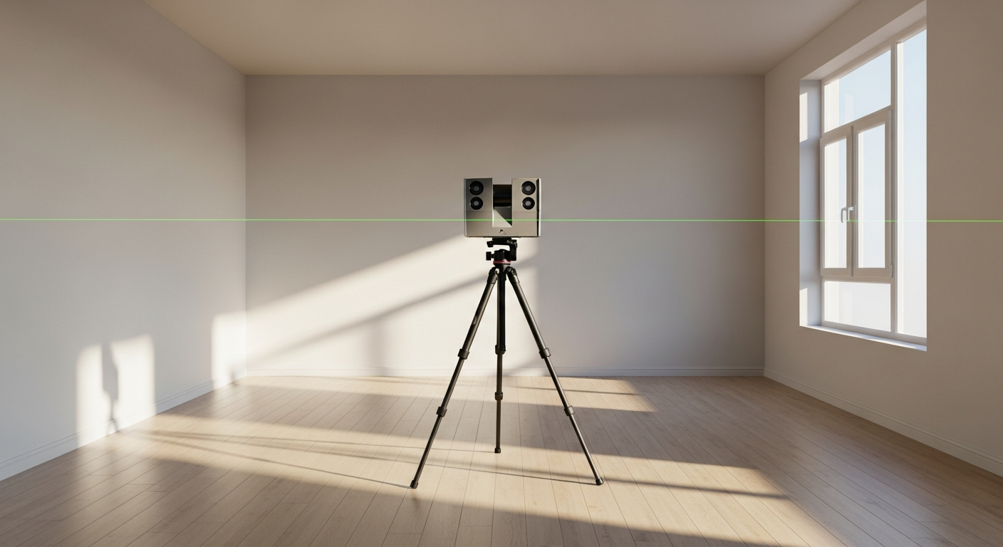
How MatterPak fits into an as-built drawing workflow
If you are trying to map the full process, it helps to see where Matterport data sits in relation to measured drawings. A MatterPak is usually an input. As-built drawings are usually an output. Between those two steps is the work of interpretation, drafting, organization, and quality control.
A typical workflow might look like this:
- Capture existing conditions on site
- Export Matterport data or gather other measured references
- Review geometry and spatial relationships
- Draft floor plans, then develop elevations and sections if needed
- Revise and standardize the files for project use
- Deliver PDF and DWG files for the design or permit team
In many cases, direct field measurement remains important even when scan data exists. A project may need spot checks, confirmation of critical dimensions, or clearer interpretation of features that are not cleanly captured. If you want to understand the drafting side better, see how as-built drawings are made.
This is also why owners should ask a simple question before hiring anyone: “Will I receive data, drawings, or both?” The answer affects schedule, budget, and whether your architect or contractor can begin work right away.
Questions to ask before relying on Matterport data
Before you treat a MatterPak as the foundation for a project, it is worth clarifying exactly what your team needs next. The right choice depends less on the technology name and more on the final deliverable.
- Do you need a visual tour, a point cloud export, CAD plans, or all three?
- Will your architect or contractor accept raw scan data, or do they need finished drawings?
- Are elevations and sections required, or only floor plans?
- Is the project headed toward permit review?
- Do you need PDF and DWG files for direct use in design software?
- Will someone verify dimensions and clean up the geometry?
These questions are especially important for California properties with additions, older construction, irregular layouts, or incomplete records. In those settings, relying on a scan alone can create extra back-and-forth later. A cleaner approach is to decide up front whether the project needs documentation-grade as-builts.

Frequently asked questions
Is a MatterPak file the same as a floor plan?
No. A MatterPak is an export package of Matterport data, often including a point cloud export and supporting assets. A floor plan is a drafted document. The export may help produce the plan, but it is not the same thing as a finished, organized drawing.
Can a MatterPak be used for permit drawings?
Not by itself in most cases. Permit workflows typically require clear CAD drawings prepared for design and review. A MatterPak can provide useful source information, but a drafting team usually still needs to convert that information into permit-ready files.
What is the difference between MatterPak and Matterport data?
Matterport data is the broader scan information associated with a Matterport capture. A MatterPak is a specific export package that makes some of that data portable for use outside the viewing platform. In casual use, people may blur the terms, but the export package is the practical handoff for technical workflows.
Should you order a MatterPak or measured as-built drawings?
It depends on what you need next. If your goal is early review or spatial reference, exported scan data may be enough. If your goal is renovation planning, consultant coordination, or permit submission, measured as-built drawings are usually the more useful deliverable because they are already organized for project work.
Start with accurate as-builts
Order field-measured 2D or 3D as-built drawings and let a local crew handle the measuring and drafting.
Get instant pricingBottom line
A MatterPak file is best understood as a technical export package from Matterport, not as a finished plan set. It can be very useful for sharing scan-based building information, especially point-cloud and reference data, but most real projects still need that information turned into dependable drawings or models. If your California project is moving toward design, construction, or permit work, the most practical question is not just what a MatterPak is—it is whether you need raw data, final as-builts, or both. FastAsBuilt helps bridge that gap with field-measured plans and permit-ready CAD deliverables tailored to existing buildings.