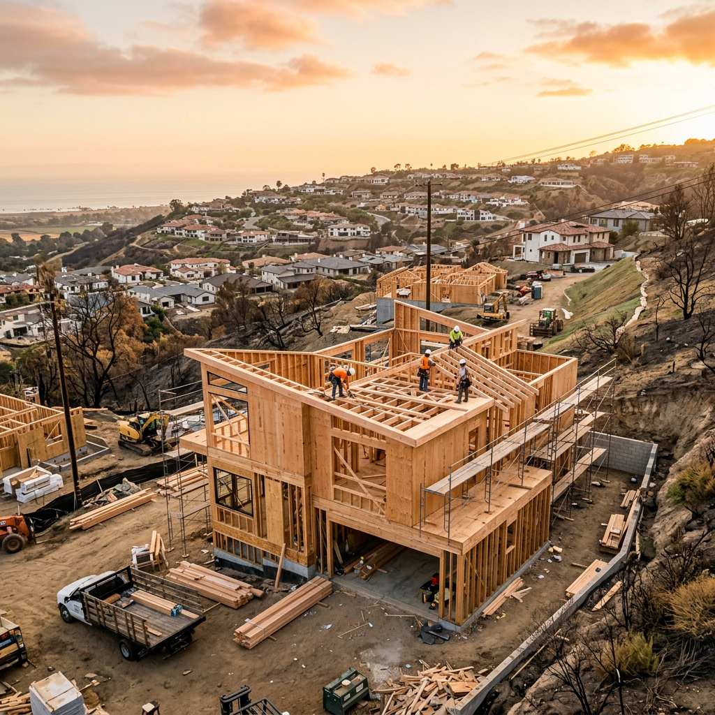
A flood elevation certificate is a standardized document used in floodplain management and flood insurance to show how a building sits in relation to expected flood levels. For property owners, buyers, designers, and managers, it can affect insurance pricing, permitting discussions, and decisions about whether floodproofing or elevation work makes sense.
In California, the need for a flood elevation certificate usually comes up when a property is in or near a mapped flood hazard area, when substantial improvements are planned, or when an owner wants to document existing conditions for insurance or compliance purposes. It is important to understand what this certificate does, what it does not do, and where measured plans fit into the process.
What a flood elevation certificate actually is
A flood elevation certificate is a form, generally prepared by a qualified professional such as a licensed land surveyor, engineer, or architect where allowed, that records building elevation data used by communities and insurers. It identifies key elevations for the structure, such as the lowest adjacent grade, the top of the lowest floor, attached equipment elevations, and other details needed to compare the building to the applicable flood elevation.
The certificate is not just a rough site note. It is a formal piece of documentation intended to support floodplain administration and insurance underwriting. Depending on the situation, it may be used to:
- Help determine flood insurance premiums
- Support local floodplain permit review
- Document whether a building appears to be above or below the required flood elevation
- Guide decisions about retrofits, utility protection, or more extensive resilience work
- Create a record for future transactions, claims, or disaster documentation
For many owners, the most practical way to think about a flood elevation certificate is this: it is evidence of vertical building position in flood terms. It does not replace architectural drawings, engineering design, or a boundary survey, but it often works alongside those documents.
Why California property owners ask about it
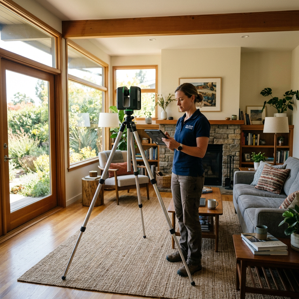
California is often discussed through the lens of wildfire and earthquakes, but flood risk is a real issue in coastal zones, river corridors, inland valleys, low-lying neighborhoods, and areas affected by stormwater backup or drainage constraints. Even owners who have never experienced standing water on site may be asked about flood hazard exposure during refinancing, purchase due diligence, or permit review.
Common reasons you may be asked for a flood elevation certificate include:
- You are buying or selling a property in a mapped flood zone
- Your lender or insurer wants more accurate elevation information
- You are planning an addition, tenant improvement, ADU, or major remodel
- Your local jurisdiction needs floodplain documentation before issuing permits
- You want a stronger paper trail for proof-of-loss documentation after a water event
- You are evaluating resilience upgrades and need baseline elevation data
Because California permit processes vary by city and county, the exact trigger for needing a certificate can differ. The safest approach is to confirm requirements directly with the local building department or floodplain administrator early in project planning.
What information is usually included
While the exact form layout is standardized, the content is technical. A flood elevation certificate typically includes property identification, flood map references, building characteristics, and measured elevations tied to a vertical datum. It may also contain photographs that document the structure and help verify building configuration.
Typical components include:
- Property address and parcel-related identifying information
- Flood zone and map panel references
- Building type and occupancy details
- Foundation type and enclosure information
- Elevations for the lowest floor, machinery and equipment, adjacent grade, and other relevant points
- Professional certification and signature
Those measurements matter because a few feet, or even inches, can change how a building is classified for insurance or how a jurisdiction reviews compliance. That is one reason owners should avoid relying on old listing sketches or informal contractor notes when accurate flood documentation is needed.
When a project also needs measured plans, it helps to separate responsibilities. The elevation certificate is prepared by the appropriate licensed professional, while measured as-built drawings document the building layout and existing conditions. If you are new to that distinction, this overview of what as-built drawings are is a helpful starting point.
Need accurate as-built plans?
FastAsBuilt sends a local crew to laser-measure your property and delivers permit-ready 2D or 3D drawings, starting at $900.
See 2D & 3D pricingHow it differs from surveys, as-builts, and permit plans
Many owners hear several similar terms at once and assume they mean the same thing. They do not. A flood elevation certificate is a specific flood-related document. An ALTA survey, boundary survey, topographic survey, as-built drawing set, and permit plan set all serve different purposes.
Flood elevation certificate
Focuses on elevation data relevant to floodplain rules and insurance.
Boundary or topographic survey
Shows property lines, easements, site features, contours, and horizontal relationships on the land. It may support the elevation certificate process, but it is not the same document.
As-built drawings
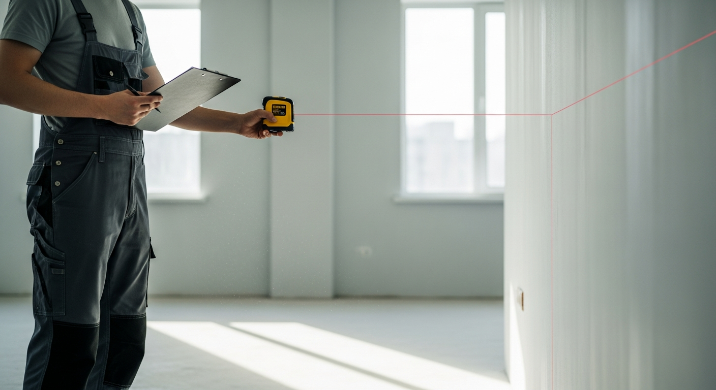
Show the building as it exists in measured form—typically room layouts, wall locations, doors, windows, and often exterior elevations or sections depending on scope. FastAsBuilt produces field-measured as-built drawings and measured floor plans across California using on-site laser measurement, followed by permit-ready CAD files in PDF and DWG.
Permit plans
Used to show proposed work for agency review. Permit drawings may rely on existing-condition as-builts as a base. If you are preparing a remodel or recovery project, measured existing plans can save time and reduce avoidable errors during design.
This distinction matters in disaster recovery. After water damage, fire, or a major claim, owners often need more than one document type. Articles on as-built drawings for a fire or insurance rebuild and why insurance adjusters use as-built drawings explain how measured plans support documentation beyond the flood certificate itself.
When a flood elevation certificate may affect insurance
Insurance is one of the main reasons people search for a flood elevation certificate. In some situations, an insurer may be able to use elevation data to rate a building more accurately than if it relied only on broad map assumptions. That does not mean the certificate always lowers cost, but it can clarify the actual relationship between the structure and expected flood levels.
Owners should keep expectations realistic. A certificate is not a bargaining tool by itself; it is a technical record. If the building sits lower than expected, the certificate may confirm higher risk rather than reduce it. If the building sits higher, it may help show that the structure has less exposure than a map alone suggests.
It can also help during claim preparation and future resilience planning. Strong pre-loss documentation before disaster strikes gives owners a better record set when they need to explain the property’s condition, building configuration, and improvements.
How it connects to retrofit plans and resilience work
A flood elevation certificate does not design the fix, but it often informs the next decision. If the documented elevations show that the building is vulnerable, the owner and design team can evaluate retrofit plans. Depending on the property type and jurisdiction, that may include:
- Raising equipment above expected flood levels
- Changing enclosure use below elevated floors
- Improving drainage and site flow patterns
- Wet or dry floodproofing strategies where allowed
- Planning a more substantial building elevation project
- Coordinating additions or remodels to avoid triggering costly redesign late in permitting
For California owners, retrofit planning should be coordinated carefully with local officials because floodplain rules interact with zoning, structural design, energy compliance, and in some areas coastal or environmental review. A measured baseline set of plans is often the practical first step before architects and engineers prepare proposed work.
FastAsBuilt commonly supports this stage by documenting the existing building. Our 2D As-Built Plans start at $900 for up to 1,500 square feet, then $0.50 per square foot, include 1 revision, and typically deliver in 48–72 hours. Our 3D As-Built Plans start at $1,500, then $1.00 per square foot, include a 3D model plus 2D floor plans, elevations, and sections, 2 revisions, and typically deliver in 3–5 business days. For commercial sites, ADUs, SB 9 projects, and tenant improvements, we quote custom scopes individually.
Turnaround times are estimates and may vary based on project complexity and scheduling.
What FastAsBuilt does in the process
FastAsBuilt does not issue flood elevation certificates. That certificate must be prepared by the appropriate licensed professional. What we do provide is the measured building documentation that often helps owners, architects, engineers, contractors, and claims professionals move the rest of the project forward with fewer unknowns.
Our process is straightforward:
- Local crews visit the site in Southern California, the Bay Area, or San Diego
- We use on-site laser measurement to capture the existing building accurately
- Senior drafters produce permit-ready CAD files in PDF and DWG
- You receive a clear existing-conditions base for design, permitting, claims support, or reconstruction planning
This is especially useful when the original drawings are missing, outdated, or unreliable. If you need a practical overview of the workflow, see how as-built drawings are made. If you already know you need plans, you can also order measured drawings online to start the process.
Common scenarios where owners need both documents
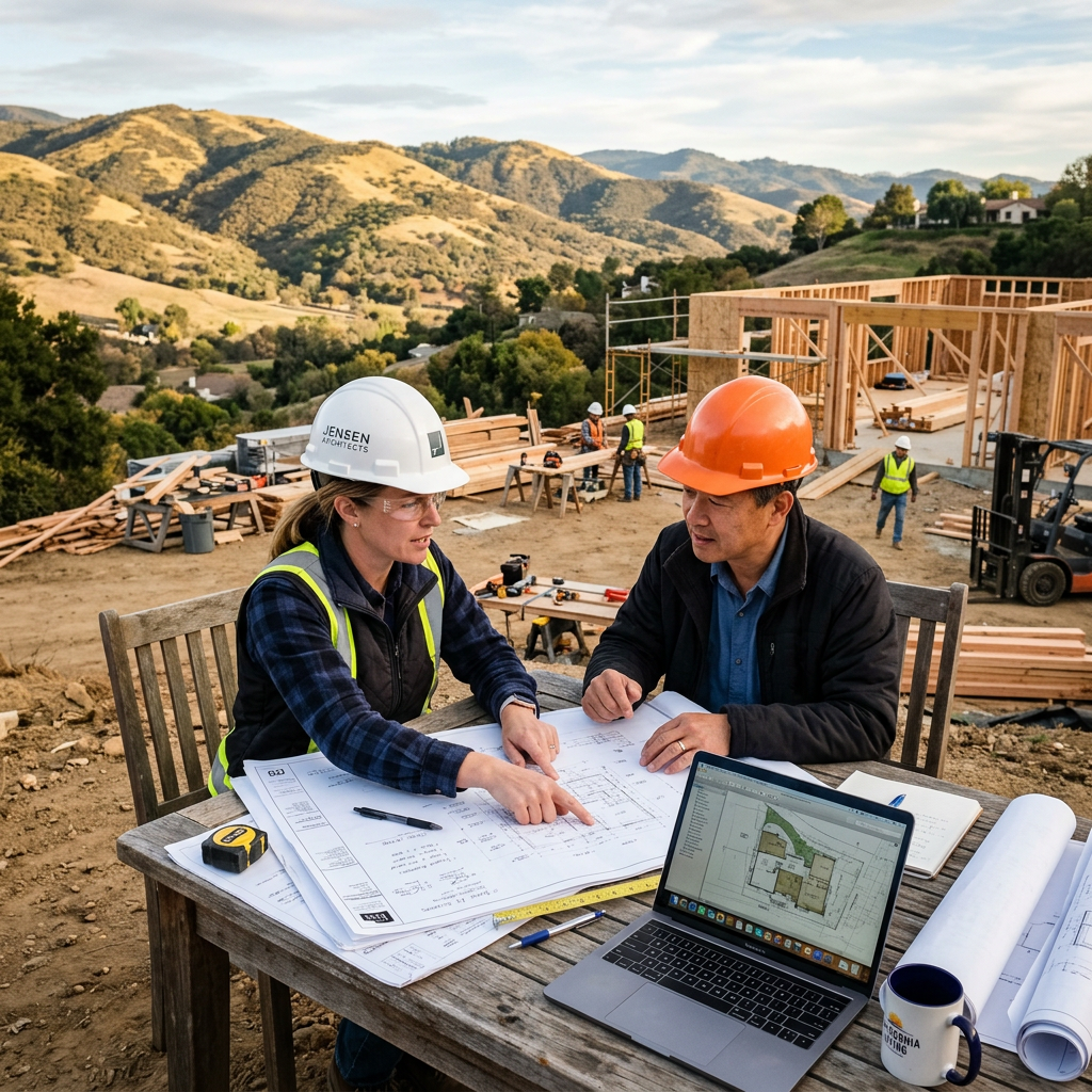
The flood elevation certificate and measured as-builts are often most valuable together. One establishes flood-related elevation data; the other establishes the physical layout and existing building conditions. Here are some common California scenarios where both may be part of the file:
- Major remodels in flood-prone areas: the jurisdiction may want elevation-related documentation, while the architect needs accurate existing plans.
- Post-disaster recovery: owners may need disaster documentation for claims, permit records, and rebuilding decisions.
- Property acquisition due diligence: buyers want clarity on flood exposure and a trustworthy floor plan for future budgeting.
- Substantial improvement reviews: local agencies may compare project scope and building condition against floodplain thresholds.
- Commercial tenant improvements: landlords and tenants may need existing plans while confirming whether flood rules affect the project.
In each case, accurate documentation at the beginning is usually less expensive than redesign, permit delay, or insurance confusion later. That is why many teams treat measured existing-condition plans as a foundation document, even when the first request that sparked the conversation was only for a flood certificate.
What to ask before hiring anyone
If a lender, insurer, or city counter asks for a flood elevation certificate, get very specific before scheduling work. A short call with the agency or professional can prevent the wrong deliverable from being ordered.
Useful questions include:
- Do you need a current flood elevation certificate, or will a prior accepted certificate work?
- Who is allowed to prepare and sign it in this jurisdiction?
- What vertical datum should be used?
- Do you also need a topographic survey, site plan, or photographs?
- Is the request tied to insurance, permit review, a substantial improvement analysis, or a transaction?
- Do you also need measured building plans for design or claims support?
If measured plans are part of the need, also confirm the expected level of detail. Some projects only need floor plans. Others need elevations and sections to support structural review, accessibility upgrades, or proposed resiliency work. This is where a provider that focuses on field-measured existing conditions can help define scope clearly at the start.
Start with accurate as-builts
Order field-measured 2D or 3D as-built drawings and let a local crew handle the measuring and drafting.
Get instant pricingFrequently asked questions
Is a flood elevation certificate the same as a FEMA flood map?
No. A flood map shows the broader mapped hazard area and flood zone. A flood elevation certificate documents measured information about a specific building on a specific property. The map provides area context; the certificate provides building-specific elevation data.
Can measured floor plans replace a flood elevation certificate?
No. Measured floor plans and as-built drawings document the building layout and existing conditions, but they do not substitute for a flood elevation certificate. If a lender, insurer, or jurisdiction requires the certificate, it must be prepared by the appropriate qualified professional.
When should a California owner get one?
Usually when a property is in or near a mapped flood hazard area and there is an insurance, lending, permit, or compliance reason for it. It may also become important when planning major improvements or gathering disaster documentation. Because local rules vary, confirm the requirement with the city or county handling the project.
What if the original building plans are missing?
That is common. Missing plans do not usually prevent a flood elevation certificate from being prepared, but they can slow related design or permit work. FastAsBuilt can document the existing structure with field-measured as-built drawings so your architect, engineer, or contractor has a reliable base to work from.
How fast can existing-condition plans be delivered?
For many residential projects, FastAsBuilt’s 2D As-Built Plans typically deliver in 48–72 hours and our 3D As-Built Plans typically deliver in 3–5 business days. Timing can vary with scope and access, and custom commercial or tenant improvement projects are quoted individually.
Turnaround times are estimates and may vary based on project complexity and scheduling.
Why documentation quality matters after a loss
After flooding or any major property event, documentation quality has a direct effect on how efficiently the next steps unfold. Owners may need to explain pre-loss condition, current damage, building configuration, and what needs to be rebuilt or retrofitted. A flood elevation certificate can help establish the building’s flood-related position, while measured as-builts can help everyone understand what is actually there.
That combination is useful for designers, contractors, consultants, and insurance professionals alike. It can also reduce disputes caused by guesswork, old listing sketches, or plans that no longer match the building. In broader recovery situations, owners often pair these records with photos, maintenance records, and claim files to build a cleaner administrative package.
If your next step involves rebuilding rather than only documenting, resources on rebuilding after a fire in California show how measured existing-condition plans support permit and reconstruction workflows in disaster-related projects generally.
Bottom line
A flood elevation certificate is a specialized document that shows how a building’s elevations relate to flood requirements and risk. It can matter for insurance, permit review, compliance, and smart retrofit planning, but it is not a substitute for measured as-built drawings. When your project needs both flood-related certification and accurate existing-condition plans, FastAsBuilt provides the measured building documentation that helps the rest of the team work from a reliable base.