Drone Roof Measurements for Solar and Re-Roofs
Drone roof measurement helps solar and re-roof teams capture roof geometry faster, but the best workflow still depends on accuracy, access, and permit needs.
Read article →Practical guides on as-built drawings, permitting, renovations, and property documentation in California.

Drone roof measurement helps solar and re-roof teams capture roof geometry faster, but the best workflow still depends on accuracy, access, and permit needs.
Read article →
Terrestrial vs mobile laser scanning comes down to accuracy, speed, coverage, and deliverables—especially when you need dependable as-builts for California design and permit workflows.
Read article →
SLAM scanning for buildings uses sensors and software to map spaces while moving, offering fast reality capture that can support as-builts, planning, and documentation.
Read article →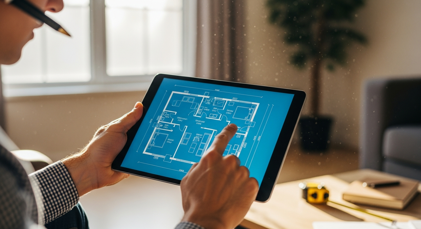
No plans for your house? There are a few ways to get them — from public records to professional measuring. Here is every option, ranked by accuracy and when to use each.
Read article →
A building digital twin is a data-connected virtual model of a real property, built from measured geometry and asset information for planning, operations, and change management.
Read article →
Consumer scanning apps are useful for rough layouts, but scanning app floor plan accuracy usually falls short of the consistency and documentation needed for permit-ready plans.
Read article →
Laser scan registration targets are reference markers that help align multiple scans into one accurate coordinate system for dependable as-builts and reality capture workflows.
Read article →
A colorized point cloud is a 3D scan dataset that combines precise geometry with image-based color, making existing building conditions easier to review and document.
Read article →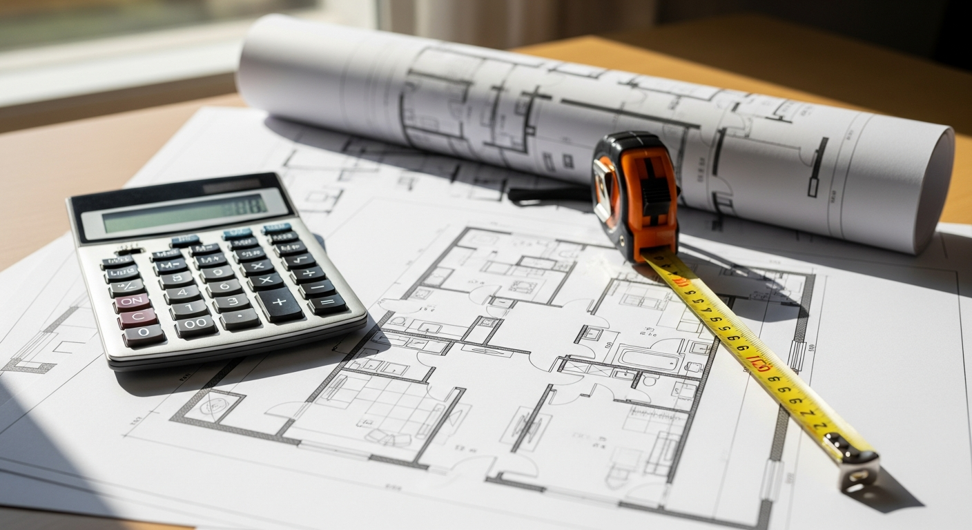
Learn the as-built drawings cost for a house, what drives price by size and scope, and how to get fast residential quotes in California.
Read article →