
A colorized point cloud is a 3D dataset made from many measured points in space, with red, green, and blue color values added so the scan looks more like the real building. In practical terms, it combines geometry and visual context. You do not just see where surfaces are; you also see their apparent color and texture, which makes walls, doors, ceilings, structural elements, and equipment easier to identify during review.
For owners, architects, engineers, contractors, and facilities teams, a colorized point cloud is often part of a broader reality capture workflow. It can help a team understand existing conditions before design, renovation, tenant improvements, adaptive reuse, or documentation. If you are preparing a scope or comparing deliverables, it also helps to understand what a colorized point cloud is not: it is not the same thing as a finished CAD as-built drawing, and it does not automatically replace field judgment, drafting standards, or permit-ready documentation.
What a colorized point cloud actually contains
A point cloud is made of millions of individual measured points. Each point has a location in 3D space. In a colorized point cloud, each point also carries color information, usually derived from images captured by the scanner or a related camera system. The result is a dense visual map of the building or site as it existed when scanned.
This matters because raw geometry alone can be hard to interpret, especially in busy interiors. Once color is added, the data becomes easier to navigate. You can distinguish a painted wall from a glass panel more quickly, identify ceiling devices more confidently, and better understand transitions between finishes, furnishings, and building systems.
- Geometry: the measured XYZ position of each point
- Color: visual RGB information attached to those points
- Density: how tightly spaced the points are across surfaces
- Coverage: which areas were actually captured on site
- Registration: how multiple scans were aligned into one coordinate framework
If you are new to the topic, it helps to start with what a point cloud is in as-built drawings and then look at colorization as an added layer of usability rather than a separate survey type.

How a colorized point cloud is created
The process usually starts with 3d laser scanning. A terrestrial scanner is placed at multiple positions throughout a property. At each setup, the instrument measures surrounding surfaces and creates a local point cloud. The scanner, or an associated imaging system, also captures photos. Software then aligns the separate scans, maps the image information onto the measured points, and produces a colorized dataset.
That sounds simple, but quality depends on method. Good scan planning reduces shadows, blocked lines of sight, and missed areas behind furniture or equipment. Controlled registration reduces alignment error between scan positions. Thoughtful image capture improves the final appearance and legibility of the colorized cloud.
In many projects, a team may choose among several capture methods depending on scope, speed, and required detail. Fixed terrestrial scanners are common for high-detail interior work. Mobile systems may move faster through large spaces, but the workflow and tradeoffs differ. If you want a broader technical overview, see how 3d laser scanning works for as-builts.
Why color matters in reality capture
Color does not usually make the geometry more accurate by itself, but it often makes the dataset more useful. In reality capture, usefulness matters. Teams need to understand existing conditions quickly, communicate clearly, and reduce ambiguity. A grayscale or uncolored point cloud may still be perfectly valid for measurement, yet a colorized version can be easier for non-scanning specialists to read.
For example, imagine a renovation of an occupied commercial suite. A design team reviewing the scan may need to locate fire devices, diffusers, glazing, soffits, access panels, or storefront framing. Color can help separate one object from another when shapes alone are not obvious. It also supports faster orientation during coordination meetings because the scene looks closer to what the team would recognize in person.
- It improves visual interpretation of captured conditions.
- It helps distinguish adjacent materials and objects.
- It can make coordination with owners and consultants easier.
- It supports clearer QA review before drafting begins.
- It can reduce misreads when working in dense interiors.
That is why colorized point clouds are often discussed within the larger topic of reality capture in construction. The goal is not only to capture measurements, but to create a reliable digital reference that a project team can actually use.
Need accurate as-built plans?
FastAsBuilt sends a local crew to laser-measure your property and delivers permit-ready 2D or 3D drawings, starting at $900.
See 2D & 3D pricingWhat a colorized point cloud is used for
A colorized point cloud can support many tasks, especially on existing buildings where documentation is incomplete, outdated, or inconsistent. In California, that is common across older multifamily properties, retail tenant spaces, industrial buildings, schools, and homes undergoing additions or ADU work.
Typical uses include pre-design verification, measurement extraction, clash review, and drafting support. It can also help owners preserve a record of existing conditions before demolition, repair, or repositioning work. On more technical jobs, consultants may reference the point cloud while developing structural, mechanical, electrical, or facade scopes.
Common project applications
- Existing-condition documentation before renovation or tenant improvements
- Architectural base information for floor plans, elevations, and sections
- Coordination of MEP systems in complex ceiling spaces
- Verification of dimensions where legacy drawings are unreliable
- Historic building documentation before alterations
- Large-property records for facilities and asset planning
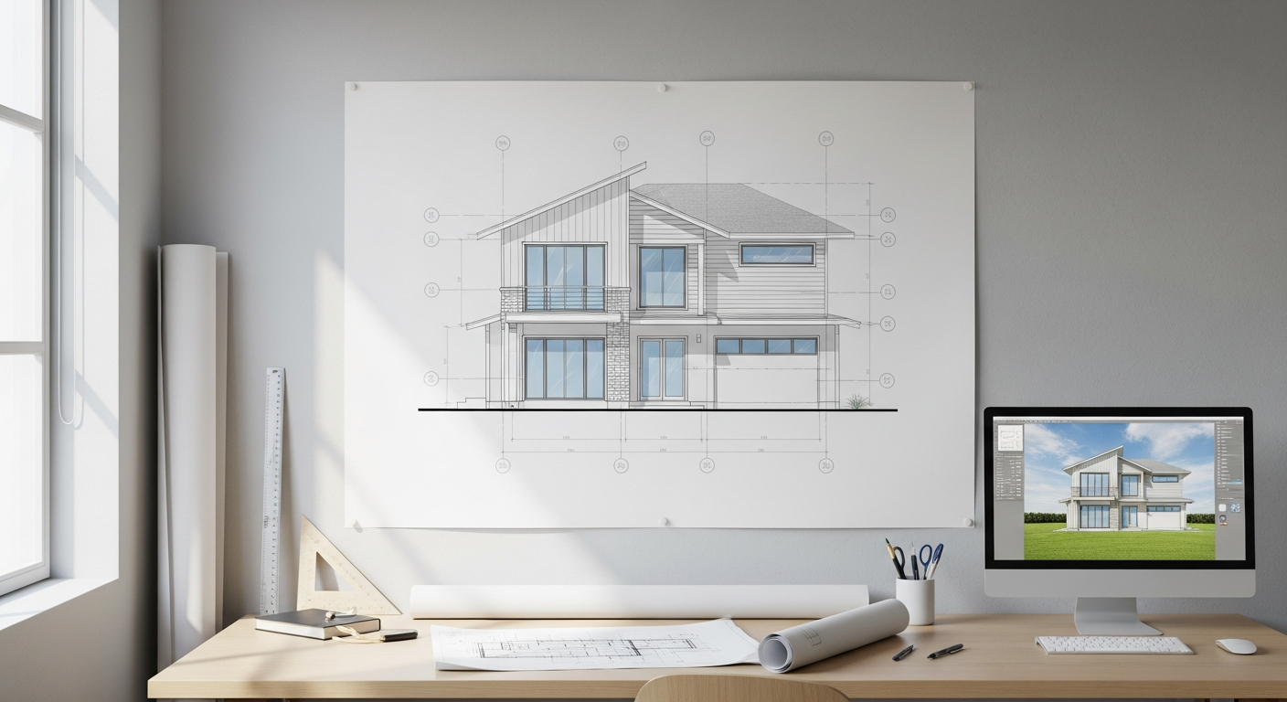
Even so, a point cloud is usually an intermediate deliverable, not the end product most jurisdictions review. Permit sets typically require organized drawings or models prepared to the needs of the project. FastAsBuilt’s method is on-site laser measurement followed by senior drafters producing permit-ready CAD files in PDF and DWG formats. If your end goal is finished documentation rather than raw scan data alone, that distinction matters.
Colorized point cloud vs. raw point cloud
The difference is straightforward: a raw point cloud focuses on measured points, while a colorized point cloud adds visual information. Both can be useful. The right choice depends on who will use the data and for what purpose.
A raw cloud may be enough for specialist users who care mainly about geometry and are comfortable navigating scan software. A colorized cloud is often better for mixed teams that include owners, project managers, architects, estimators, and consultants who need faster visual comprehension.
- Raw point cloud: often lighter visually, more abstract, measurement-focused
- Colorized point cloud: more intuitive to read, stronger visual context
- Both: depend on field coverage, scan planning, registration quality, and software handling
Colorization does have practical limitations. It may be less consistent in spaces with poor lighting, shiny surfaces, reflective glass, or moving people. If photos are stitched from multiple positions, some visual mismatches may appear. That does not automatically make the geometry wrong, but it is a reminder that color should help interpretation, not substitute for professional review.
How accurate is it, and what affects reliability?
When people ask about a colorized point cloud, they are usually asking about two different things at once: geometric accuracy and visual clarity. These are related but not identical. The measured geometry comes from the scan method and registration process. The color comes from imaging. A point cloud can be geometrically strong while the color is merely adequate, or vice versa.
Several factors affect reliability:
- Scanner type and calibration
- Number and placement of scan positions
- Distance to the target surfaces
- Occlusions from furniture, equipment, and occupants
- Reflective, transparent, or dark materials
- Registration workflow and QA checks
- How the final deliverable will actually be used
If you are writing an RFP, it is better to define required outcomes than to ask for “a scan” in the abstract. For example, specify whether you need a colorized point cloud only, extracted dimensions, floor plans, elevations, sections, or a modeled deliverable. You should also confirm tolerance expectations with the project team and local jurisdiction when the drawings will support permit or code-related work. For a general discussion of the measurement side, see how accurate 3d laser scanning is for as-builts.
What it does not replace
A colorized point cloud is valuable, but it does not replace every other form of documentation. It does not by itself create a complete permit set. It does not resolve code questions. It does not tell you whether an assembly is compliant with Title 24, whether a property qualifies for SB 9 development standards, or how a local department wants a submittal organized. In California, those jurisdiction-specific details should always be confirmed locally.
It also does not fully replace selective field verification. Some areas may be blocked during scanning. Some critical elements may be above ceilings, behind panels, or inside walls. If your scope depends on hidden conditions, destructive investigation or specialty consultants may still be needed.
- It does not replace drafted as-built drawings.
- It does not replace permit research or code review.
- It does not replace scope-specific consultant judgment.
- It does not automatically capture hidden conditions.
That is one reason many clients ultimately request finished plans rather than scan files alone. If you are budgeting for documentation, California as-built drawing costs are usually more relevant to the project outcome than the scan term by itself.
How to specify a colorized point cloud in an RFP
If you are procuring services for an owner, design firm, school, facility, or commercial property, it helps to be specific. “Need a colorized point cloud” is a start, but it leaves too much open to interpretation. Better RFP language identifies the building type, square footage, intended use, access constraints, and required final deliverables.
Good scopes usually answer these questions:
- What areas are included and excluded?
- Interior only, exterior only, or both?
- Is the project active, occupied, furnished, or after-hours?
- Do you need a colorized point cloud as a standalone file, or as support for drawings/modeling?
- What drawing set is required: floor plans, roof plan, elevations, sections, reflected ceiling plan, or 3D model?
- What format is required for final files?
- What turnaround is needed?
For many California projects, the real need is not “scan everything” but “capture enough reliable existing-condition data to produce permit-ready documents efficiently.” FastAsBuilt focuses on that outcome. Our local crews serve Southern California, the Bay Area, and San Diego. We use on-site laser measurement, then senior drafters prepare the resulting CAD files.
If you want a straightforward path to finished documentation, you can review our packages. 2D As-Built Plans start at $900 for up to 1,500 square feet, then $0.50 per square foot, include one revision, and typically deliver in 48–72 hours. 3D As-Built Plans start at $1,500, then $1.00 per square foot, include a 3D model plus 2D floor plans, elevations, and sections, include two revisions, and typically deliver in 3–5 business days. Custom commercial, ADU, SB9, and tenant improvement projects are quoted individually.
Turnaround times are estimates and may vary based on project complexity and scheduling.

How colorized point clouds fit into as-built workflows
In a real project workflow, the colorized point cloud is often a reference layer that supports decisions and drafting. A field team captures the building. The scan data is organized and reviewed. Senior drafters then trace, interpret, and structure the relevant geometry into usable plans, elevations, sections, or models. That translation from scan to document is where many project outcomes are won or lost.
For example, a scanner may capture the underside of a stair, but the final drawing still requires decisions about linework, naming, layer standards, notation, and what level of detail belongs in the permit or design set. A colorized point cloud helps the drafter see those conditions more clearly, but the finished deliverable still depends on drafting quality.
This is especially important on projects involving older California buildings, where existing conditions may include sloping floors, irregular wall alignments, patched openings, partial remodels, or undocumented additions. The scan records what is there. The drawing package organizes that information into something the design and permitting process can use.
When a colorized point cloud is especially helpful
Not every project needs one, but some benefit more than others. If your building has simple, empty rooms and the main need is a basic floor plan, the extra visual context may be less critical. On the other hand, color becomes more valuable as complexity increases.
- Occupied interiors: color helps separate building elements from furnishings and equipment
- Complex MEP spaces: visual cues help identify ducts, conduits, piping, and devices
- Historic or existing-condition-sensitive work: visual context supports interpretation of finishes and details
- Stakeholder-heavy projects: owners and consultants can understand the scan more quickly
- Large facilities: navigation is often easier when the environment looks familiar
In contrast, if you are comparing capture methods, you may also want to look at laser scanning vs. photogrammetry. Both can contribute to reality capture, but they are not interchangeable in every building documentation use case.
Start with accurate as-builts
Order field-measured 2D or 3D as-built drawings and let a local crew handle the measuring and drafting.
Get instant pricingFrequently asked questions
Is a colorized point cloud the same as a 3D model?
No. A colorized point cloud is a measured collection of points with color information attached. A 3D model is a structured representation of building elements created from that information or from other references. A point cloud can support modeling, but it is not automatically a model by itself.
Can you make as-built drawings from a colorized point cloud?
Yes. A colorized point cloud is often used as reference data for as-built drawings. However, the drawings still need to be drafted, checked, and organized to the project’s standards and intended use. If the drawings will be used for permits in California, confirm specific submittal expectations with the local jurisdiction.
Does colorization improve measurement accuracy?
Usually not directly. Measurement accuracy mainly comes from the scanning method, field setup, coverage, and registration quality. Colorization improves readability and interpretation. That can still be valuable because better interpretation can reduce mistakes during drafting and review.
What file formats are common for deliverables?
That depends on the scope. Some teams request scan-native files or exported point cloud formats for consultant use. Others mainly need finished CAD deliverables. FastAsBuilt’s standard as-built outputs are permit-ready CAD files delivered as PDF and DWG, with scope depending on whether you choose 2D or 3D as-built plans.
When should you request a colorized point cloud instead of only floor plans?
Request it when visual context matters to the team, such as in dense interiors, phased renovations, historic properties, complicated existing conditions, or consultant coordination. If your only need is a simple measured plan, you may not need the extra visual layer. The right scope depends on what decisions the documentation must support.
How FastAsBuilt approaches existing-condition documentation
FastAsBuilt provides field-measured as-built drawings and measured floor plans across California. Our local crews serve Los Angeles, Orange County, the Inland Empire, the Bay Area, and San Diego. We use on-site laser measurement to capture the property, then senior drafters produce permit-ready CAD files.
That means your project is not left at the raw-data stage. If your goal is a usable documentation package for design, planning, or permit preparation, we focus on the finished output. For straightforward residential and smaller commercial scopes, that may mean 2D plans delivered quickly. For more detailed documentation, our 3D package includes a 3D model plus 2D floor plans, elevations, and sections. For custom work such as commercial properties, ADUs, SB9 projects, or tenant improvements, we quote the project individually based on scope.
Bottom line
A colorized point cloud is a 3D scan dataset that combines measured geometry with visual color information, making existing conditions easier to interpret and use. It is a valuable reality capture tool, especially for complex or occupied spaces, but it is usually most effective when paired with experienced drafting and a clearly defined project scope. If you need finished as-built drawings in California, FastAsBuilt can turn on-site laser measurement into permit-ready CAD documentation that your team can actually build from.