
If you are comparing 3D laser scanning proposals, writing an RFP, or trying to decide how much scan detail a project really needs, point cloud density is one of the most misunderstood specs. It sounds highly technical, but the practical question is simple: how much captured detail do you need to support the decisions, drawings, and coordination that come next?
For building owners, architects, contractors, and consultants in California, the right answer depends less on marketing language and more on use case. A measured floor plan for a tenant improvement does not need the same point cloud density as a historic facade survey, a plant room with dense MEP systems, or a structural coordination model. The goal is not to collect the maximum possible data. The goal is to collect enough reliable data to produce useful deliverables without adding avoidable time, cost, and processing overhead.
What point cloud density means in practice
Point cloud density describes how closely spaced the measured points are within a scan. In plain terms, denser clouds contain more points across the same area and can show smaller features more clearly. Lower-density clouds have fewer points and may still work well for larger building geometry such as walls, doors, column grids, and overall room layouts.
Density is often discussed as point spacing at a given distance, but that number only tells part of the story. In building documentation, useful density is shaped by several field realities:
- How far the scanner is from the surfaces being measured
- How many scan positions are used
- Whether the geometry is simple or crowded with pipes, framing, equipment, or ornate details
- How much overlap exists between scan locations
- Whether line of sight is obstructed
- What deliverable will be created from the data
That is why two teams can quote the same project with very different scanning plans and both claim strong results. One may be optimizing for permit-ready floor plans. Another may be optimizing for a rich archival record or model-based coordination. If you want context on how scan data fits into building documentation, see what a point cloud is in as-built drawings and reality capture in construction.

Why more density is not always better
A common assumption is that the densest possible scan is always best. In reality, more point cloud density can create diminishing returns. Extra density increases field time, registration time, file size, upload and download time, and modeling effort. It can also make data handling harder for consultants who only need basic geometry.
For many building projects, completeness matters more than extreme density. A medium-density scan with good coverage from smart scan positions is usually more valuable than a very dense scan with blocked views and hidden gaps. If the scanner cannot see above a ceiling cloud, behind equipment, inside a tight chase, or around a cluttered room, denser settings alone will not solve the problem.
That matters in California renovation work, where existing conditions are often irregular and access can be limited. In an occupied retail suite in Los Angeles, a school modernization in the Bay Area, or a multifamily retrofit in San Diego, practical access and line of sight usually control the result as much as scanner settings do.
When you review proposals, ask whether the scope is based on:
- Target deliverables and tolerances
- Expected obstructions and access limitations
- Number of scan setups
- Registration and QA procedures
- What areas will and will not be captured
Those questions often tell you more than a single density number.
Start with the deliverable, not the scanner setting
The right point cloud density should be chosen backward from the final use. This is the most reliable way to avoid overscoping or underscoping. If your actual need is permit-ready 2D documentation, the scan should support accurate drafting of floor plans, reflected ceiling plans if required, exterior elevations where needed, and critical dimensions. If your need is a 3D model for design coordination, the scan may need more detail in overhead and concealed systems, equipment clearances, and structural intersections.
At FastAsBuilt, our usual process is straightforward: on-site laser measurement in the field, then senior drafters produce permit-ready CAD files in PDF and DWG format. For many clients, that means the best value is not raw data alone but a complete as-built package tailored to the design or permit task. You can also review our packages if you are comparing 2D and 3D options.
As a broad guide, deliverable needs often break down like this:
- Basic floor plans: lower to medium density can be sufficient if room geometry is clear and accessible.
- Permit-ready renovation drawings: medium density with strong coverage is common, especially where wall thicknesses, openings, stairs, and exterior conditions matter.
- MEP coordination or equipment-heavy spaces: medium to high density is often useful, but only if the scan positions capture all sides of critical systems.
- Historic features, irregular surfaces, or fabrication workflows: higher density may be justified for fine detail.
If your team is still comparing methods, it helps to understand how 3D laser scanning works for as-builts and when it differs from simpler site measurement workflows.
Need accurate as-built plans?
FastAsBuilt sends a local crew to laser-measure your property and delivers permit-ready 2D or 3D drawings, starting at $900.
See 2D & 3D pricingHow density, accuracy, and resolution relate to each other
Point cloud density is often confused with accuracy, but they are not the same thing. Density refers to how many measured points describe a surface. Accuracy refers to how close those measurements are to the real-world location. Resolution is often used to describe the level of detail captured at a given distance. Precision may describe repeatability. These terms overlap in conversation, but they should not be treated as interchangeable.
A very dense point cloud can still be poorly registered, affected by bad control, or limited by weak field practice. Likewise, a moderate-density point cloud can support excellent as-built drafting if the measurements are well captured, properly aligned, and checked by experienced technicians.
For technical buyers, the more useful questions are:
- What level of dimensional reliability is required by the project?
- Will the deliverable be 2D CAD, a 3D model, or both?
- What smallest features must be visible and measurable?
- How will scan registration and quality control be verified?
- Are there problem areas that need supplemental measurement?
That is also why permit teams should not rely on a generic promise of “high-resolution scanning.” If you need plans that can support submittal review, it is worth understanding whether 3D scanning is accurate enough for permits and how that accuracy is translated into drafted documents.
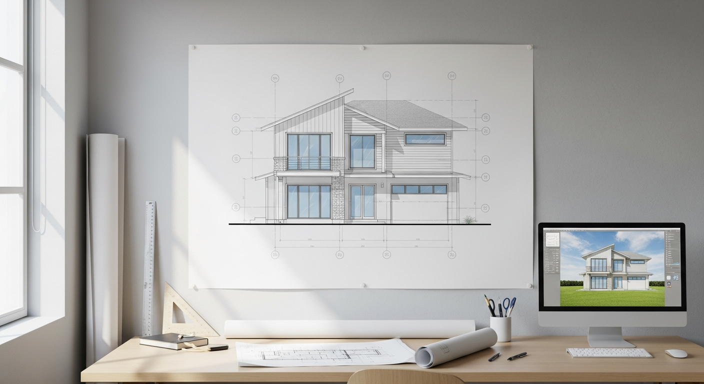
Typical building situations and the density they usually need
While every site is different, a practical way to think about point cloud density is by building condition and intended use rather than by abstract scanner specs alone.
Open interior spaces
Open offices, retail floors, classrooms, and many residential interiors often do not require very high density for measured floor plans. Walls, doors, windows, stairs, and major built-in elements are usually the priority. In these spaces, proper coverage and clean registration often matter more than capturing every surface at the highest possible setting.
Occupied renovations
Tenant improvements in California frequently happen in occupied or partially occupied spaces. Furniture, shelving, merchandise, and temporary partitions can block sightlines. Here, moderate density with more scan positions may be smarter than fewer high-density setups. The data becomes more useful because fewer critical areas are hidden.
MEP rooms and industrial interiors
Boiler rooms, mechanical penthouses, electrical rooms, and utility spaces usually benefit from more detailed capture. Not because high density is always mandatory, but because the geometry is layered and congested. Pipes overlap. Ducts cross above cable trays. Equipment access clearances matter. In these spaces, dense data plus thoughtful scan location planning is often the right combination.
Exterior facades and rooflines
Exterior scanning can require different strategies depending on setbacks, vegetation, parked cars, and line-of-sight limitations. A simple facade for elevation drafting may not need extreme density, while ornate historic detailing, irregular cladding, or fabrication work may justify more. Roof measurement may also involve a different capture method entirely.
Historic and irregular structures
Older California buildings rarely behave like clean textbook geometry. Floors slope. Walls bow. Openings vary. Decorative trim, plaster conditions, and nonstandard framing can all increase the value of denser reality capture. The key question is whether those irregularities must be modeled, dimensioned, or simply understood qualitatively.
What RFP writers should specify instead of asking for “high density”
If you are drafting an RFP, one of the best things you can do is avoid vague language. “Provide a high-density point cloud” sounds demanding, but it leaves too much open to interpretation. A better RFP defines what must be captured, what the data will support, and what outputs are expected.
Instead of focusing only on scanner settings, specify items such as:
- Areas to be documented, including exclusions
- Primary deliverables: registered point cloud, 2D CAD, 3D model, elevations, sections, reflected ceiling plans, roof plan, site context
- Intended use: permit set, design basis, clash review, archival record, fabrication support
- Critical elements to capture: MEP systems, structural members, facade details, equipment pads, stair geometry, accessible paths
- Required file formats
- Field constraints: occupied hours, access windows, security protocols, union requirements, lift access, roof access
- QA expectations and revision process
This approach gives bidders room to choose an efficient scanning strategy while still protecting your needs. It also makes proposal comparisons fairer because each team is responding to the same scope definition rather than marketing language.
For buyers building a broader understanding of methods, this complete guide to 3D laser scanning for buildings helps frame where density fits within the larger workflow.
Field conditions that change the density you actually need
Even a well-written scope can shift once the field team sees the site. Point cloud density should always be considered alongside actual conditions on the ground.
- Distance to target surfaces: surfaces farther from the scanner usually have wider point spacing, so large atriums, tall lobbies, and exterior elevations may need additional setups.
- Obstructions: shelving, furniture, parked vehicles, vegetation, and active occupants can hide geometry.
- Surface reflectivity and material behavior: glass, mirrors, shiny metal, and dark surfaces can complicate capture and interpretation.
- Tight spaces: above-ceiling voids, crawlspaces, and service chases often need closer or supplemental capture methods.
- Project pace: when site access is limited to short windows, efficiency matters; overspecifying density may reduce practical coverage.
In real projects, these factors often matter more than the nominal spec line in a scanner brochure. Good field judgment is what turns 3D laser scanning into useful reality capture rather than just a large dataset.

When lower density is enough for as-builts
Lower or moderate point cloud density is often enough when the goal is to create dependable building documentation rather than a visually rich digital twin. That includes many homes, apartments, offices, restaurants, and small commercial suites where the main deliverables are floor plans, exterior elevations, and sections needed for design or permit preparation.
For this type of work, what usually matters most is:
- Complete room-to-room coverage
- Reliable dimensions for openings, wall runs, and major fixed elements
- Clean representation of stairs and level changes
- Verification of overall building extents
- A drafting team that understands how to interpret field data into permit-ready CAD
That is why many clients do not actually need a scan vendor selling raw density. They need a dependable as-built process. FastAsBuilt provides field-measured as-built drawings and measured floor plans across California, with local crews serving Southern California, the Bay Area, and San Diego. Our 2D As-Built Plans start at $900 for up to 1,500 square feet, then $0.50 per square foot, include one revision, and are typically delivered in 48 to 72 hours. Custom projects such as commercial spaces, ADUs, SB 9 projects, and tenant improvements are quoted individually.
Turnaround times are estimates and may vary based on project complexity and scheduling.
If your end goal is documentation rather than pure scan data, it can help to review what as-built drawings are and how they differ from raw capture files alone.
When higher density is worth the extra effort
Higher point cloud density is usually justified when smaller features directly affect design, fabrication, coordination, or preservation. In those cases, the additional data can reduce risk later.
Examples include:
- Historic buildings where decorative elements or nonuniform surfaces need to be documented closely
- Mechanical rooms where routing changes depend on tight existing clearances
- Structural retrofits where connection zones must be understood precisely
- Complex facades where irregular conditions drive detailing
- Projects that require a 3D model as a primary deliverable, not just 2D plans
FastAsBuilt’s 3D As-Built Plans start at $1,500, then $1.00 per square foot, and include a 3D model plus 2D floor plans, elevations, and sections, with two revisions and typical delivery in 3 to 5 business days. That kind of package is often appropriate when the project team needs both geometry and model-based understanding of the space.
Still, even in these cases, the best answer is not automatically “maximum density everywhere.” It is often more efficient to use greater detail selectively in high-value zones while keeping the overall building at a practical level.
How to choose the right density before you hire a scanner
The simplest decision framework is to identify the smallest important thing you must trust in the final deliverable. That might be a doorway width, a stair run, a duct crossing, a facade profile, or an equipment clearance. Once that is clear, the capture approach can be scaled to match.
Before hiring a scanning team, ask:
- What will be produced from the data?
- Who will use it next: architect, engineer, contractor, owner, facilities team?
- Which spaces are most complex?
- Are there hidden or obstructed areas that need special access?
- Do you need raw point cloud files, drafted plans, a 3D model, or all three?
- What is the schedule for fieldwork and delivery?
If the answer is mainly permit-ready documentation, a targeted as-built scope is often more economical than requesting a very dense point cloud without a clear downstream purpose. If the answer is ongoing design coordination or a complex adaptive reuse effort, then more robust 3D laser scanning and reality capture may be justified.
Frequently asked questions
Is there a single ideal point cloud density for all buildings?
No. The right point cloud density depends on the building, the level of detail required, the field conditions, and the final deliverable. Open interiors for floor plans usually need less density than congested MEP rooms, historic facades, or fabrication-driven work.
Does higher density mean higher accuracy?
Not necessarily. Density and accuracy are different. A denser cloud has more points, but the overall result still depends on field control, scan registration, line of sight, and quality assurance. A moderate-density scan can outperform a denser scan if the workflow is better planned and checked.
For permit drawings, should an RFP require a dense point cloud?
Usually it is better to specify the permit deliverables and required areas of documentation rather than demanding “dense” scanning. Many permit projects need complete and reliable geometry more than extreme data volume. Always confirm local jurisdiction expectations for submittal content.
Can reality capture replace traditional drafting judgment?
No. Reality capture provides measured site data, but someone still has to interpret that data into usable drawings or models. For permit-ready as-builts, drafting experience matters because the team must convert field conditions into clear CAD documentation that others can design from.
How do you know if you are overspecifying point cloud density?
You may be overspecifying if the data requirement is driven by scanner marketing rather than project need, if file sizes become difficult to use, or if the team cannot explain what small features the extra density is meant to capture. If nobody can identify a design or coordination benefit, a lighter scope may be enough.
Start with accurate as-builts
Order field-measured 2D or 3D as-built drawings and let a local crew handle the measuring and drafting.
Get instant pricingBottom line
The right point cloud density is the one that supports your actual decisions, drawings, and coordination without wasting time or budget. For many California as-built projects, that means prioritizing complete coverage, reliable measurement, and experienced drafting over maximum raw data. When the job involves complex systems, historic detail, or 3D coordination, higher density can make sense—but only when it serves a clear purpose. FastAsBuilt helps clients match field measurement and deliverables to the real scope, whether you need a measured floor plan, permit-ready CAD, or a fuller 3D as-built package.