
When people ask how long scan processing takes, they are usually asking about more than one step. In practice, point cloud processing time includes transferring field data, registering scans, cleaning noise, organizing files, building usable geometry, checking accuracy, and exporting final deliverables. For owners, architects, engineers, and contractors, the real question is often: when will the scan turn into plans or a model that your team can actually use?
For California projects, that answer depends on building size, site conditions, required accuracy, and what you need at the end—raw point clouds, 2D plans, or a full 3D model. FastAsBuilt focuses on field-measured as-built drawings and measured floor plans across California, using on-site laser measurement and senior drafters to produce permit-ready CAD files in PDF and DWG. If you are comparing methods, it also helps to understand how 3D laser scanning works for as-builts and where processing fits into the full workflow.
What “scan processing” actually includes
Point cloud processing time is not one single task. It is a chain of technical steps that starts after field capture and ends when the data is reliable enough to support drafting, design, or documentation. That is why two projects with the same square footage can have very different timelines.
Typical processing work includes:
- Downloading and backing up field data
- Registering multiple scans into one coordinate system
- Checking alignment quality and resolving mis-registrations
- Removing stray points, moving objects, and obvious noise
- Clipping and organizing the cloud by level, area, or discipline
- Applying control or orientation if the project needs it
- Extracting geometry for plans, elevations, sections, or models
- Performing quality control before final delivery
If you are new to the term, a point cloud is the dense collection of measured points that represents surfaces in the real world. A helpful background article is what a point cloud is in as-built drawings. The important planning takeaway is that processing does not stop when the scanner leaves the site.

The short answer: typical timelines by project type
For a small, straightforward interior scan, initial registration and basic cleanup may be done the same day or next day. For a larger building, a multi-floor commercial site, or a property with difficult conditions, processing can take several days before drafting even begins. If the end product is a usable BIM-style model or a coordinated drawing set, the timeline gets longer because modeling and QA often take more time than the initial registration.
As a practical guide, many scan projects break down like this:
- Small residential interiors: often 1-2 days for registration, cleanup, and setup for drafting
- Mid-size homes and light commercial spaces: often 2-4 days depending on scan count and complexity
- Larger commercial or multi-level properties: often several days to a week or more for processing before extensive modeling
- Detailed 3D deliverables: additional time for extracting walls, openings, elevations, roof form, sections, and model QA
That does not mean the final client delivery always waits for every possible processing step. On some jobs, teams can begin drafting after the registration is stable and the cloud is organized. On others, especially where tolerances matter, it is smarter to complete a deeper review first. If you are writing an RFP, ask the vendor to separate field time, point cloud processing time, and drafting or modeling time so you can compare proposals fairly.
Why registration often determines the schedule
Registration is the process of aligning many scans into one coherent dataset. This is usually the first major checkpoint after fieldwork, and it often sets the pace for everything that follows. If registration is smooth, the cloud becomes usable quickly. If the data has weak overlap, repetitive geometry, reflective surfaces, or moving objects, processing slows down.
Registration can be affected by:
- The number of scan positions
- How much overlap exists between setups
- Long corridors or repetitive rooms that look too similar
- Glass, mirrors, polished metal, and exterior reflections
- People, vehicles, or equipment moving through the scene
- Whether the project includes multiple levels, roofs, or exterior tie-ins
This is one reason field planning matters so much. A well-executed capture reduces downstream processing time. If you are comparing hardware or methods, topics like terrestrial vs. mobile laser scanning and what SLAM scanning is can help explain why some datasets process faster but may need different QA approaches.
Site complexity matters as much as square footage
Square footage is useful, but it is not enough to predict point cloud processing time. A clean 4,000-square-foot open office may process faster than a 1,600-square-foot house with tight closets, sloped ceilings, attic access, stair turns, and a cluttered garage. Complexity drives labor because the data needs more interpretation and more checking.
Common complexity factors include:
- Irregular floor plans and non-orthogonal walls
- Vaulted ceilings, soffits, and exposed structure
- Dense MEP systems above ceilings or in utility rooms
- Exterior conditions with landscaping, fences, and grade changes
- Occupied spaces with furniture and stored materials blocking surfaces
- Historic structures with uneven geometry and out-of-plumb elements
Reality capture can record all of this, but converting dense data into dependable deliverables takes time. If your project only needs a basic floor plan, processing can stay relatively focused. If you need reflected ceiling plans, detailed elevations, or sections through complex conditions, the same raw scan can require much more office work. For a broader overview, see what reality capture means in construction.
Need accurate as-built plans?
FastAsBuilt sends a local crew to laser-measure your property and delivers permit-ready 2D or 3D drawings, starting at $900.
See 2D & 3D pricingDeliverables change the timeline more than many clients expect
The fastest possible processing path is usually a cleaned and registered point cloud delivered in an agreed format. The timeline gets longer when the cloud must be turned into drawings or a model that design teams can use directly. This is where many expectations drift, especially if someone assumes that scanning instantly produces CAD.
In reality, there are different levels of output:
- Registered point cloud only: fastest post-field deliverable
- 2D floor plans: requires interpretation of walls, doors, windows, stairs, and key dimensions
- Elevations and sections: adds extraction and coordination work
- 3D model: requires modeling decisions, object categorization, and more extensive QA
FastAsBuilt’s core service is measured as-built documentation across California. For 2D As-Built Plans, pricing starts at $900 for up to 1,500 square feet, then $0.50 per square foot, with 1 revision and a typical 48-72 hour delivery. For 3D As-Built Plans, pricing starts at $1,500, then $1.00 per square foot, and includes a 3D model plus 2D floor plans, elevations, and sections, with 2 revisions and a typical 3-5 business day delivery. Custom commercial, ADU, SB 9, and tenant improvement projects are quoted individually. You can compare options on the packages page.
Turnaround times are estimates and may vary based on project complexity and scheduling.
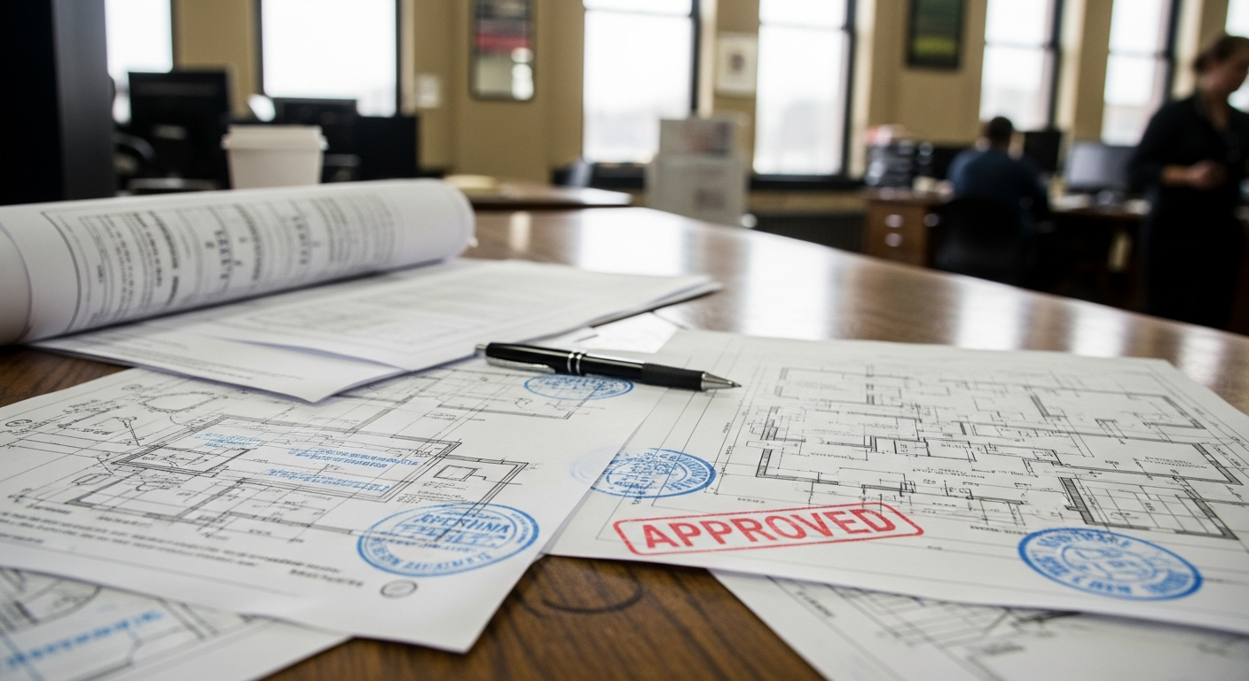
The key point is simple: the more interpretation the deliverable requires, the longer processing and production usually take.
Data cleanup is usually smaller than modeling, but still important
Clients sometimes imagine scan processing as mostly “cleanup.” In fact, cleanup is only one part of the workflow. It matters because it improves usability, but it is not normally the biggest time driver unless site conditions are poor. Most experienced teams remove obvious stray points, isolate the relevant areas, and organize the cloud so drafters can work efficiently.
Cleanup may involve:
- Deleting duplicate or stray points
- Reducing moving people or vehicles in the dataset
- Trimming neighboring buildings or street context not needed for scope
- Separating floors, wings, or exterior areas into manageable files
- Flagging uncertain areas for manual review
On a clean interior, this step can be fairly quick. On exterior sites, mixed-use properties, or active commercial spaces, cleanup can be much more involved. But even then, the larger schedule impact often comes afterward when senior drafters convert the cloud into accurate geometry and permit-ready documents.
Accuracy requirements can add review cycles
Higher accuracy expectations do not always mean much longer field time, but they often mean more careful processing and more internal review. If a project will support design decisions, permit sets, renovation coordination, or contractor pricing, the team may spend extra time validating alignment and checking dimensions against the source data.
This matters on California projects where existing conditions often affect permitting and code compliance. Renovations, ADUs, tenant improvements, and SB 9 lot development work all depend on dependable existing plans. The legal and code pathway will vary by city or county, so you should confirm local requirements with the jurisdiction, but the practical issue is consistent everywhere: unreliable base drawings can slow the whole project.
Accuracy review commonly includes:
- Spot-checking dimensions across representative areas
- Confirming wall placement at corners and openings
- Reviewing stairs, ceiling changes, and structural offsets
- Comparing extracted geometry to photographic or field notes where needed
- Checking that exported files match the requested scope and units
If you are deciding between methods, it may help to read about laser scanning vs. tape measuring for as-builts. The field capture may be faster and more comprehensive with scanning, but good office processing remains essential.
Large files, mixed capture methods, and coordination can slow things down
Another reason point cloud processing time varies is that not every project uses one simple dataset. Some jobs combine terrestrial scans, mobile scans, drone imagery, Matterport-style walkthrough data, photographs, and manual field notes. That can be useful, but it adds coordination work and raises questions about what source controls the final geometry.
Projects may take longer to process when they include:
- Very large raw datasets that need file management and segmentation
- Separate interior and exterior capture workflows
- Roof data gathered by other methods
- Legacy drawings that need comparison to current conditions
- Multiple stakeholders reviewing naming, layers, or model structure
Mixed methods are not a problem by themselves. They just need a clear plan. For example, a team might use scanning for interiors, conventional measurement for inaccessible areas, and other documented sources for roof or site context. If you are evaluating alternatives, articles on laser scanning vs. photogrammetry or whether you can make a floor plan from a Matterport scan can help set expectations about processing and output quality.

How to estimate processing time in an RFP or proposal review
If you are preparing an RFP, one of the best ways to avoid confusion is to ask for separate durations for capture, point cloud processing, drafting or modeling, and final QA. Many schedule disputes happen because these stages are bundled together and described too broadly.
A clear request should ask:
- What capture method will be used?
- How many field days are assumed?
- How long is registration and cleanup expected to take?
- What deliverables are included: cloud only, 2D plans, elevations, sections, 3D model?
- What file formats will be delivered?
- How many revisions are included?
- What assumptions could extend the schedule?
It also helps to define priorities. If speed matters more than a fully modeled deliverable, say so. If your team only needs an existing floor plan to start layout options, the vendor can often phase the work so basic outputs arrive before every optional detail is complete. FastAsBuilt regularly supports California property owners, architects, and contractors who need measured plans quickly without losing sight of permit readiness.
How FastAsBuilt approaches turnaround in California
FastAsBuilt serves Southern California, the Bay Area, and San Diego with local crews. The workflow is straightforward: on-site laser measurement is followed by production from senior drafters, who prepare permit-ready CAD files in PDF and DWG. That combination matters because efficient field capture only delivers value when the office team can translate it into clean, usable documents.
For many clients, the important distinction is between data and decisions. Raw reality capture records conditions, but senior drafting determines how those conditions appear in a plan set or model. That is why processing time should be evaluated together with the final output standard, not just the scanner brand or the number of scan positions.
If your project is residential and your scope is clear, scheduling can be relatively predictable. If your property is commercial, includes phased tenant improvements, or needs custom scope for ADUs or SB 9 work, the right timeline is usually determined after reviewing access, complexity, and deliverables. If you are ready to move forward, you can request service through the order page.
Frequently asked questions
Is point cloud processing time the same as scanning time?
No. Scanning time is the field capture portion on site. Point cloud processing time starts after the data is collected and includes registration, cleanup, organization, extraction, and QA. On many projects, office processing takes as long as or longer than field capture, especially when the final deliverable is a drawing set or 3D model.
Can a registered point cloud be delivered before the final drawings?
Yes, on some projects that is a practical phased approach. Once the scans are registered and reviewed for basic usability, the cloud can sometimes be shared while drafting continues. Whether that makes sense depends on the scope, file requirements, and how much cleanup or QA is needed before release.
What usually delays scan processing the most?
The most common causes are difficult registration, complex geometry, obstructed spaces, mixed datasets, and high-detail deliverables. The drawing or modeling scope often affects the schedule more than clients expect. A small project with unusual conditions can take longer to process than a bigger but simpler one.
Does a 3D laser scanning workflow always save time overall?
Often yes, especially when compared with manual measurement on larger or more complex properties, but not because processing is automatic. The time savings usually come from capturing more complete existing conditions in the field and reducing return visits. You still need disciplined office processing to turn the scan into useful as-built documentation.
How should California project teams plan around turnaround?
Ask for a schedule that separates field capture, point cloud processing, and final deliverables. Confirm whether your city or county will need specific existing-condition information for permits, especially on ADUs, tenant improvements, and similar renovation work. Local requirements vary, so confirm details with the jurisdiction early and make sure your consultant’s scope matches that need.
Start with accurate as-builts
Order field-measured 2D or 3D as-built drawings and let a local crew handle the measuring and drafting.
Get instant pricingBottom line
Point cloud processing time depends on the amount of data collected, how hard the scans are to register, how complex the building is, what accuracy standard is needed, and what final deliverables you expect. For many California projects, the fastest path is not just better scanning—it is a clear scope, good field planning, and experienced drafters who can turn reality capture into reliable plans or models on schedule.