
If you are researching point cloud file size, you are usually trying to answer a practical question: how much data will this job create, and what will that mean for storage, sharing, review, and downstream drafting? In construction, architecture, and facility documentation, point clouds can range from manageable project files to very large datasets that need a deliberate workflow.
The short answer is that point cloud size depends less on the building’s square footage alone and more on how the site is captured, how dense the data is, whether color imagery is included, how many scan positions are needed, and what final deliverables you actually need. For California owners, architects, and contractors planning as-builts, it helps to understand these tradeoffs before requesting point cloud deliverables or writing a scope for 3d laser scanning.
Why point cloud file size varies so much
A point cloud is a digital collection of measured points in 3D space. Each point stores location data, and sometimes additional information such as color, intensity, classification, or normals. Because every point adds data, file size increases quickly when a scan captures more surfaces, more detail, or more attributes.
That is why there is no single “normal” point cloud file size. A simple interior scan for a small tenant space may be modest, while a campus, hospital, industrial site, or multi-story mixed-use building can generate a much larger dataset. Even two projects with the same square footage can have very different file sizes if one has cluttered interiors, exposed structure, MEP congestion, or exterior facade requirements.
- Scan density or resolution
- Number of scan positions or trajectories
- Interior only versus interior plus exterior
- RGB color imagery or grayscale/intensity only
- Mobile scanning versus static terrestrial scanning
- Raw files versus registered, cleaned, or decimated exports
- Export format and compression settings
- Whether the project includes photos, meshes, or models in addition to the cloud
If you are new to the workflow, it helps to first understand how 3d laser scanning works for as-builts, because the capture process directly affects how much data is created.

The biggest drivers of point cloud file size
When teams talk about file size, they often focus on square feet because that is easy to picture. In reality, square footage is only one variable. The stronger drivers are data density, attributes, and project complexity.
Scan density
Higher density means more points on every surface. That can be useful when you need tighter geometric detail for structural steel, MEP coordination, ornate historic conditions, or irregular existing construction. It also increases file size quickly. If your true need is permit-ready floor plans, elevations, and sections, extremely dense data may not provide meaningful value.
Number of setups
Static terrestrial scanning often uses many scan positions to see around walls, furniture, equipment, and corners. More setups usually mean more overlapping data and a larger registered project. Buildings with many rooms and visual obstructions often require more setups than open warehouses.
Color and imagery
Some point clouds include RGB color mapped from photos. This is useful for interpretation and visual review, but it adds data. If your team mainly needs geometry for drafting, color may be helpful rather than essential. If your team needs material identification or clearer visual context, the extra size may be justified.
Scope of capture
A basic interior-only job produces less data than a full site with facades, roofs, parking, landscape edges, retaining walls, and adjacent conditions. In California, scope often expands because permit sets may need exterior access paths, utility relationships, or site constraints documented along with the building interior.
Processing choices
Raw scan data is not always the same as the files eventually shared with the client. Registration, cleaning, clipping, decimation, and export settings can reduce the size of working files without losing the detail needed for drafting. That is one reason many owners do not actually need every raw file if the main goal is accurate as-built documentation.
For teams comparing methods, terrestrial vs. mobile laser scanning is an important distinction because the scanning approach affects both accuracy strategy and total data volume.
Need accurate as-built plans?
FastAsBuilt sends a local crew to laser-measure your property and delivers permit-ready 2D or 3D drawings, starting at $900.
See 2D & 3D pricingCommon file types and why they do not all weigh the same
Not all point cloud files represent data in the same way. Two exports of the same building can vary noticeably in size depending on format, indexing, compression, and whether they are optimized for viewing software or broad interoperability.
Some formats are designed as exchange files, while others are native or optimized formats for a specific platform. Some preserve more metadata. Some use stronger compression. Some are easier to stream and review, while others are better for long-term archiving or import into CAD and BIM tools.
- Raw scanner-native project files can be large and may include imagery, setup data, and registration information.
- Registered point cloud exports may be smaller or larger depending on how they are packaged.
- Indexed viewing formats may improve usability but still require substantial storage.
- Decimated or clipped files can reduce size for consultants who only need a portion of the site.
- Point cloud plus mesh, panoramic photos, or model outputs can expand the total project package significantly.
This is also why an RFP should define deliverables clearly. If you ask for “all scan files,” that may mean something very different from asking for a registered point cloud limited to the project area and final CAD drawings. If the scope includes Matterport-style outputs, it is worth understanding what a MatterPak file is and how it differs from other reality capture deliverables.
How scan method changes storage needs
Different reality capture methods produce different data patterns. A static terrestrial scanner typically captures from fixed positions, often with high precision and strong geometric control. A mobile or SLAM-based workflow captures continuously as the operator walks. Drone-based methods can add large image sets and photogrammetry products for roofs or site exteriors.
Each approach influences point cloud file size in a different way:
- Static terrestrial scanning may generate many high-detail setups with rich overlap.
- Mobile scanning may produce efficient coverage over large areas, but the project can still become large depending on trajectory length and density settings.
- Drone workflows often involve both imagery and derived 3D products, which can expand total data storage beyond the cloud itself.
- Hybrid workflows can create the largest overall package because they combine multiple capture types.
This matters when planning a California project with multiple disciplines. A roof consultant may need a different dataset than an architect documenting tenant improvements, and a civil or solar team may want broader site context. If the site includes difficult roof conditions, teams sometimes compare scanner and aerial options alongside drone roof measurement workflows.
For large or complicated buildings, it is often smarter to define who needs what instead of assuming everyone must receive one giant master file.
Small building, big file: why square footage can be misleading
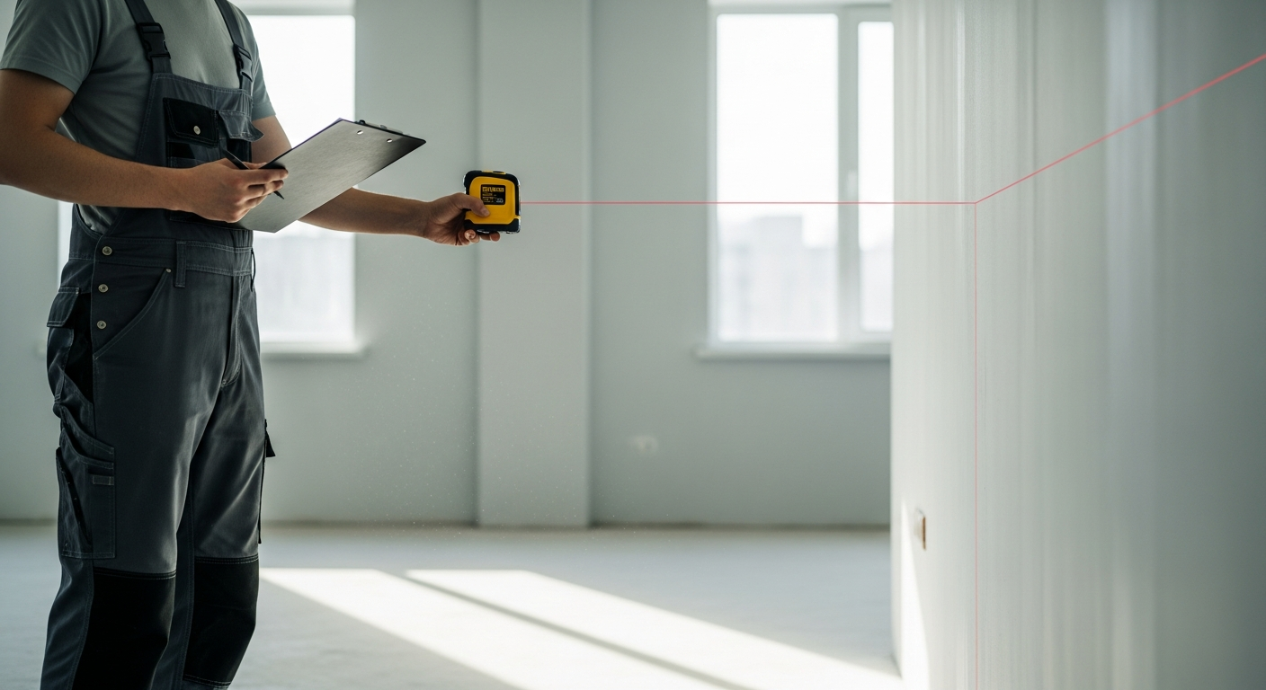
One of the most common misunderstandings is assuming that point cloud file size scales neatly with area. In practice, a small building can create a large point cloud if it has dense equipment, highly partitioned rooms, above-ceiling congestion, decorative details, or multiple floors with limited line of sight.
Consider a few examples:
- A compact restaurant with booths, soffits, kitchen equipment, and many corners may require many scan positions.
- A small historic home with trim, irregular framing, and sloped ceilings may need higher detail for documentation.
- A medical suite with numerous exam rooms and overhead systems may produce more data than a larger open office.
- An industrial mezzanine with pipe racks and structural complexity can grow quickly in point count.
By contrast, an open warehouse with simple geometry may cover a large footprint more efficiently. That does not mean the warehouse data is small, only that complexity often matters as much as area. This is why some clients first ask how much area a laser scanner can capture and then realize the better question is how much usable detail the project really requires.
Raw data versus usable deliverables
For many owners and design teams, the practical issue is not just the size of the point cloud but whether they need the point cloud at all. FastAsBuilt’s core service is field-measured as-built drawings and measured floor plans across California. Our crews capture site measurements with laser tools on site, then senior drafters produce permit-ready CAD files in PDF and DWG formats.
That means your final package may be much easier to store and use than a full reality capture dataset. In many renovation, ADU, SB 9, or tenant improvement projects, the main objective is a dependable existing-conditions drawing set rather than a large 3D dataset for in-house modeling.
- 2D As-Built Plans start at $900 for up to 1,500 square feet, then $0.50 per square foot.
- They include one revision and are typically delivered in 48–72 hours. Turnaround times are estimates and may vary based on project complexity and scheduling.
- 3D As-Built Plans start at $1,500, then $1.00 per square foot.
- They include a 3D model plus 2D floor plans, elevations, and sections, with two revisions and typical delivery in 3–5 business days. Turnaround times are estimates and may vary based on project complexity and scheduling.
- Custom commercial and specialty scopes are quoted individually.
For many California permit paths, that is the more useful decision point: what do your architect, engineer, or jurisdiction actually need? If you mainly need permit-ready documentation, a streamlined drawing package may be more valuable than managing very large cloud files. You can review options or start a project at /order.
What point cloud size means for sharing and collaboration
Even when storage is affordable, large files can create friction in everyday project work. Upload time, download speed, consultant access, software compatibility, and version control all become more important as file size grows. A point cloud that is technically complete can still be inconvenient if the team cannot open it easily or only needs a small area.
Common collaboration issues include:
- Email is usually not practical for large clouds.
- Cloud storage links may be slow for remote users with limited bandwidth.
- Some consultants may not have the software or hardware to work with large point clouds smoothly.
- Large datasets can be cumbersome to archive and re-share months later.
- Teams may duplicate giant files unnecessarily when a clipped export would do.
Good planning helps. A project can be packaged by floor, building wing, discipline area, or interior versus exterior scope. Naming conventions, export notes, and a clear list of authoritative files can prevent confusion later. If your project goal is drafting rather than cloud review, asking for the right final deliverables from the start can save time and storage.
For teams learning the broader workflow, reality capture in construction is best understood as a process, not just a file type. The cloud is only one part of that process.

How to scope a project without overpaying for unnecessary data
If your RFP or consultant brief simply says “provide point cloud,” you may get more data than you need—or not enough. Better scoping usually starts with intended use. Are you documenting existing conditions for permit drawings? Coordinating MEP? Modeling a facade? Checking structural irregularities? Measuring roof geometry? Planning prefabrication?
Useful scoping questions include:
- Who will use the data after capture?
- Do they need raw scan files, a registered point cloud, CAD drawings, a BIM model, or all of the above?
- What level of detail is actually necessary?
- Do you need colorized data?
- Does the entire site need to be captured, or only certain rooms, roofs, facades, or utility areas?
- Will consultants need clipped exports by discipline?
- What is the final permit or construction purpose?
In California, this is especially important when projects move toward permits, conversions, additions, or code-driven upgrades. Local jurisdictions may ask for clear existing-condition drawings more often than they ask for a point cloud itself. If your project relates to ADUs, SB 9, tenant improvements, or similar work, it is wise to confirm submittal expectations directly with the city or county before paying for more reality capture than the review path requires.
FastAsBuilt often helps clients avoid unnecessary complexity by focusing on the final deliverable first. If the outcome is a clean existing floor plan, reflected ceiling information, elevations, and sections, that goal should shape the field workflow and drafting package.
When a larger point cloud is worth it
Large point clouds are not inherently a problem. In some projects, they are exactly the right tool. The key is matching data volume to project value.
A bigger dataset is often justified when:
- You need highly detailed existing geometry for complex renovation or adaptive reuse.
- The site has dense MEP systems or structural conditions that must be modeled carefully.
- There are historic or irregular surfaces that are hard to document with simpler methods.
- Multiple disciplines will reuse the same reality capture dataset over time.
- The cost of missing field conditions would be much higher than the cost of managing more data.
On the other hand, if the project is straightforward and the true need is permit-ready plans, a full-scale point cloud workflow may not be the most efficient path. Many teams are best served by measured as-builts that convert field conditions into organized CAD drawings quickly.
If you are comparing methods for an existing building package, it can help to review laser scanning versus tape measuring for as-builts and decide whether your project needs full 3D capture, targeted laser measurement, or a hybrid approach.
Frequently asked questions
How big are point cloud files for a typical building?
There is no single standard size. A typical building scan can range from relatively manageable to very large depending on scan density, number of setups, color imagery, interior versus exterior scope, and export format. A simple office suite may be much lighter than a smaller but more complex medical, industrial, or historic space.
Does higher accuracy always mean a larger point cloud file size?
Not always, but it often leads to more data because teams may use denser capture settings or more scan positions to support higher-confidence geometry. Accuracy strategy also depends on the equipment and workflow. In practice, the right question is whether the added detail supports your actual use case, such as fabrication, BIM coordination, or precise renovation modeling.
Can point clouds be reduced in size after scanning?
Yes. Teams can often clip the project area, decimate the cloud, remove unnecessary overlap, separate files by floor or discipline, and export in a more efficient format. The goal is to reduce size without discarding information needed for design, review, or drafting.
Do cities in California require point cloud files for permits?
Usually, jurisdictions care more about the submitted drawings and supporting documentation than the point cloud itself. Existing-condition plans, elevations, sections, and other permit-ready drawings are often the key deliverables. Requirements vary by city and county, so you should confirm expectations with the local jurisdiction for your project type.
Should you order point clouds or as-built drawings?
That depends on your end use. If your team needs to perform its own modeling or ongoing digital analysis, a point cloud may be valuable. If your main need is a reliable drawing set for design or permit work, as-built drawings may be more practical. FastAsBuilt provides field-measured as-built drawings and measured floor plans across California, with 2D and 3D packages depending on your scope.
Start with accurate as-builts
Order field-measured 2D or 3D as-built drawings and let a local crew handle the measuring and drafting.
Get instant pricingBottom line
Point cloud file size is driven by capture method, density, attributes, complexity, and deliverable choices—not just square footage. The best approach is to define what your team actually needs, avoid oversized datasets that add little value, and align capture with the final outcome. For many California projects, that means turning field measurements into clean, permit-ready CAD files rather than handing off more data than anyone will use.