
Building facade scanning helps architects document existing exterior conditions without relying on incomplete record drawings, rough tape measurements, or repeated site visits. When you need dependable dimensions for renovations, envelope upgrades, historic preservation, tenant improvements, or coordination with structural and MEP teams, a scanned facade can give you a much clearer starting point.
For California projects, that clarity matters. Exterior work often involves tight urban sites, older buildings with undocumented changes, seismic or accessibility upgrades, and jurisdiction-specific permit requirements. Building facade scanning uses 3D laser scanning and related reality capture methods to record the shape, openings, offsets, rooflines, and visible surface conditions of a structure so your design team can work from measured existing conditions instead of assumptions.
What building facade scanning actually means
Building facade scanning is the process of digitally capturing the exterior face of a building as measured geometry. In practice, a scanner is set up at multiple locations around the site to collect millions of points on walls, windows, doors, parapets, cornices, roof edges, balconies, canopies, and other visible elements. Those points are then registered together into a coordinated dataset that your design team can use to extract dimensions, align drawings, and build accurate exterior backgrounds.
The result is usually more than a pretty 3D image. For architects, the real value is in turning captured data into usable deliverables such as:
- 2D facade elevations with measured openings and major features
- Sections through exterior assemblies or projecting elements
- 3D models used for design, coordination, and visualization
- Point clouds for direct use in CAD or BIM workflows
- Permit-ready base drawings for renovation documentation
If your team is new to scanning, it helps to understand how 3D laser scanning works for as-builts before you prepare an RFP or compare vendors.

Why architects use facade scans instead of traditional field verification
Traditional field measurement still has a role, especially for small and simple buildings. But facade work becomes harder when elevations are tall, irregular, partially obstructed, or filled with non-repeating details. Exterior conditions also create safety and access issues that can make manual measurement slow and inconsistent.
Architects usually choose building facade scanning when they need a faster and more defensible way to document:
- Multi-story exterior geometry
- Window and door locations across long elevations
- Changes between original construction and later remodels
- Historic ornament or non-orthogonal surfaces
- Facade alignment relative to adjacent buildings, grades, or site features
- Existing conditions for recladding, overcladding, waterproofing, or energy upgrades
Scanning also reduces the number of return visits. Instead of discovering a missing dimension after design has started, your team can often go back to the captured data to verify conditions. That is especially useful when schedules are tight or site access is limited by tenants, traffic control, neighboring property lines, or active operations.
How 3D laser scanning and reality capture fit into facade documentation
3D laser scanning is one of the main technologies used in facade documentation, but it sits inside the broader category of reality capture. Reality capture includes the tools and workflows used to record existing conditions digitally, then turn that information into drawings, models, and measurable references.
For facade work, reality capture may include:
- Terrestrial laser scanning from the ground
- Mobile scanning in certain site conditions
- Photographic documentation for material and feature reference
- Drone imaging where legal, safe, and project-appropriate
- Traditional targeted field checks for items the scanner cannot fully verify
Not every facade project needs every method. A simple storefront renovation may only require ground-based scans and CAD drafting. A larger campus building with roof setbacks, courtyards, and occluded elevations may need a more layered capture plan. If you want the broader framework, what reality capture means in construction is a useful concept to understand before defining scope.
The main point for architects is this: scanning collects the geometry, but the value comes from a complete process that includes planning, field execution, registration, quality control, drafting, and deliverables matched to the design task.
What information a facade scan can capture well
A well-planned exterior scan can capture a surprising amount of usable information. The strongest use case is measurable geometry of visible conditions. That includes dimensions and relationships that are hard to collect manually from the ground, especially on taller or more articulated buildings.
Typical items that scan well include:
- Overall building width, height, and plane changes
- Window and door openings, sill heights, and head heights
- Parapets, cornices, balconies, awnings, and canopies
- Column spacing, storefront framing patterns, and recesses
- Site grades immediately adjacent to the facade
- Visible roof edges and setback relationships
- Surface irregularities such as bowing, out-of-plumb walls, or uneven planes
That last item matters more than many teams expect. Existing facades are rarely perfectly straight or perfectly square. On adaptive reuse, restoration, and envelope rehabilitation projects, those deviations can affect panel layouts, attachment strategies, sealant details, and prefab assumptions.
When point cloud data is part of the deliverable, your team can interrogate the captured geometry directly. If that term is unfamiliar, this explanation of point clouds in as-built drawings gives a quick overview.
Need accurate as-built plans?
FastAsBuilt sends a local crew to laser-measure your property and delivers permit-ready 2D or 3D drawings, starting at $900.
See 2D & 3D pricingWhat facade scanning does not capture by itself
Building facade scanning is powerful, but it is not magic. A scan records what the sensor can see from the available positions. It does not automatically tell you what is behind cladding, inside a wall assembly, or concealed above a soffit. It also does not replace engineering judgment, destructive investigation, or consultant review where those are needed.
Common limitations include:
- Hidden substrate conditions behind finishes
- Elements blocked by vegetation, parked vehicles, fences, or neighboring buildings
- Interior backup framing not visible from the exterior
- Fine material distress that needs close-up visual inspection
- Highly reflective or transparent surfaces that may scan inconsistently
For that reason, facade scanning is best treated as a measured baseline, not the only source of truth. Architects still need to define what must be field-verified, what requires consultant investigation, and what assumptions are acceptable at each design phase. Good scope language in an RFP should distinguish between documented visible conditions and inferred construction.
This is also why a senior drafting and QA process matters. At FastAsBuilt, the field capture is only part of the workflow. We measure on site with laser equipment, then senior drafters turn the data into permit-ready CAD files in PDF and DWG format for the scope you actually need.
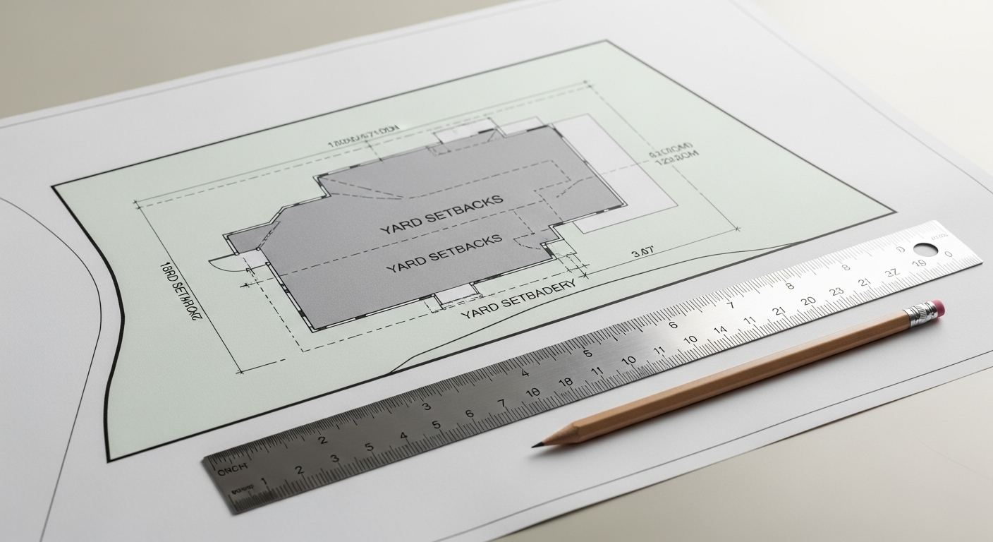
Common facade scanning workflows for architectural projects
Most architectural facade scanning projects follow a similar sequence, even though the field conditions vary. Understanding the workflow helps you ask better questions when comparing proposals and timelines.
1. Define the design use case
Start by identifying what the scan must support. A recladding study needs different outputs than a storefront remodel or historic preservation package. Clarify whether you need simple elevations, a full exterior model, selected sections, roofline capture, or coordination with interior as-builts.
2. Plan site access and capture positions
The scan team reviews access, line-of-sight constraints, traffic conditions, and any limits created by adjacent property, landscaping, or occupancy. Dense urban California sites often need careful planning to avoid occlusions and minimize disruption.
3. Perform on-site scanning
Field crews capture the exterior from multiple positions using laser measurement equipment. Depending on scope, they may also collect contextual images and targeted dimensions to support drafting.
4. Register and process the data
The individual scans are aligned into a single coordinated dataset. Quality control at this stage is critical because even a dense scan is only useful if the data is properly registered and checked.
5. Draft or model the deliverables
The measured data is translated into the output your team uses: 2D CAD elevations, sections, floor plans tied to exterior geometry, or a 3D model package.
6. Review and revise
Architects review the deliverables for scope completeness, notation needs, and project-specific priorities. FastAsBuilt includes 1 revision with 2D as-built plans and 2 revisions with 3D as-built plans.
For many projects, the facade scope is combined with broader existing conditions documentation. If you are planning a full renovation package, it may help to review what as-built drawings include so exterior and interior needs are scoped together.
Choosing the right deliverable: point cloud, 2D elevations, or 3D model
One of the most important decisions is not whether to scan, but what you want at the end. Different teams need different outputs, and overscoping can waste budget while underscoping can create rework.
In general:
- A point cloud is useful when your architects, BIM team, or consultants want to measure and model directly from the captured dataset.
- 2D elevations are useful when the design work is straightforward and the permit set only needs accurate existing exterior backgrounds.
- A 3D model is useful when the facade geometry is irregular, when multiple disciplines must coordinate around the exterior, or when visualization and clash review matter.
FastAsBuilt offers 2D As-Built Plans starting at $900 for up to 1,500 square feet, then $0.50 per square foot, with typical 48–72 hour delivery and 1 revision. For projects that need model-based output, 3D As-Built Plans start at $1,500, then $1.00 per square foot, and include a 3D model plus 2D floor plans, elevations, and sections, with typical 3–5 business day delivery and 2 revisions. Commercial properties, ADUs, SB 9 work, and tenant improvements are quoted individually because scope varies.
Turnaround times are estimates and may vary based on project complexity and scheduling.
If you are comparing options, California as-built drawing costs can help you frame budget expectations. If you already know your project scope, you can also start at our order page.
Accuracy, permit use, and what California architects should confirm
For architects, the practical question is whether building facade scanning is accurate enough for design development, consultant coordination, and permit documentation. In many cases, yes—provided the scope, field conditions, and deliverables are aligned with the project’s needs. Accuracy depends on the equipment, capture plan, registration quality, drafting standards, and the level of detail being extracted.
The more important issue is often not headline accuracy, but scope clarity. For example, are window mullions shown centerline to centerline or face of frame to face of frame? Are sloped grades represented at enough resolution for your accessibility analysis? Are roof edges captured from sufficient visibility to support screen wall details? Those questions affect usefulness as much as raw instrument capability.
California permit workflows also vary by jurisdiction. If your facade work ties into energy compliance, historic review, accessibility upgrades, or structural changes, confirm with the local city or county what level of existing conditions documentation they expect. Exterior scans can support Title 24-related upgrades by documenting existing openings and envelope geometry, but they do not replace energy documentation prepared by the appropriate professionals. On historic properties, scanned geometry can be especially useful for documenting existing character-defining features, but any preservation requirements should be confirmed with the local jurisdiction and applicable review body.
Likewise, if the project relates to an ADU, SB 9 lot development, tenant improvement, or multifamily rehabilitation, use the scan as a strong measured base and verify the code path separately with your design and permitting team. The scan supports better decisions; it does not interpret the law for you.

When facade scanning is especially worth it
Not every project needs advanced capture. But some conditions strongly favor scanning because the cost of design errors, missed dimensions, or repeated site visits is higher than the cost of capturing the facade correctly up front.
Facade scanning is usually worth serious consideration when you have:
- Older buildings with unreliable drawings
- Multi-story elevations that are hard to measure manually
- Complex or ornamental exterior geometry
- Urban sites with difficult access and limited return opportunities
- Envelope repair or recladding where plane variation matters
- Projects with consultant-heavy coordination
- Fast schedules where redesign from missed conditions would be expensive
It is also useful for RFP writers who need to define an existing conditions package clearly. Instead of broadly asking for “site verification,” you can specify whether you need scanned exterior elevations, a point cloud, selective sections, roofline context, or integration with interior measured floor plans. Better scope language usually leads to better proposals.
Some projects also benefit from combining terrestrial scanning with other methods. For example, roof-related scopes may involve additional capture approaches where appropriate. Depending on access and legal constraints, teams may evaluate whether aerial methods help supplement line-of-sight limits, though that should be assessed case by case.
How to write a better facade scanning scope or RFP
If you are preparing an RFP for building facade scanning, the most helpful thing you can do is define the intended use of the data. Scanning proposals vary widely because owners and architects often ask for “a scan” without describing the deliverables or design purpose.
A stronger scope usually identifies:
- Which elevations or buildings are included
- Whether roof edges, adjacent grades, courtyards, or alley conditions are required
- The desired outputs: point cloud, 2D CAD, 3D model, or a combination
- Expected level of detail for openings, ornament, storefronts, and projections
- Whether interior plans need to align with the facade documentation
- Site access restrictions, tenant coordination needs, and working-hour limits
- Format requirements such as PDF and DWG
- Schedule expectations and revision needs
It can also help to ask vendors how they handle occlusions, field QA, and drafting assumptions. If a facade is partly hidden by trees or adjacent structures, you want to know whether the proposal includes alternate capture positions, supplemental verification, or clear notation of incomplete visibility.
Architects comparing technologies may also want to review terrestrial versus mobile laser scanning to better understand how capture methods affect exterior documentation.
Start with accurate as-builts
Order field-measured 2D or 3D as-built drawings and let a local crew handle the measuring and drafting.
Get instant pricingFrequently asked questions
Is building facade scanning the same thing as a full building as-built?
No. A facade scan may focus only on exterior conditions, while a full as-built package can include interior floor plans, reflected ceiling information, elevations, sections, and sometimes a 3D model. Many renovation projects combine both, but the scope should be defined explicitly.
Can facade scanning capture every exterior detail perfectly?
No. It captures visible geometry very well when line of sight is available, but hidden, obstructed, transparent, or highly reflective areas may need supplemental verification. Good proposals identify likely limitations instead of assuming full visibility everywhere.
Do architects usually need a point cloud, or are CAD elevations enough?
It depends on the project. CAD elevations may be enough for simple exterior alterations, especially when the design team mainly needs a permit-ready base drawing. A point cloud or 3D model is more useful when geometry is irregular, when several consultants need direct access to measured data, or when the project will evolve through multiple design phases.
How long does a facade scanning project take?
Timing depends on building size, access, and deliverables. FastAsBuilt’s 2D As-Built Plans typically deliver in 48–72 hours, while 3D As-Built Plans typically deliver in 3–5 business days. Larger commercial and custom projects are quoted individually because field time and drafting effort vary.
Turnaround times are estimates and may vary based on project complexity and scheduling.
Is facade scanning useful for permit work in California?
Yes, often very useful. Accurate existing elevations and related measured drawings can support permit packages for renovations, tenant improvements, exterior alterations, and envelope work. But each jurisdiction may have its own expectations, so confirm required documentation with the local permitting authority and your design consultants.
Bottom line
Building facade scanning gives architects a faster, more reliable way to document existing exterior conditions and move into design with fewer assumptions. When the right capture method is matched to the right deliverable, you get usable geometry for drawings, models, coordination, and permit work—not just data for data’s sake. FastAsBuilt provides field-measured as-built drawings and measured floor plans across California, with local crews serving Los Angeles, Orange County, the Inland Empire, the Bay Area, and San Diego.