
If you are researching scanning deliverables, writing an RFP, or trying to understand how scan data becomes usable drawings, Autodesk ReCap is a name you will see often. In simple terms, Autodesk ReCap is software used to organize, view, clean, and work with reality capture data—most commonly 3D laser scanning data and photo-based site information.
This guide gives you an Autodesk ReCap explained overview in plain English. It covers what ReCap does, where it fits in a 3D laser scanning workflow, what kinds of files it handles, and how it relates to as-built drawings, measured floor plans, and permit sets in California. If you need finished plans rather than raw scan files, FastAsBuilt provides field-measured as-built drawings and measured floor plans across California, with local crews in Los Angeles, Orange County, the Inland Empire, the Bay Area, and San Diego.
What Autodesk ReCap is
Autodesk ReCap is a reality capture platform used to process and review information collected from the existing built environment. The most common input is a laser scanner recording millions of measured points from a building or site. Those points become a point cloud, which can then be viewed, registered, clipped, and shared for design and documentation work.
ReCap is not the laser scanner itself. It is also not, by itself, a permit-ready as-built drawing package. Think of it as a bridge between field capture and the drafting or modeling tools used later. Teams use it to make scan data usable before they create CAD plans, 3D models, elevations, sections, and renovation documents.
When people search for Autodesk ReCap explained, they are usually trying to answer one of these practical questions:
- What software opens and organizes scan data?
- How do separate scanner positions become one coordinated model?
- How do architects and contractors review existing conditions before drafting begins?
- What deliverable should be requested if a project needs drawings instead of raw scan files?
How ReCap fits into a 3D laser scanning workflow
A typical scanning workflow has several stages. First, the field team captures the building or site. Next, the scan data is transferred, processed, and checked. Then the organized data is used to create deliverables such as 2D plans, 3D models, or coordination backgrounds. ReCap usually sits in that middle stage.
In practical terms, a project might look like this:
- On-site capture using terrestrial or mobile scanning equipment.
- Import of the scan data into ReCap or a similar platform.
- Registration of multiple scan positions so they align correctly.
- Review and cleanup of unnecessary data.
- Export or connection to downstream drafting and modeling software.
- Creation of as-built drawings, floor plans, elevations, sections, or BIM content.
If you want a broader overview of the field side first, see how 3D laser scanning works for as-builts. If you are still sorting out terminology, reality capture in construction is the larger category, and ReCap is one of the software tools used inside that process.
What kinds of data Autodesk ReCap works with
At a high level, ReCap works with captured information about real places. The best-known example is point cloud data from 3D laser scanning. A point cloud is a large set of measured points in space that represents surfaces such as walls, floors, ceilings, roofs, stairs, structure, and building systems.
Depending on the workflow, teams may also use photo information for visualization or context. The key idea is that ReCap helps convert raw field capture into something the design and documentation team can inspect and trust.
For many owners and consultants, the challenge is not collecting data but understanding what that data means. Raw scan files are not very helpful if your real need is a dimensioned floor plan, reflected ceiling plan background, or exterior elevation. That is why scope language matters. Asking for “a scan” is different from asking for “registered scan data” or “permit-ready CAD based on verified field measurements.”

What “registration” means and why it matters
One of the most important functions associated with software like ReCap is registration. During field capture, a scanner is set up in many positions because one scan cannot see through walls or around corners. Registration is the process of aligning those separate scan positions into one coordinated dataset.
If registration is done well, the project team can move through the data confidently, check dimensions, and trace existing conditions with less guesswork. If registration is poor, even a large amount of scan data can become hard to trust.
For RFP writers and project managers, this is one reason deliverable language should be precise. It helps to define whether you need:
- Raw field capture only
- Registered point cloud data
- A cleaned and clipped dataset for design use
- 2D CAD drawings produced from verified capture
- A 3D model plus 2D plans, elevations, and sections
If your team is new to point clouds, this primer on what a point cloud is in as-built drawings can help you distinguish the scan dataset from the final documentation package.
What ReCap is useful for on real projects
Autodesk ReCap is commonly useful when a project starts with uncertain existing conditions. That includes remodels, tenant improvements, change-of-use studies, facade work, historic buildings, MEP coordination, roof planning, and spaces with poor legacy drawings. In California, that can also include ADU and SB 9 planning where accurate existing dimensions matter before design moves forward.
Teams use ReCap to review the captured environment before drafting or modeling begins. It can help answer questions like:
- Where do walls, doors, windows, and stairs actually sit in relation to one another?
- Are floors level, or are there noticeable changes in elevation?
- How do exposed structure and overhead systems affect clearance?
- What parts of the existing building need closer field verification?
- Is the available data complete enough for the next design step?
That said, ReCap is a means, not the final business outcome for most property owners. Owners usually need a plan set they can hand to an architect, engineer, city reviewer, or contractor. FastAsBuilt’s workflow is straightforward: on-site laser measurement, then senior drafters produce permit-ready CAD files in PDF and DWG.
Need accurate as-built plans?
FastAsBuilt sends a local crew to laser-measure your property and delivers permit-ready 2D or 3D drawings, starting at $900.
See 2D & 3D pricingReCap versus permit-ready as-built drawings
This distinction is where many projects go off track. ReCap helps manage and review captured conditions, but a building department or consultant team usually does not submit “ReCap” for permits. They submit drawings and, in some cases, models. If your goal is an addition, remodel, ADU, tenant improvement, or code upgrade, you generally need usable documentation rather than software-native scan content alone.
For many California projects, the practical deliverables are:
- 2D as-built floor plans
- Exterior elevations
- Building sections
- Roof plans
- Area calculations
- A 3D model for design coordination when needed
FastAsBuilt offers 2D As-Built Plans starting at $900 for up to 1,500 square feet, then $0.50 per square foot, with one revision and typical 48–72 hour delivery. For projects that need a model plus documentation, 3D As-Built Plans start at $1,500, then $1.00 per square foot, and include a 3D model plus 2D floor plans, elevations, and sections, with two revisions and typical 3–5 business day delivery. Commercial spaces, ADUs, SB 9 work, and tenant improvements are quoted individually. You can review options on our packages page.
Turnaround times are estimates and may vary based on project complexity and scheduling.
If your team is comparing methods, whether 3D scanning is accurate enough for permits is often the next question after understanding ReCap.
When project teams ask for ReCap files
Some architects, engineers, contractors, and VDC teams specifically ask for ReCap deliverables because they want direct access to organized scan data. This is more common on larger or more technical projects, such as commercial renovations, existing-condition modeling, and detailed coordination scopes. In those cases, a ReCap-related deliverable can be useful because the receiving team already has internal workflows built around point clouds.
But many smaller building projects do not need that level of raw access. A homeowner planning a remodel in Los Angeles or an investor documenting a small retail suite in San Diego is often better served by clear as-built drawings than by a point cloud they do not plan to open.
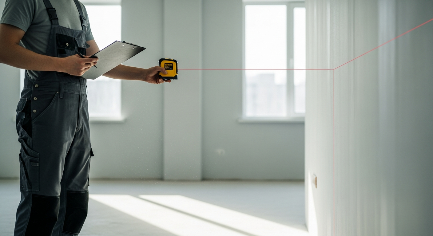
A good scoping question is simple: who will use the deliverable next, and in what software? If the next user needs editable plans in CAD, ask for plans. If the next user is a modeling team that works directly from point clouds, ask whether they need registered scan data in addition to drawings.
How ReCap relates to other scanning terms you may see
The scanning industry uses a lot of overlapping terms, and that can make procurement language confusing. ReCap is software. Reality capture is the broad process of turning real-world conditions into digital information. 3D laser scanning is one capture method. A point cloud is one of the main outputs. An as-built drawing is a drafted deliverable created from verified existing conditions.
Here is a simple way to separate the terms:
- 3D laser scanning: the field capture method
- Reality capture: the broader category that includes scanning and related methods
- Point cloud: the measured dataset generated from scans
- ReCap: software used to process and review captured data
- As-built drawings: the final plans produced for design, permitting, construction, or records
If you are building out a technical scope, it can also help to understand terrestrial vs. mobile laser scanning because capture method affects project speed, density, and sometimes the downstream workflow.
What to specify in an RFP or scope of work
If your search for Autodesk ReCap explained is part of writing a request for proposal, the best approach is to define outcomes instead of naming software only. Asking for “Autodesk ReCap” without describing your end use can lead to mismatched deliverables. One vendor may assume you want registered scan data. Another may assume you want plans derived from it.
A stronger scope usually answers these questions:
- What property type is involved: house, multifamily, retail, office, warehouse, school, or mixed-use?
- What areas are included: interior only, exterior only, roof, site, or all of the above?
- What is the end use: permit drawings, design background, coordination, area verification, facilities record, or asset planning?
- What final files are required: PDF, DWG, point cloud access, or 3D model?
- What level of detail matters: walls and openings only, or also structure, ceilings, stairs, roof geometry, and major MEP?
- What timeline is needed?
For California projects, it is also wise to note any jurisdiction-specific review context. For example, an ADU, SB 9 split, tenant improvement, or code-driven upgrade may need particular existing-condition information before design and permitting can move efficiently. Local requirements vary, so confirm expectations with the city or county handling your project.
Limits of ReCap and common misunderstandings
ReCap is powerful, but it does not solve every documentation problem by itself. It does not eliminate the need for experienced review. It does not automatically decide what needs to be shown on permit drawings. And it does not replace drafting judgment about wall types, annotation, code notes, or how to depict incomplete or obstructed conditions.
Common misunderstandings include:
- Assuming a point cloud is the same thing as a finished as-built plan set
- Assuming every scan captures every hidden condition
- Assuming scan software alone produces permit-ready sheets
- Assuming all downstream consultants want the same file format
Even with excellent scan data, projects still benefit from a clear scope and senior drafting review. FastAsBuilt’s model reflects that reality: field measurement happens on site, and senior drafters turn those measurements into usable CAD deliverables.

How FastAsBuilt approaches existing-condition documentation
FastAsBuilt focuses on delivering measured floor plans and as-built drawings that people can actually use. Our crews serve Southern California, the Bay Area, and San Diego. We measure on site with laser tools, then our senior drafters prepare permit-ready CAD files in both PDF and DWG.
That is often the right fit when your main need is not software access to reality capture data, but dependable documentation for the next step of the project. Typical use cases include:
- Single-family remodels and additions
- ADU planning
- SB 9 feasibility and design preparation
- Tenant improvements
- Commercial renovation backgrounds
- Floor plans for leasing, planning, and due diligence
If you are still deciding what kind of capture is appropriate, what a 3D building scan is can help frame the options. And if budget planning is part of your research, California as-built drawing costs gives useful context for comparing deliverables.
Frequently asked questions
Is Autodesk ReCap the same as 3D laser scanning?
No. 3D laser scanning is the field method used to capture existing conditions. Autodesk ReCap is software used after capture to process, review, and work with that data. The scanner collects the information; ReCap helps make it usable.
Do you need ReCap if you only want floor plans?
Not necessarily. If your goal is a clear set of measured floor plans, elevations, or sections, the important question is whether your provider can deliver accurate, permit-ready CAD files. The client does not always need direct access to the intermediate scan-processing environment.
Can ReCap files be submitted for permits in California?
Projects are typically submitted with drawings and supporting documents, not just scan-processing files. Local requirements vary by jurisdiction, so you should confirm expectations with the city or county reviewing the work. In most cases, permit teams want readable plans in standard formats such as PDF and CAD-based documentation.
When should an RFP ask for registered point clouds in addition to drawings?
Ask for registered point clouds when the next project phase includes in-house modeling, detailed coordination, or technical consultant review that benefits from direct scan access. If the next user mainly needs plans to design from, drawings may be the more practical primary deliverable.
Does FastAsBuilt provide the final drawings or just the field measurements?
FastAsBuilt provides the final documentation workflow: on-site laser measurement followed by senior drafting. We deliver permit-ready CAD files in PDF and DWG. For projects that need model-based deliverables, our 3D As-Built Plans include a 3D model plus 2D floor plans, elevations, and sections.
Start with accurate as-builts
Order field-measured 2D or 3D as-built drawings and let a local crew handle the measuring and drafting.
Get instant pricingBottom line
Autodesk ReCap is best understood as a reality capture tool that helps turn field-collected scan data into organized, reviewable digital existing conditions. It is valuable in many 3D laser scanning workflows, especially when teams need to inspect, register, and work from point cloud data. But for most California renovation and permitting projects, the real objective is not ReCap itself—it is accurate, usable as-built documentation. If you need measured floor plans or permit-ready CAD based on verified site conditions, FastAsBuilt can help you move from capture to deliverable with a scope that matches the actual next step of your project.