If you are wondering whether a satellite image site plan is enough for a remodel, addition, ADU, permit submittal, or simple feasibility check, the short answer is: sometimes for early planning, usually not for final approval. Satellite views can be useful for orientation, surrounding streets, and rough building placement, but they are rarely precise enough on their own for permit-ready work in California.
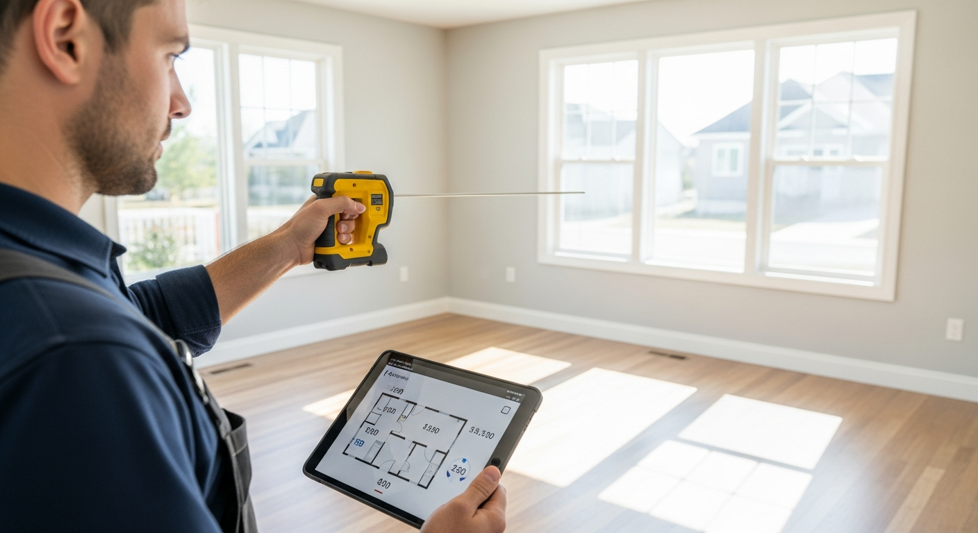
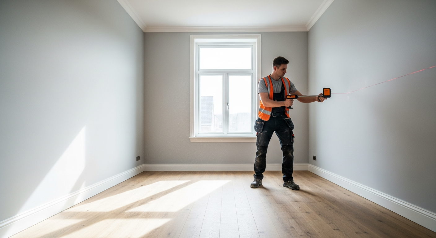
The reason is simple. A site plan is not just a picture from above. It is a scaled drawing that typically needs verified dimensions, setbacks, building footprint information, distances to property lines, and sometimes site features such as driveways, walks, decks, utility locations, retaining walls, and grade-related notes. If you are measuring a building for design or permit purposes, you need accuracy that satellite imagery usually cannot guarantee. FastAsBuilt helps bridge that gap by field-measuring existing conditions on site with laser tools and then producing clear CAD drawings in PDF and DWG formats.
What people mean by a satellite image site plan
When most people ask about a satellite image site plan, they usually mean one of three things:
- A screenshot from an online map with the property outlined for a quick concept.
- An aerial image inserted under a drafted plan as a visual reference.
- A formal site plan based partly on aerial imagery but corrected and completed with field measurements and parcel information.
Those are very different deliverables. The first can be fine for an internal conversation. The second can be useful in early design. The third is the one that matters if you are moving toward permits, construction pricing, or detailed planning.
A true site plan usually has scale, dimensions, labels, and a reliable relationship between the building and the lot. It may also need north orientation, adjacent street names, parking layout, easements, fences, and other existing site elements. In many California jurisdictions, the reviewing department will expect a site plan to be consistent with parcel records, zoning requirements, and the actual physical conditions on site.
When satellite imagery is useful
Satellite imagery has real value. It gives you a fast visual overview of a property and the neighborhood around it. For pre-design discussions, it can help answer basic questions such as where the building sits on the lot, whether there appears to be rear-yard access, how the driveway connects to the street, or whether neighboring structures may influence privacy and massing studies.
It can also help with:
- Initial feasibility reviews for additions, ADUs, and SB 9 concepts.
- Explaining the site to a designer or consultant before a field visit.
- Identifying obvious exterior features like detached garages, pools, patios, or large hardscape areas.
- Creating a rough exhibit for owner review before investing in a full measured drawing package.
For some simple planning tasks, that may be enough to move the conversation forward. But if the next step is a permit, a contractor bid, or final design decisions, the image needs to be backed up by reliable measurements. A good overview image is not the same thing as a dependable base drawing.
Why satellite imagery usually falls short for permit-ready plans
The biggest issue is accuracy. Satellite and aerial images can be distorted by angle, stitching, shadows, tree cover, roof overhangs, and image age. Even when a map platform provides measuring tools, those tools are only as good as the underlying image and calibration. That is risky if you need to know whether an addition sits five feet from a side property line or whether an existing garage footprint matches prior records.
Another issue is that satellite views show roofs, not floor plans. If you are evaluating an existing structure, the roof line may not match the wall line below. Eaves, cantilevers, porches, covered patios, and sloped roofs can all make the visible outline misleading. This is one reason the as-built process step by step relies on on-site measurement rather than image-only tracing.
Satellite imagery also does not tell you enough about vertical conditions. A proper site or existing conditions set may need floor elevations, step conditions, retaining relationships, openings, wall lengths, and other details that are simply not visible from overhead imagery.
In practical terms, a satellite image site plan often fails in these situations:
- When setback compliance must be confirmed.
- When the lot shape is irregular or narrow.
- When trees or neighboring structures obscure edges.
- When the image is old and the site has changed.
- When the permit reviewer expects dimensions tied to real measurements.
- When the project depends on exact existing conditions, such as tenant improvements or additions.
What a jurisdiction usually expects from a real site plan
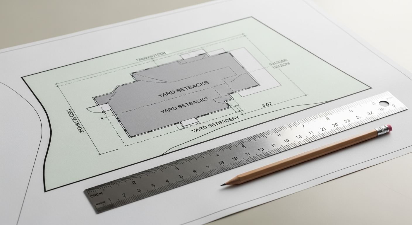
Each California city or county has its own checklist, so you should always confirm requirements with the local jurisdiction. Still, most permit site plans ask for more than an overhead image. They often require dimensions to property lines, overall lot dimensions, existing and proposed structures, setbacks, and clearly labeled site features. If your property is in a hillside area, coastal zone, historic district, or other special overlay, the drawing requirements can become more detailed.
Depending on the project, a site plan may also need to show:
- North arrow and scale.
- Street names and adjacent public way information.
- Driveways, parking, and path of travel elements.
- Mechanical equipment locations.
- Decks, stairs, fences, walls, and accessory structures.
- Easements or utility-related notes if applicable.
- Existing and proposed work clearly distinguished.
This is why many owners start with existing-condition plans before design begins. If you have not worked with measured drawings before, it helps to review what as-built drawings are and how they support later permit documents.
How field measurement improves a satellite image site plan
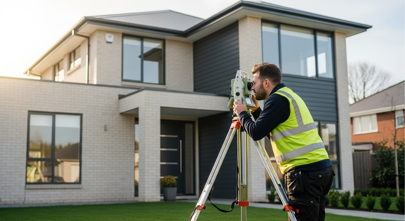
A useful workflow is to treat satellite imagery as a reference layer, not the final authority. FastAsBuilt sends a local California crew to measure the building and relevant site conditions with laser tools. Then senior drafters convert those measurements into permit-ready CAD files. That gives you a clean drawing with dimensions and a reliable base for design.
In many projects, field measurement can confirm or correct what the aerial image suggests. A detached garage might be closer to a fence than it appears. A rear addition may not align with the main house. A side yard might pinch down more than expected. These differences matter when the project depends on legal setbacks, egress paths, parking layout, or construction coordination.
For clients comparing options, FastAsBuilt offers 2D As-Built Plans starting at $900 for up to 1,500 square feet, then $0.50 per square foot. These typically include one revision and are usually delivered in 48 to 72 hours. For clients who need more developed documentation, 3D As-Built Plans start at $1,500, then $1.00 per square foot, and include a 3D model plus 2D floor plans, elevations, and sections, with two revisions and typical delivery in 3 to 5 business days. Commercial work, ADUs, SB 9 projects, and tenant improvements are quoted individually.
Turnaround times are estimates and may vary based on project complexity and scheduling.
Need accurate as-built plans?
FastAsBuilt sends a local crew to laser-measure your property and delivers permit-ready 2D or 3D drawings, starting at $900.
See 2D & 3D pricingCommon mistakes when using aerial images for design decisions
The most common mistake is assuming that an online measurement is precise enough because it looks clean on screen. Another is tracing the visible roof edge and treating it as the actual wall perimeter. That can create errors from the very first design sketch.
Other frequent problems include:
- Ignoring lot-line uncertainty. Property boundaries shown on consumer map tools may be approximate.
- Missing elevation changes. A flat image does not reveal steps, slopes, or retaining conditions well.
- Overlooking hidden structures. A carport, covered patio, or narrow side-yard element may be obscured.
- Using outdated imagery. The site may have changed since the image was captured.
- Assuming permit reviewers will accept a screenshot. Many will not for formal submittals.
If your project depends on exact dimensions, it is usually more efficient to verify conditions early rather than redesign later. This is especially true when a project is near zoning limits or when the existing structure has been altered over time without perfectly matching prior records.
California-specific situations where verification matters more
In California, site constraints and local rules often make precise existing conditions more important, not less. ADUs, garage conversions, SB 9 lot split and housing proposals, and tenant improvements can all require careful review of what already exists on the parcel. A rough aerial plan may be enough to discuss possibilities, but the final path usually depends on measured information and local interpretation.
For example, Title 24 compliance work, accessibility-related upgrades, fire access review, and parking layout analysis may all depend on dimensions that cannot be trusted from imagery alone. On multifamily properties, laws such as SB 721 and SB 326 can trigger inspection and maintenance work related to exterior elevated elements; while those laws are not site-plan rules, they can lead owners to need dependable existing drawings as part of broader property documentation. Historic properties using incentives such as the Mills Act may also require careful coordination with local preservation expectations. For any law or program, it is smart to confirm current requirements with the local city, county, or qualified design professional.
If you are planning permit documents, this is also why it helps to understand how accurate permit drawings need to be. The closer your project is to a constraint, the less room there is for approximation.
What FastAsBuilt actually measures on site
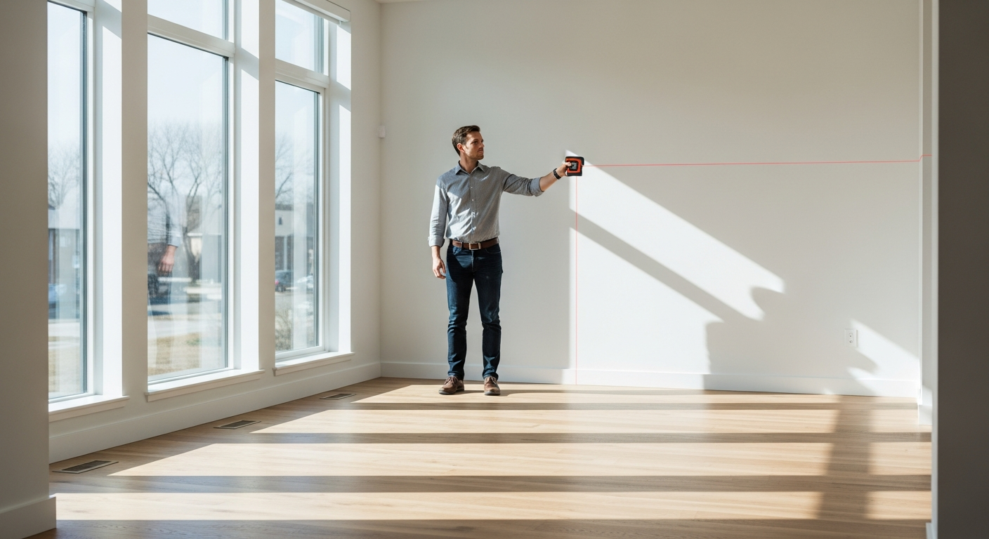
For most residential existing-condition projects, the goal is to document the real building layout and key site relationships in a way that supports design and permitting. That includes measuring the structure itself and capturing the conditions needed for the drawing scope. The exact scope depends on the project, but it commonly includes exterior footprint dimensions, interior room layout, door and window locations, stair geometry, and other existing features relevant to the plans.
For site-related work, the crew can document visible conditions that matter to the requested deliverable, helping the drafted plan reflect what is actually there rather than what an image seems to show. If you want a deeper look at the visit itself, see what happens during an as-built measurement.
FastAsBuilt uses on-site laser measurement and then has senior drafters produce the CAD drawings. That approach is particularly helpful when you need a dependable starting point for an architect, designer, engineer, or contractor. If you already know the level of service you need, you can review options and place a request through the order page.
Can a satellite image ever be enough by itself?
Yes, but only for limited purposes. If you are creating a very rough concept exhibit, discussing access with a consultant, or organizing early due diligence, a satellite image by itself may be enough to communicate basic context. It can also be acceptable for internal planning where everyone understands that dimensions are approximate and subject to verification.
It is much less likely to be enough when:
- You need a permit-ready site plan.
- You are confirming setbacks or footprint dimensions.
- You are pricing construction from the drawing.
- You are coordinating structural, civil, or architectural design.
- You need to show existing conditions accurately for an addition or alteration.
A simple rule works well: if the drawing will influence legal compliance, design decisions, or money, verify it in the field. If it is only for rough discussion, imagery may be fine as a temporary starting point.
How to decide the right level of documentation for your project
Not every property needs the same scope. A homeowner exploring an ADU concept may only need 2D existing plans first. A commercial tenant improvement may need a more custom package. A designer studying a complicated roof form, vaulted spaces, or sectional relationships may prefer the 3D option because it includes a model along with floor plans, elevations, and sections.
When choosing your starting point, ask:
- Is this just for feasibility, or will it go to permit?
- Do you need only the footprint, or full existing-condition plans?
- Are lot lines and setbacks critical to the decision?
- Will another consultant rely on the accuracy of the drawing?
- Are there irregular conditions that imagery may hide?
If you are not sure, it can help to review how long the visit and drafting usually take. FastAsBuilt typically delivers 2D plans in 48 to 72 hours and 3D plans in 3 to 5 business days, depending on scope. For more context, see how long it takes to get as-built plans back. Starting with a measured base often saves time overall because your design team works from verified information instead of assumptions.
Turnaround times are estimates and may vary based on project complexity and scheduling.
Frequently asked questions
Can I submit a satellite screenshot as my site plan for a permit?
Sometimes a jurisdiction may accept a rough image for an early conversation, but a formal permit submittal usually requires a scaled drawing with verified dimensions and labels. Always confirm the current checklist with your city or county.
Is a satellite image site plan accurate enough for an ADU or SB 9 project?
It may be useful for initial feasibility, but ADUs and SB 9 projects often depend on setbacks, access, parking, and existing-condition details that should be field-verified. In California, local interpretation matters, so confirm requirements with the jurisdiction before relying on imagery alone.
Why can’t I just trace the roof outline from an aerial image?
Because the roof edge is not always the wall edge. Overhangs, porches, covered exterior spaces, and sloped forms can make the roof footprint different from the actual building footprint. That can lead to incorrect design assumptions.
What if I only need a rough concept and not permit-ready drawings yet?
In that case, a satellite image can be a practical starting tool. Just treat it as approximate and subject to confirmation. Once the project begins to affect permitting, pricing, or final design, measured drawings become the safer choice.
How does FastAsBuilt help if I already have an aerial image?
FastAsBuilt can use your image as context, but the core value comes from on-site laser measurement and drafting by senior drafters into PDF and DWG files. That gives you a dependable existing-condition base for your next step.
Start with accurate as-builts
Order field-measured 2D or 3D as-built drawings and let a local crew handle the measuring and drafting.
Get instant pricingBottom line
A satellite image site plan is helpful for orientation and early feasibility, but it is usually not enough by itself when accuracy matters. If your project in California involves permits, setbacks, design coordination, or construction decisions, field measurement is the safer path. FastAsBuilt provides measured as-built drawings and floor plans across Southern California, the Bay Area, and San Diego, giving you a verified base drawing you can actually build from.