
If you are asking what is a boundary survey, the short answer is simple: it is a professional survey that identifies and maps the legal limits of a parcel of land. It shows where your property begins and ends based on deed descriptions, recorded maps, monuments found in the field, and the surveyor’s measurements and analysis.
That basic definition matters because a surprising number of projects start with the wrong document. A floor plan shows the inside of a building. An as-built drawing records what exists on site. A plot plan may place structures on a lot. But a boundary survey focuses on the legal property lines themselves. In California, that can affect fencing, additions, ADUs, access, setbacks, title questions, and neighbor disputes. If you are planning design or permit work, understanding the role of a boundary survey can save time and expensive rework.
What is a boundary survey in plain English?
A boundary survey is a land survey performed to determine the location of a parcel’s boundary lines and corners. In plain English, it answers the question, “Where is my property line?” The surveyor studies the legal description tied to the property, reviews available records, visits the site, locates physical evidence such as monuments or markers, takes measurements, and prepares a drawing or map showing the results.
The final product typically shows the parcel outline, dimensions, corner locations, adjoining streets or parcels, and visible improvements that relate to the boundaries. Depending on the situation, it may also note fences, walls, driveways, utility features, or apparent encroachments near the line.
For owners, buyers, architects, and contractors, the key point is that a boundary survey is about legal land limits, not just visible occupation. A fence is not automatically the property line. A curb is not automatically the property line. The survey is what ties the site back to the legal record and field evidence.
What a boundary survey usually includes
While the exact deliverable varies by surveyor, property type, and jurisdiction, most boundary surveys include several core elements. These are the items people usually expect when they ask for a boundary survey example.
- Legal parcel boundaries based on deeds, tract maps, parcel maps, or other recorded documents
- Property corner locations and any monuments found or set
- Dimensions, bearings, curves, and other line information needed to define the parcel
- Street frontage and basic relationship to adjacent parcels or rights-of-way
- Visible site features near the line, such as fences, walls, paving, gates, and driveways
- Notes about apparent encroachments or conflicts between occupation and the record boundary
- A survey map, plat, or similar drawing showing the findings
Some surveys include much more, especially if the property is complex or the work is being prepared for design, entitlement, or dispute resolution. For example, a surveyor may also show easements from title documents, topographic data, utilities, or building locations. That expanded scope can overlap with other site documents, but the boundary determination remains the foundation.
If you are also trying to understand how land information fits with building documentation, it helps to compare a boundary survey with an as-built survey or review what as-built drawings are. They may work together on a project, but they answer different questions.
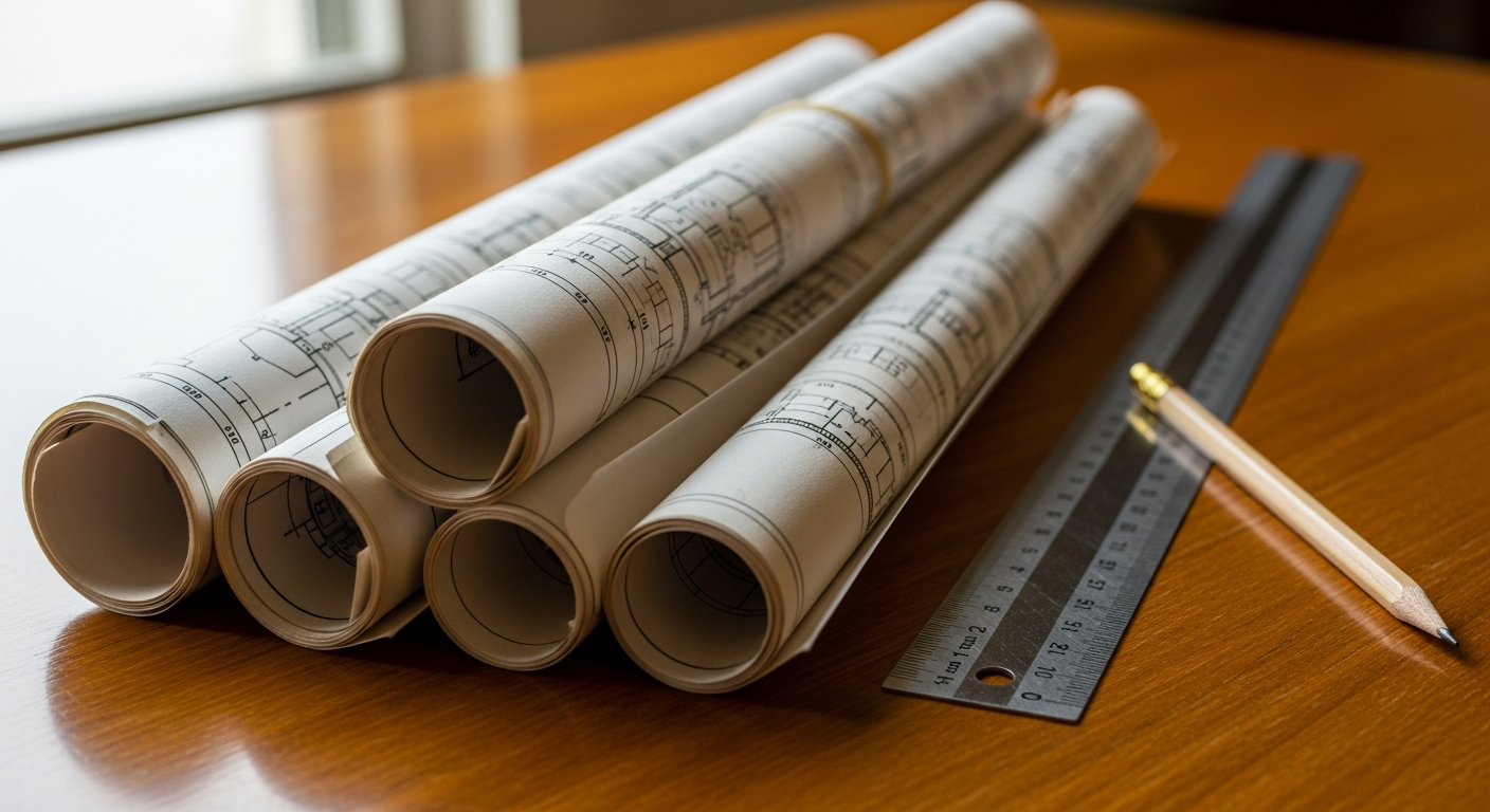
How surveyors determine property lines
Many owners assume a boundary survey is just a matter of measuring from a fence or pulling dimensions from an online map. In reality, boundary determination is a professional process that combines legal research and fieldwork.
Record research
The surveyor begins by reviewing the documents that define or affect the parcel. That can include the deed, subdivision maps, record of survey maps, easement documents, and other public records. The goal is to understand how the property is described on paper and how it relates to neighboring parcels and public rights-of-way.
Field investigation
Next comes work on site. The surveyor looks for monuments, pins, markers, control points, and evidence of possession such as fences or walls. Modern survey equipment is used to take precise measurements and connect the site conditions to the record information.
Analysis and resolution
Surveying is not only measurement; it is interpretation. Sometimes the field evidence matches the record cleanly. Sometimes it does not. Monuments may be missing, occupation lines may conflict, or older descriptions may be ambiguous. The surveyor weighs the evidence and applies professional judgment to determine the boundary location.
Mapping the result
The final survey drawing communicates the conclusion. It gives owners, design teams, title professionals, and contractors a reliable basis for planning the next step.
This is one reason a boundary survey should not be confused with measured building documentation. At FastAsBuilt, our work centers on field-measured existing structures, including as-built floor plans and broader existing conditions packages. Those drawings are essential for design and permit work, but they do not replace a licensed land surveyor’s boundary determination.
When you may need a boundary survey in California
Not every property task starts with a survey, but many important ones should. In California, a boundary survey is commonly needed when legal parcel lines affect design, ownership, access, or compliance.
- Before building a fence, wall, or gate near a property line
- Before designing an addition, ADU, garage conversion, or new detached structure
- When buying or selling a property with unclear site conditions
- When there is a disagreement with a neighbor about the line location
- When title, easement, or encroachment questions need clarification
- When an architect or engineer needs reliable lot information for setbacks and site planning
- When an older property has conflicting documents or uncertain monuments
California projects often involve accessory dwellings, lot splits, and additions in tight urban lots. In those cases, accurate parcel boundaries become especially important because local setback rules and site constraints can leave little margin for error. If you are pursuing an ADU or a project under SB 9, a design team may need both a boundary survey for legal site limits and measured building drawings for what already exists.
Similarly, on older multifamily or mixed-use properties, site documentation may need to support inspection or upgrade work connected to laws such as SB 721 or SB 326. Those laws are not boundary-survey laws, but property owners sometimes need better documentation of existing site and building conditions while planning repairs. Always confirm current requirements with the local jurisdiction and the professionals responsible for your permit or compliance path.
Need accurate as-built plans?
FastAsBuilt sends a local crew to laser-measure your property and delivers permit-ready 2D or 3D drawings, starting at $900.
See 2D & 3D pricingBoundary survey example: what the drawing might show
A simple boundary survey example for a rectangular residential lot might show the front, rear, and side property lines with bearings and distances; iron pins or other monuments at corners; the width of the street frontage; the location of a driveway and fence; and the footprint of the house in relation to the lot lines. If a fence is several inches or several feet off the legal line, the survey may note that difference as an apparent encroachment or occupation discrepancy.
On a more complex parcel, the survey might also show:
- Curved boundary lines and radius data
- Alley access or corner-lot geometry
- Recorded easements affecting a utility path or shared access
- Retaining walls, detached structures, or overhangs near the line
- Conflicts between adjoining deeds or map records
For a commercial site, the survey can become much more detailed because there may be multiple buildings, parking areas, access points, loading zones, and utility easements interacting with the parcel boundary.
The important takeaway is that a boundary survey example usually includes enough information to evaluate where legal lines are and how visible improvements relate to those lines. It is not usually focused on interior room dimensions, door swings, cabinetry, or detailed architectural elements. That is the job of floor plans and other building drawings.
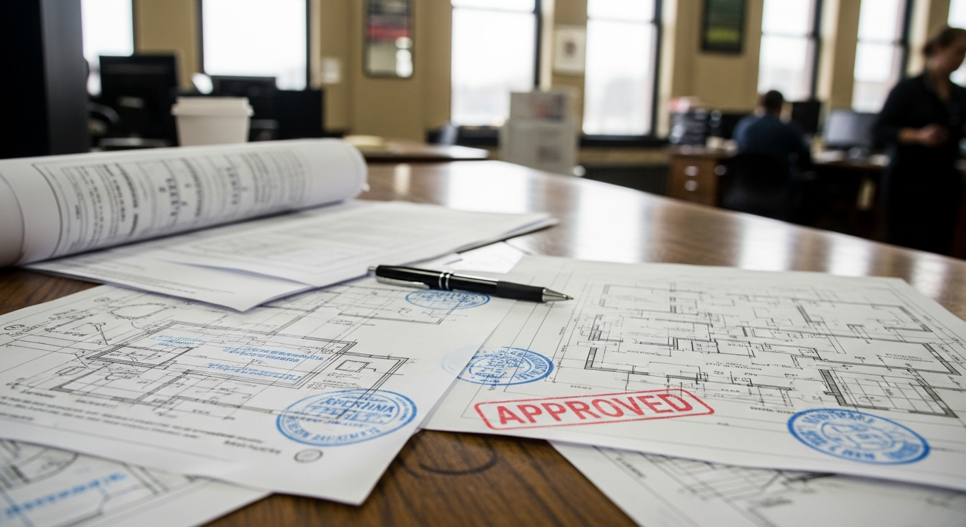
Boundary survey vs floor plan
The phrase boundary survey vs floor plan causes confusion because both documents involve measurement, but they serve very different purposes.
What a boundary survey shows
A boundary survey shows the legal outline of the land parcel and the relationship of visible site features to that legal outline. It is about the lot.
What a floor plan shows
A floor plan shows the layout of a building interior and often exterior wall footprint. It is about the structure. A measured existing floor plan can show room sizes, wall locations, doors, windows, stairs, plumbing fixtures, and other building features.
Why the difference matters
If you are remodeling a kitchen, a floor plan matters more than a boundary survey. If you are placing a new detached ADU close to a side yard setback, the boundary survey may become critical. Many California projects need both because you have to understand the legal buildable area and the existing building conditions at the same time.
- Boundary survey: legal parcel lines, corners, monuments, encroachments
- Floor plan: rooms, walls, openings, circulation, interior dimensions
- Boundary survey prepared by: licensed land survey professional
- Measured as-built floor plan prepared by: field measurement and drafting team focused on building conditions
At FastAsBuilt, we provide field-measured existing building documentation across California using on-site laser measurement and senior drafters who produce permit-ready CAD files in PDF and DWG formats. If your project needs the current structure documented accurately, our as-built drawing scope can complement the land survey work prepared by your surveyor.
Boundary survey vs plot plan vs as-built drawings
Another source of confusion is the overlap in terms used during planning and permit work. A boundary survey is only one piece of the larger documentation puzzle.
Boundary survey vs plot plan
A plot plan generally shows the arrangement of structures and site features on a lot. In some cases, the plot plan is based on accurate survey information. In others, it may be a simplified drawing assembled for planning or permit purposes. A plot plan can include setbacks, driveways, walkways, and building placement, but it is not automatically a boundary determination unless it is rooted in survey work. If you want a deeper comparison, see what a plot plan is.
Boundary survey vs as-built drawings
As-built drawings document what exists, typically focusing on buildings and constructed conditions. They can include floor plans, elevations, roof plans, sections, reflected ceiling plans, and exterior measurements. They are extremely useful when you are renovating, adding square footage, preparing permit sets, or coordinating consultants. But they usually do not establish legal parcel boundaries.
If you are sorting through these terms, it can also help to review what an existing conditions plan is. Many projects use an existing conditions set as the baseline for design, while relying on a separate boundary survey to define the parcel itself.
In practice, the sequence often works like this: the surveyor establishes the lot lines; the design team uses that information to test setbacks and site feasibility; and FastAsBuilt documents the existing structure so architects, engineers, and contractors can design from reliable conditions rather than guesswork.
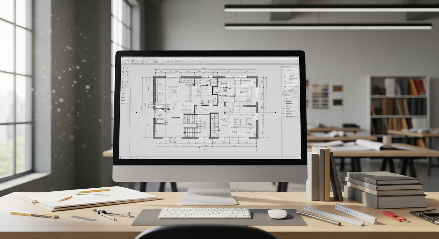
What a boundary survey does not tell you
Because the word “survey” is broad, owners sometimes expect one document to answer every property question. A boundary survey is valuable, but it has limits.
- It does not usually provide a complete interior building layout
- It does not replace architectural as-builts for remodel design
- It does not automatically confirm zoning compliance or permit approval
- It does not substitute for structural, geotechnical, or civil engineering analysis
- It does not by itself guarantee that every title issue has been resolved
For example, a boundary survey may show where the legal line is, but your project still has to comply with local zoning, setbacks, height limits, parking rules, and building code requirements. In California, that can also intersect with energy and code coordination under Title 24, or with local historic review if a property is subject to the Mills Act or other preservation controls. The survey helps define the site, but the city or county and your licensed design professionals determine how your project can move forward. Always confirm current local requirements with the jurisdiction handling the permit.
How boundary surveys fit into remodels, additions, and ADUs
For many property owners, the practical question is not just what is a boundary survey, but whether it belongs in their project budget and schedule. The answer depends on risk. The closer your work gets to the edge of the lot, the more valuable a survey becomes.
Consider a few common California scenarios:
- Interior remodel only: If you are reworking rooms inside the existing envelope, you may only need measured as-built floor plans and related building drawings.
- Rear or side addition: If new work changes the building footprint, a boundary survey may be needed to evaluate setbacks and available buildable area.
- Detached ADU: Because placement on the lot is critical, a boundary survey is often highly advisable, especially on narrow or irregular parcels.
- Garage conversion: The conversion itself may rely more on existing building documentation, but site issues such as access or added exterior work can still make survey information useful.
- Tenant improvement on a commercial site: Interior changes may lean on as-builts, while site circulation, parking, or property constraints can call for survey support.
FastAsBuilt’s role is the existing structure side of that equation. We provide 2D As-Built Plans starting at $900 for up to 1,500 square feet, then $0.50 per square foot, with one revision and typical 48–72 hour delivery. We also provide 3D As-Built Plans starting at $1,500, then $1.00 per square foot, including a 3D model plus 2D floor plans, elevations, and sections, with two revisions and typical 3–5 business day delivery. Custom commercial, ADU, SB9, and tenant improvement projects are quoted individually. If you already have a surveyor for the land side and need measured building documentation, you can place an order here.
Turnaround times are estimates and may vary based on project complexity and scheduling.
How to know whether you need both a surveyor and FastAsBuilt
On many jobs, the best answer is not either-or. It is both.
You likely need a boundary survey when the project depends on the legal lot line location. You likely need FastAsBuilt when the project depends on accurate documentation of the existing building. If your architect is drawing new work against uncertain dimensions, whether on the site or in the structure, the design can drift off course quickly.
A simple way to think about it is this:
- If the question is “Where is the property line?” call a surveyor.
- If the question is “What is actually built right now?” call FastAsBuilt.
- If the project involves both site placement and existing building conditions, coordinate both from the start.
This can be especially important on older California homes and commercial buildings where records are incomplete, additions were made over time, or visible conditions no longer match the original plans. Starting with reliable base information reduces redesign and field surprises later.
Frequently asked questions
Is a boundary survey the same as a plot plan?
No. A boundary survey establishes the legal property lines and corners. A plot plan shows how structures and site features sit on a lot. A plot plan may use survey information, but it is not automatically the same thing as a boundary survey.
Can a floor plan show my property lines?
Usually no, at least not in a reliable legal sense. A floor plan is focused on the building layout. It may show the building footprint, but it does not establish the parcel boundary. For that, you need a licensed land surveyor.
Do I need a boundary survey for an ADU in California?
Not every ADU project will be asked for the same documents, but a boundary survey is often a smart step when building placement, setbacks, easements, or tight lot conditions matter. Requirements vary by city and county, so confirm with the local jurisdiction and your design team.
Will a boundary survey resolve a neighbor dispute?
It can provide critical evidence about the likely legal boundary location, which often helps clarify the issue. But some disputes also involve title matters, long-term occupation, or legal claims beyond the survey itself. In those cases, owners may need advice from a qualified real estate attorney in addition to a surveyor.
Does FastAsBuilt provide boundary surveys?
FastAsBuilt provides field-measured as-built drawings and measured floor plans across California, not legal boundary surveys. Our local crews serve Southern California, the Bay Area, and San Diego, and our senior drafters produce permit-ready CAD files in PDF and DWG formats. If your project needs interior and exterior existing-condition documentation, we can support that scope alongside your surveyor’s work.
Start with accurate as-builts
Order field-measured 2D or 3D as-built drawings and let a local crew handle the measuring and drafting.
Get instant pricingBottom line
A boundary survey identifies the legal edges of your property, while floor plans and as-built drawings document the building that sits on it. If your California project depends on setbacks, lot placement, or line disputes, start with a licensed surveyor; if it depends on accurate existing building measurements, FastAsBuilt can provide the permit-ready documentation your team needs.