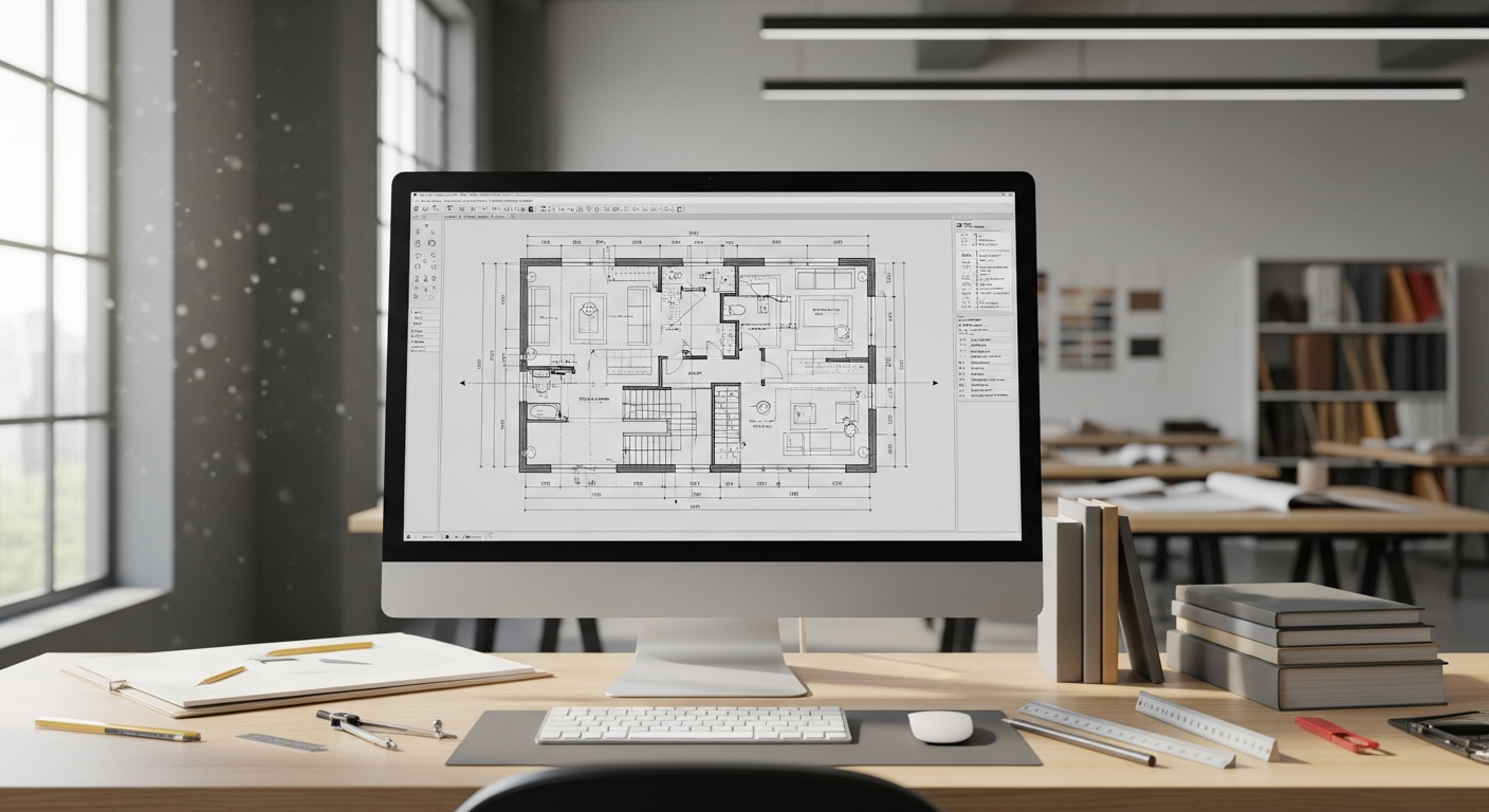
If you have searched for what is an elevation drawing, you are usually trying to understand how architects, contractors, permit reviewers, and property owners see a building from the outside. An elevation drawing is a flat, straight-on drawing of one face of a structure. It shows what that side looks like without perspective, so doors, windows, roof lines, wall heights, grade relationships, and exterior finishes can be reviewed clearly.
For California projects, elevation drawings are often part of a bigger plan set used for remodels, additions, ADUs, tenant improvements, and documentation of existing conditions. They help answer practical questions: How tall is the wall? Where do the windows line up? How does the new addition relate to the existing roof? If you are starting with an older property and do not have dependable plans, FastAsBuilt can field-measure the site and produce permit-ready CAD files that document the existing building conditions in PDF and DWG format.
What is an elevation drawing in simple terms?
An elevation drawing is a 2D view of a building or interior surface as if you were standing directly in front of it and looking straight at it. Unlike a photo, it removes perspective distortion. That means vertical lines stay vertical, horizontal lines stay horizontal, and sizes can be measured from the drawing when it is scaled properly.
The term usually refers to exterior sides of a building, such as the front, rear, left, and right elevations. In some cases, people also use the word elevation for interior wall views, especially in kitchens, bathrooms, millwork, and commercial interiors.
- Front elevation: the face that typically addresses the street or main entry
- Rear elevation: the back side of the structure
- Side elevations: the left and right exterior faces
- Interior elevations: flat views of interior walls, cabinets, tile layouts, and fixtures
If you are new to plan reading, it helps to think of elevation drawings as one part of a complete visual package. Floor plans show layout from above, sections show a cut through the building, and elevations show the surfaces you would see from the outside or from directly in front of an interior wall.
What exterior elevation plans typically show
Exterior elevation plans are meant to communicate appearance and vertical relationships. They are not just “pretty pictures.” They often include information needed for design coordination, permitting, pricing, and construction.
A typical exterior elevation plan may show:
- Overall building height
- Floor-to-floor or plate heights
- Roof forms, ridges, slopes, parapets, and eaves
- Doors, windows, and their relative placement
- Exterior materials such as stucco, siding, brick, wood, or metal panels
- Trim, fascia, guardrails, and handrails
- Finished grade lines and important slope relationships
- Decks, porches, stairs, and landings
- Notes calling out finishes, dimensions, or key details
On many permit sets, exterior elevation plans also coordinate with code and zoning review. A city may use them to confirm visible massing, setbacks in relation to grade, window placement, privacy considerations, or height compliance. Because local interpretation can vary in California, it is always smart to confirm exact submittal expectations with the local jurisdiction.
Why elevation drawings matter on real projects
Elevation drawings matter because many critical decisions cannot be made from a floor plan alone. A floor plan can show that a window exists, but it will not always show how tall it is relative to the roof line, whether heads align across the façade, or how the exterior composition reads from the street.
That is especially important in California, where design review, planning review, neighborhood compatibility, coastal review, historic considerations, and permit documentation can all depend on a clear understanding of the existing and proposed exterior appearance. For a homeowner, elevations reduce surprises. For a contractor, they improve estimating and coordination. For a designer, they help resolve proportions before work begins.
They are also valuable when documenting older buildings with incomplete records. If you are trying to understand existing conditions before a remodel, it helps to start with reliable measured documentation. Articles like what are as-built drawings and what’s included in as-built drawings explain how measured existing-condition plans support design and permitting.
Elevation vs floor plan: what is the difference?
The most common point of confusion is elevation vs floor plan. Both are 2D drawings, but they answer different questions.
What a floor plan shows
A floor plan is a top-down view, as if the building were cut horizontally a few feet above the floor and you looked down into it. It shows room layouts, wall locations, door swings, circulation paths, fixtures, and overall dimensions in plan.
What an elevation shows
An elevation is a straight-on vertical view. It shows the face of a wall or building side, including heights, openings, and exterior design elements.
- Floor plan: width and depth relationships
- Elevation: width and height relationships
- Floor plan: how spaces connect
- Elevation: how surfaces and openings appear
- Floor plan: viewed from above
- Elevation: viewed from the side or front, straight on
In short, a floor plan tells you where things are, while an elevation tells you what they look like vertically. If you are reviewing existing-condition documents, you may also want to read what is an as-built floor plan for a clearer picture of how measured plans fit into the overall set.
Need accurate as-built plans?
FastAsBuilt sends a local crew to laser-measure your property and delivers permit-ready 2D or 3D drawings, starting at $900.
See 2D & 3D pricingHow elevation drawings are created
Elevation drawings can be created from design intent, from measured field conditions, or from both. For existing buildings, the quality of the elevation depends heavily on the quality of the field measurement. Guesswork at this stage often leads to errors later, especially around roof forms, window spacing, and grade changes.
At FastAsBuilt, the process starts with on-site laser measurement by local California crews. Those field measurements are then turned into permit-ready CAD drawings by senior drafters. Depending on the project, the final deliverables may include floor plans, elevations, sections, and a 3D model. Files are delivered in PDF and DWG format.
For straightforward residential documentation, 2D As-Built Plans start at $900 for up to 1,500 square feet, then $0.50 per square foot, and typically deliver in 48–72 hours with one revision included. 3D As-Built Plans start at $1,500, then $1.00 per square foot, and include a 3D model plus 2D floor plans, elevations, and sections, with typical delivery in 3–5 business days and two revisions included. Larger commercial spaces, ADUs, SB 9 projects, and tenant improvements are usually quoted individually. If you already know your scope, you can start an order when you are ready.
Turnaround times are estimates and may vary based on project complexity and scheduling.
What makes a good elevation drawing
A good elevation drawing is accurate, readable, and useful for decision-making. It should not be cluttered, but it also should not leave out information that affects design, permitting, or construction.
Key qualities include:
- Accurate vertical dimensions: heights, sill levels, parapets, ridges, and grade lines should be based on reliable measurement
- Clear opening locations: windows and doors should align correctly with the plan and with one another
- Material notation: exterior finishes should be labeled clearly where relevant
- Consistent drafting standards: lineweights, scaling, labels, and references should be easy to follow
- Coordination with other sheets: elevations should match floor plans, sections, and details
For existing-condition work, the challenge is often hidden irregularity. Older buildings may have additions, sloping floors, changed openings, layered siding, or altered roof lines that no longer match old records. That is one reason measured documentation is so important. If you are comparing different document types, as-built vs measured drawings is a helpful place to start.
When California property owners usually need them
You may need elevation drawings in more situations than you expect. In California, they commonly come up when a project affects the building exterior, height, massing, or visible appearance.
- Home additions and second-story additions
- ADUs and junior ADUs
- Garage conversions
- Exterior remodels and façade changes
- Window and door reconfiguration
- Deck, stair, and entry revisions
- Tenant improvements with storefront or exterior impacts
- Historic or character-sensitive properties
- Existing-condition documentation before design begins
Elevation drawings may also support projects influenced by California rules or local programs, such as SB 9 lot split and housing development situations, Title 24-related upgrades that affect envelopes or openings, and historic properties reviewed under local preservation programs or the Mills Act. The exact documents required vary by city and county, so it is important to verify submittal requirements with the local building or planning department.
Elevation drawings and permit review
Permit reviewers use elevations to understand what is changing and whether the proposed work is consistent with the approved scope. They may compare existing and proposed elevations to see if new windows are being added, whether a roof profile is changing, or whether decks and guards comply with the submitted design.
For planning review, elevations can be even more important. They help staff and boards evaluate visual bulk, compatibility with neighboring properties, privacy impacts, and front-yard presentation. On sloped sites, elevation drawings often work together with sections and site information to explain how a structure sits on the land.
That relationship between document types is a major reason complete as-built sets save time. If the floor plans, elevations, and sections all come from the same measured survey effort, the design team starts from a more dependable base. For more context, see why as-built drawings matter for every project and as-built vs design drawings explained.
Common mistakes people make when reading elevations
Many people assume an elevation is a photo-like image, but that leads to misunderstandings. Because the drawing is orthographic, it does not show depth the way your eye sees it in real life. That is useful for measurement, but it means you have to read it together with the rest of the set.
Some common mistakes include:
- Confusing elevation with perspective: an elevation is flat and measurable, not a rendered view
- Ignoring scale: apparent size on screen can be misleading if you do not check the drawing scale or dimensions
- Reading one sheet in isolation: window positions, roof forms, and grade relationships often make more sense when compared with plans and sections
- Missing grade changes: sloped sites can make one side of a building look very different from another
- Assuming symmetry: left and right sides are often not mirror images, especially on remodeled homes
When you are reviewing measured existing-condition documents, it also helps to understand standard notation and drafting conventions. If you want a broader reading primer, how to read as-built drawings can help you make sense of scales, labels, and symbols.
How elevation drawings fit into as-built documentation
Elevation drawings are often one component of a larger as-built package. If a property owner or design team is documenting an existing structure, they may need more than just the exterior faces. They may also need floor plans, roof information, sections, reflected ceiling plans in some cases, and selected interior elevations depending on the scope.
That broader package is what allows a remodel or addition to begin efficiently. Instead of relying on outdated blueprints or partial permit records, the team works from measured current conditions. This is especially valuable in California, where buildings are frequently altered over time and local records may not tell the whole story.
If you are unsure whether your old plans are enough, it is worth understanding the difference between original design documents and actual field conditions. Helpful comparisons include as-built vs record drawings and are as-built drawings the same as blueprints. The short version is that existing buildings often differ from what was originally designed or permitted.
Frequently asked questions
Is an elevation drawing the same as a floor plan?
No. This is the core elevation vs floor plan distinction. A floor plan is viewed from above and shows the arrangement of rooms, walls, and fixtures. An elevation drawing is viewed straight on and shows a building face or wall vertically, including openings, heights, and finishes.
Do exterior elevation plans show dimensions?
They often do, but the amount depends on the purpose of the drawing. Existing-condition and permit sets commonly show important heights, opening locations, roof lines, and grade references. Some schematic drawings may be lighter on dimensions, while construction and permit documents are usually more explicit.
Can elevation drawings be made for an existing house without original plans?
Yes. That is a common reason measured as-built documentation is ordered. FastAsBuilt can send local crews to field-measure an existing property in Southern California, the Bay Area, or San Diego, then produce CAD drawings from those measurements. This is often the most practical way to document older homes, remodels, and additions when reliable legacy plans are missing.
Do you need all four elevations?
Often yes, especially for permit and design review. Even if only one side is changing, reviewers and design teams frequently want to understand the whole exterior. On simple projects, the exact requirement depends on the city, county, and scope of work, so it is best to confirm with the local jurisdiction.
Are elevation drawings enough by themselves for permits?
Usually not. Most permit applications require a package of documents, which may include floor plans, site information, structural details, sections, energy documentation, and other discipline-specific sheets depending on the work. Elevations are important, but they are typically just one part of the set.
Start with accurate as-builts
Order field-measured 2D or 3D as-built drawings and let a local crew handle the measuring and drafting.
Get instant pricingBottom line
If you are asking what is an elevation drawing, the simplest answer is this: it is a straight-on, measurable view of a building face or wall that shows height, openings, and exterior appearance. Exterior elevation plans are essential for design clarity, permit review, and accurate documentation of existing conditions. And when comparing elevation vs floor plan, remember that floor plans explain layout from above while elevations explain vertical appearance from the side. For California remodels, additions, ADUs, and tenant improvements, dependable measured drawings give you a stronger starting point and fewer surprises later.