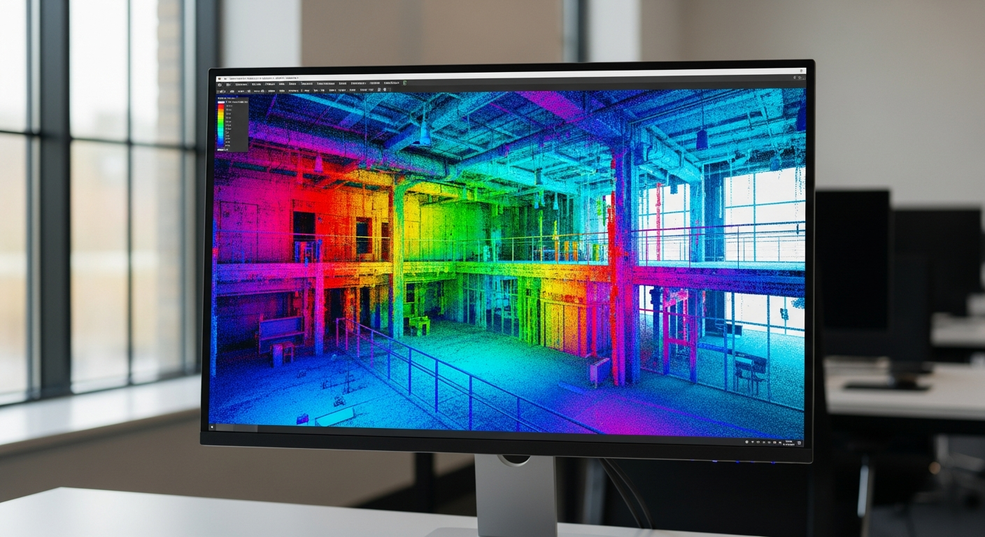
Point clouds are incredibly useful for documenting existing conditions, but they are also notoriously awkward to move from one person to another. A single scan set can quickly become too large for email, too complex for a casual file transfer, and too format-specific for consultants who use different software. If you need to share large point cloud files, the real challenge is not just size. It is making sure the recipient can open the files, understand what they contain, and actually use them for design, BIM, or as-built work.
For owners, architects, contractors, and consultants in California, a clean handoff matters because point cloud data often supports permits, remodel planning, tenant improvements, ADUs, SB 9 projects, and measured existing-condition documentation. The best approach is usually a mix of the right export format, smart file organization, practical compression, and clear expectations about the final use. When FastAsBuilt prepares measured drawings, we focus on deliverables that are easier to use downstream, including permit-ready CAD files in PDF and DWG. If your workflow starts with scans, knowing how to package and share the underlying point cloud can save time and avoid expensive confusion later.
Why point cloud files get so large so quickly
A point cloud is a dense collection of measured points in 3D space. Depending on the scanner, site conditions, and project scope, that dataset can become huge very fast. Interior spaces with many rooms, exterior facades, multistory buildings, industrial areas, and campuses all generate heavy files. Add color imagery, intensity values, multiple scan positions, or stitched datasets, and storage needs grow even more.
That matters when you need to send files to a structural engineer, architect, BIM modeler, or owner representative. In many cases, the person receiving the files does not need every raw scan in its heaviest form. They may only need a registered point cloud, a clipped area, a lower-density export, or finished as-built deliverables. Before you share anything, define the use case:
- Reference for drafting measured floor plans
- Scan-to-BIM modeling
- Clash review or coordination
- Historic documentation
- Existing-condition validation before demolition or renovation
- Permit support tied to CAD or PDF drawing sets
Once you know the goal, you can avoid over-sharing massive data that slows everyone down.
Start with the recipient’s software, not your scanner
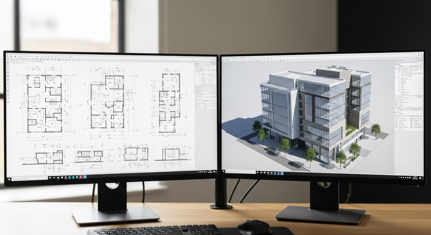
The most common reason point cloud sharing goes wrong is simple: the recipient cannot open the file you sent. A scanner-native format may work well inside one manufacturer’s ecosystem, but that does not mean an architect using Revit, AutoCAD, Archicad, Rhino, or SketchUp can use it directly. Before exporting anything, ask what software the recipient uses and whether they need raw scans, registered scans, or a format ready for import into BIM or CAD workflows.
Open or broadly supported formats are often safer for handoff. If you are deciding between file types, it helps to understand how LAS, LAZ, and E57 point cloud formats compare. In many building documentation workflows, E57 is a practical exchange format because it can package point cloud data in a way many platforms recognize. If you are unfamiliar with it, this overview of what an E57 file is gives a helpful starting point.
Some teams also need downstream interoperability beyond the cloud itself. If the point cloud will feed a model that must move between BIM platforms, file planning should include likely exports such as IFC, DWG, DXF, or native model files. The point cloud is only one part of the handoff chain.
Choose the right point cloud format for sharing
There is no single best format for every project. The right choice depends on size, software compatibility, and whether the recipient needs editability, portability, or long-term archiving. In broad terms, your options usually fall into three buckets: raw proprietary files, open exchange formats, and processed deliverables.
Raw proprietary files
These are often the original scanner outputs or project files from a specific platform. They may preserve full fidelity and metadata, but they are usually the hardest to share broadly. Use them when the recipient works in the same ecosystem and specifically asks for them.
Open exchange formats
Formats like E57 are commonly used when multiple consultants need access. Depending on the workflow, LAS or compressed LAZ may also make sense, especially for larger datasets where efficient storage matters. Compressed formats can reduce transfer burden, but make sure the recipient’s software supports them well.
Processed project deliverables
Sometimes the smartest way to share large point cloud files is not to share the full point cloud at all. If the project goal is measured documentation, a clean 2D or 3D as-built package may be more useful. FastAsBuilt provides field-measured as-built drawings and measured floor plans across California, with on-site laser measurement and senior drafters producing permit-ready CAD in PDF and DWG. If the recipient mainly needs plans, sections, elevations, or a model, consider sharing those end products instead of forcing everyone to wrestle with a giant cloud.
That is especially true when teams are still sorting out which file formats as-built drawings come in and how those files fit into permitting or design review.
Need accurate as-built plans?
FastAsBuilt sends a local crew to laser-measure your property and delivers permit-ready 2D or 3D drawings, starting at $900.
See 2D & 3D pricingReduce file size before you send anything
If you need to share the point cloud itself, reducing unnecessary weight is usually the fastest win. The goal is not to degrade the data blindly. The goal is to remove what the recipient does not need.
- Clip the dataset to the relevant area instead of sending an entire site.
- Remove duplicate, stray, or low-value scan regions.
- Export a lower-density version for reference viewing if full density is unnecessary.
- Separate interiors, exteriors, floors, or buildings into logical packages.
- Use compressed formats when compatibility allows.
- Bundle related support files, such as registration reports or scan maps, without duplicating raw data.
For example, an architect working only on a tenant suite likely does not need the roof, parking lot, and neighboring structure in the same package. A structural consultant reviewing one stair tower may only need a targeted clip. Thoughtful trimming can turn an unmanageable transfer into a practical one.
If the cloud is being used to generate a model, also ask what level of detail the BIM team actually needs. A useful companion topic is LOD 200 vs. 300 vs. 400 in Scan-to-BIM. Overly dense data does not automatically produce a better model; it may only create heavier files and slower coordination.

Use cloud storage or managed transfer tools instead of email
Email is rarely the right tool for large point cloud files. Even when a mail system technically accepts a big attachment, downloading and version control become messy. A better approach is to use a cloud storage platform, a secure file transfer service, or a shared project environment where consultants can access the same current package.
When selecting a transfer method, think about more than upload limits. You also want:
- Reliable resume support if a long upload or download is interrupted
- Clear folder permissions and user access controls
- Simple version naming and date tracking
- The ability to keep a read-only master package
- Enough bandwidth for multi-gigabyte or larger transfers
For active projects, a shared folder structure usually works better than repeatedly sending one-off links. Organize the package in a way that makes sense to the team: raw scans, registered cloud, clipped exports, documentation, and final deliverables. If consultants are spread across California offices or working remotely, consistent naming and access rules matter just as much as the upload itself.
Package files so the recipient knows what is inside
Large datasets become much easier to use when the folder structure is self-explanatory. One of the most frustrating handoff problems is receiving a giant archive with unclear names and no explanation of what version is final, what coordinate system was used, or which areas are covered.
A solid package should usually include:
- A brief readme naming the project, date, and contents
- The point cloud format and any required software notes
- Whether the cloud is raw, registered, cleaned, clipped, or decimated
- Coverage notes, such as first floor only or exterior facades only
- Coordinate or alignment notes if relevant to the project
- A scan map, screenshot set, or index image if available
- Separate folders for drawings, models, and supporting reports
This is where point cloud sharing overlaps with broader as-built deliverables. If you are handing over both cloud data and drafted outputs, make that distinction obvious. A consultant should not have to guess whether the DWG files are derived drawings, overlays, or final deliverables. If your package includes modeled outputs, it helps to define them clearly alongside the source data. For teams comparing options, this guide to 3D as-built plan deliverables shows how packaged outputs can be organized more usefully than a raw scan dump.
Coordinate point clouds with CAD and BIM handoffs
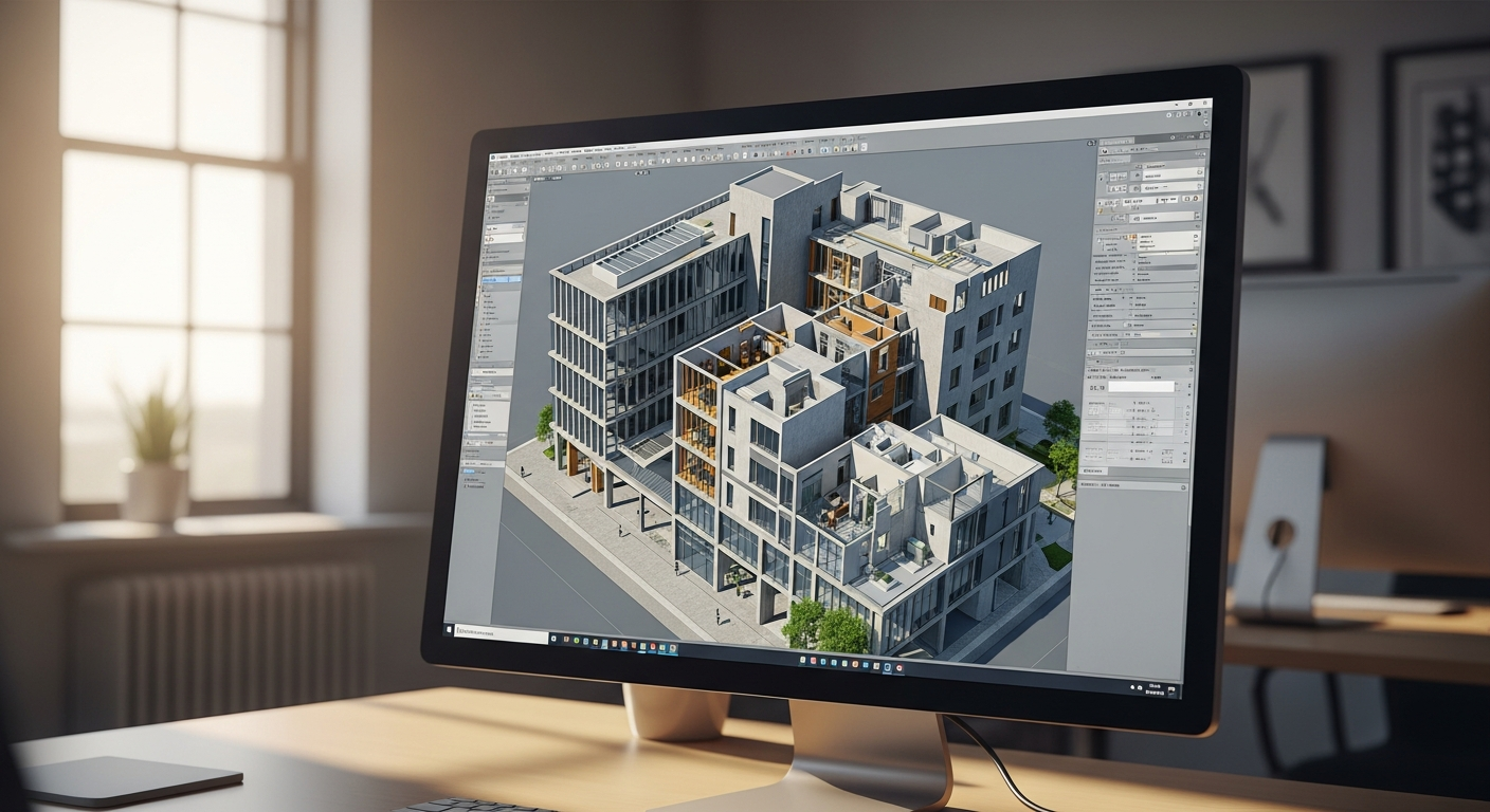
Many recipients do not want point clouds as an end in themselves. They want to use them to create floor plans, reflected ceiling plans, elevations, sections, Revit models, SketchUp studies, or permit drawing backgrounds. That means your point cloud package should fit into the larger handoff workflow.
Ask these questions before sending files:
- Does the recipient need only a viewable reference or an importable working file?
- Will they draft from the cloud in 2D, model in 3D, or both?
- Do they need DWG backgrounds or only the point cloud?
- Is the expected final product a permit set, design concept, BIM model, or facilities record?
- Should the point cloud align with an existing CAD base file?
These questions matter because point cloud transfer often sits in the middle of a longer chain of cad file formats and approvals. A designer may ultimately need DWG or DXF backgrounds, while an owner may only care about PDF plans. If someone on the team is new to CAD handoffs, it can help to review the difference between DXF and DWG before deciding which deliverables should accompany the cloud.
FastAsBuilt’s standard output is intentionally straightforward for this reason. Our 2D As-Built Plans start at $900 for up to 1,500 square feet, then $0.50 per square foot, include one revision, and are typically delivered in 48 to 72 hours. Our 3D As-Built Plans start at $1,500, then $1.00 per square foot, include a 3D model plus 2D floor plans, elevations, and sections, include two revisions, and are typically delivered in 3 to 5 business days. For commercial projects, ADUs, SB 9 work, and tenant improvements, custom quoting is available. If you are comparing options, you can also review packages or request service directly at our order page.
Turnaround times are estimates and may vary based on project complexity and scheduling.
Handle version control early
Point cloud packages often change after the initial handoff. A team may ask for a clipped export, a new registration, a floor-by-floor split, or a lighter reference version for field use. If you do not establish version control from the start, confusion builds fast.
Use a naming convention that identifies the project, area, date, and status. Keep a master untouched package if possible, then create clearly labeled derivatives such as “registered,” “cleaned,” “clipped,” or “reduced density.” Avoid file names like “final” unless there is a formal reason to do so. On long projects, “final” tends to be followed by “final2,” which helps no one.
It also helps to maintain one short transmittal note each time a revised package is issued. State what changed and what did not. That gives architects, engineers, and owners a clean record, especially when several consultants are pulling from the same source cloud.
Consider security, privacy, and project sensitivity
Sharing point cloud data is not only a technical issue. It can also raise privacy and security concerns. Interior scans may reveal equipment, layouts, access points, or tenant conditions that should not be distributed casually. Residential projects can also expose personal details. Before sending large datasets, think about who truly needs access and whether the package should be limited, password protected, or restricted to named users.
For California projects, sensitivity may be higher on occupied multifamily properties, schools, healthcare settings, retail spaces, or secured facilities. Use practical caution and confirm client expectations about data handling. If scans are supporting code, maintenance, or compliance-related work, different consultants may need different levels of access. A structural reviewer may not need the same dataset a full design team needs.
This is another reason why processed as-built deliverables can be preferable to sharing every raw scan. Plans and models can communicate the needed information with less exposure than an unrestricted point cloud archive.
Know when not to share the raw point cloud
There are plenty of situations where the best answer is to avoid a raw point cloud handoff entirely. If the receiving party mainly needs dimensions, layouts, sections, or permit-ready base drawings, a measured as-built package is usually more practical. Raw scan data can be valuable, but it also adds software requirements, training issues, storage burden, and opportunities for misinterpretation.
Instead of asking only, “How do we share large point cloud files?” ask, “What deliverable does the next person actually need?” In many projects, the most useful answer is one of these:
- 2D floor plans in PDF and DWG
- Elevations and sections extracted from measured conditions
- A coordinated 3D model for design use
- A limited-area point cloud rather than the entire property
- A hybrid package with both final drawings and a reference cloud
That is especially relevant in renovation, ADU, and tenant improvement workflows where permit submittals depend more on accurate drawings than on massive source datasets. California jurisdictions can vary in local expectations, so it is always wise to confirm submittal preferences with the applicable city or county. The point cloud may support the process, but the permit desk usually wants clear drawings and complete application materials.
Start with accurate as-builts
Order field-measured 2D or 3D as-built drawings and let a local crew handle the measuring and drafting.
Get instant pricingFrequently asked questions
What is the best format to share large point cloud files?
The best format depends on the recipient’s software and the project goal. E57 is a common exchange choice for building documentation because many platforms can work with it. LAS or LAZ may also be useful, especially where size and portability matter. If the recipient only needs drawings or a model, the best handoff may be PDF, DWG, or a final BIM deliverable instead of the raw cloud.
Can you email a point cloud file?
Usually no, at least not for a full project dataset. Point cloud files are often far too large for email and can create broken downloads or confusing version history. Cloud storage or a managed transfer service is typically the better option, especially for multi-gigabyte packages.
Should you send raw scans or a processed point cloud?
Most recipients are better served by a processed package unless they specifically need raw data. A registered, cleaned, or clipped cloud is often easier to open and use. Raw scans make more sense when another specialist needs the original capture set for advanced processing or validation.
How do point clouds relate to as-built deliverables?
Point clouds are source data; as-built deliverables are the usable outputs created from that data or from direct field measurement. Depending on the project, those outputs may include measured floor plans, elevations, sections, and 3D models. If your team mainly needs clear documentation, the final as-built package may be more valuable than the cloud itself.
What should be included when you share a point cloud package?
A good package should include the actual point cloud files, a short readme, coverage notes, version information, and any supporting images or scan maps that help the recipient understand what is included. If there are related CAD or BIM files, they should be separated into clearly named folders so the handoff is easy to follow.
Bottom line
If you need to share large point cloud files, focus on usability first. Confirm the recipient’s software, choose a practical format, trim unnecessary data, use a reliable transfer method, and package everything clearly. And if the real need is accurate drawings or models rather than raw scan data, a well-prepared as-built deliverable will often serve the project better than a massive point cloud archive. FastAsBuilt helps California teams move from field measurement to clean, permit-ready CAD deliverables that are easier to share and easier to use.