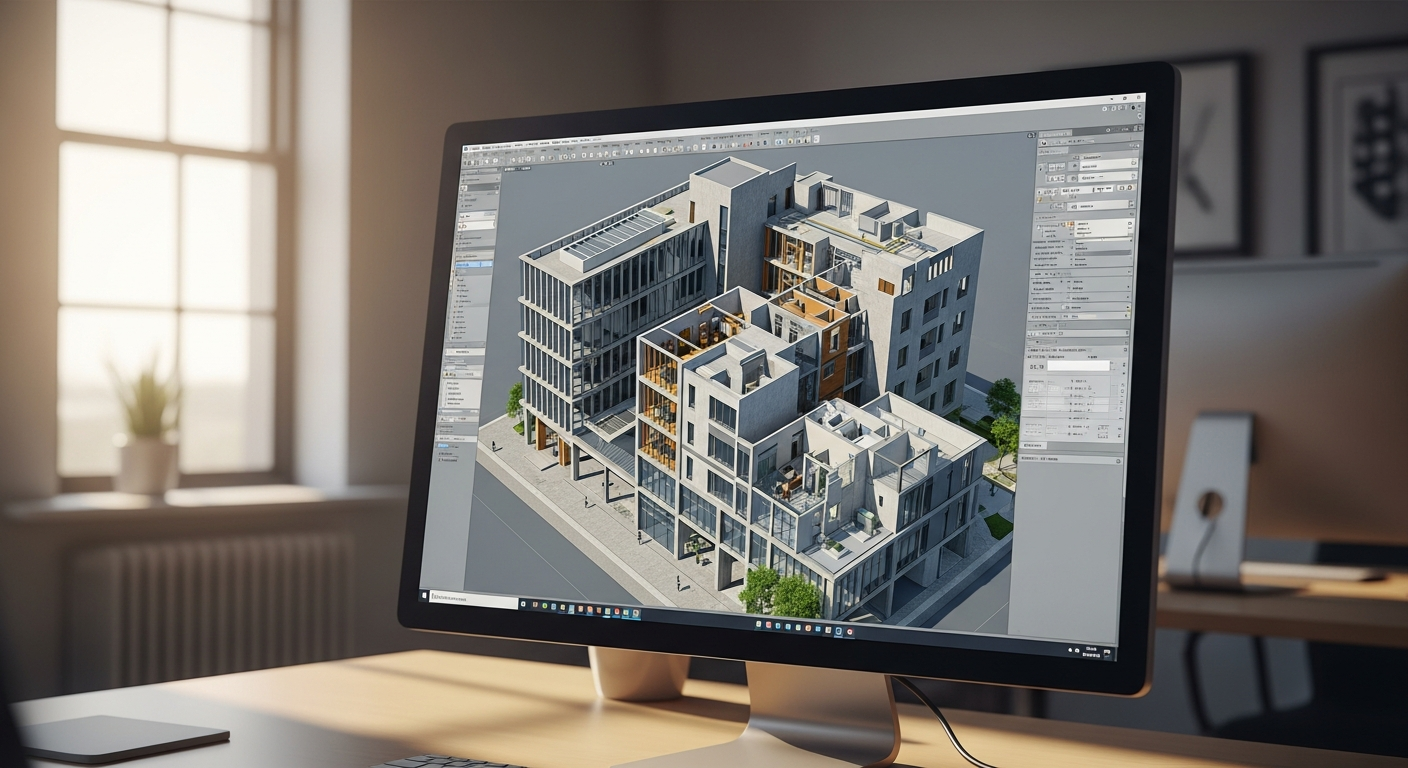
When you start working with scans, one of the first confusing questions is which point cloud file formats you actually need. LAS, LAZ, and E57 are three of the most common options, but they are not interchangeable in every workflow. Each format handles point data, compression, metadata, and software compatibility a little differently, and those differences matter when you are moving from raw scan data to usable plans, models, and construction documents.
For California property owners, architects, engineers, contractors, and real estate teams, this matters because scans are rarely the final product. The scan is usually the starting point for permit-ready CAD drawings, measured floor plans, or a BIM model. FastAsBuilt uses on-site laser measurement and senior drafters to produce as-built deliverables in PDF and DWG, and understanding the role of point cloud file formats can help you ask better questions before a project begins.
What LAS, LAZ, and E57 actually are
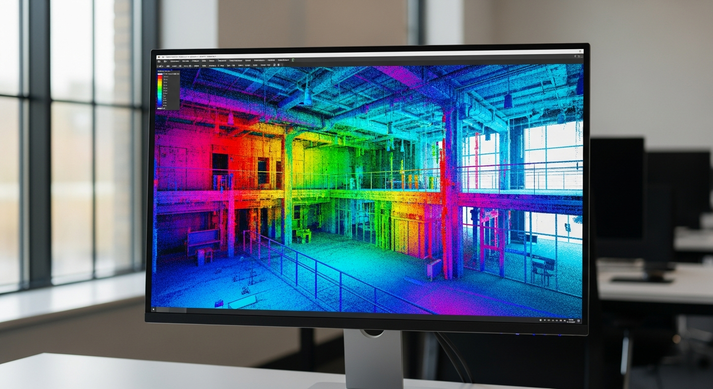
All three are point cloud file formats, which means they store spatial data captured from scanners, lidar systems, or photogrammetry workflows. A point cloud is a large set of measured points in 3D space. Each point may include coordinates, intensity values, color information, classification data, and other attributes depending on how the file was created.
At a basic level:
- LAS is a widely used open format for lidar point data.
- LAZ is essentially a compressed version of LAS.
- E57 is a vendor-neutral format designed to store point clouds and related scan information efficiently.
These formats often appear before teams move into more familiar cad file formats such as DWG or DXF. They are also different from final as-built drawing file formats, which are usually drafted outputs rather than raw or semi-processed scan data.
Why point cloud format choice matters in real projects
In practice, format choice affects much more than storage. It can influence upload time, collaboration, software compatibility, archive quality, and how smoothly a scan moves into drafting or BIM. If your consultant sends a file your architect cannot open, or a compressed file strips out information your modeling team expected, you lose time.
That is especially important on California projects where permit schedules can be tight. Whether you are documenting an older house in Los Angeles, preparing an ADU or SB 9 feasibility study, measuring a tenant improvement in the Bay Area, or documenting an existing building in San Diego, your team usually needs reliable geometry and a clean handoff from field capture to final deliverables.
Point cloud file formats do not replace drafting standards, but they shape the upstream workflow. If the end goal is 2D plans, reflected ceiling plans, elevations, sections, or a Revit model, your chosen format should support that path rather than create friction.
LAS: the standard uncompressed lidar workhorse
LAS is one of the best-known point cloud file formats because it has been widely used for lidar data for years. It is an open specification and is often the default output in geospatial and surveying contexts. Because it is uncompressed, LAS can be easier for some software to read directly and predictably.
Key traits of LAS include:
- Broad support across many lidar, GIS, and point cloud tools
- Storage for coordinates and common point attributes
- A straightforward structure for exchange and archiving
- Larger file sizes compared with compressed alternatives
The main drawback is size. Dense scans generate large files very quickly, which can make LAS slower to upload, download, copy, and share. On a small residential job, that may be manageable. On a larger commercial property or a multi-scan campus, it becomes much less convenient.
LAS is often a good fit when file size is not the top concern and you want a widely recognized, nonproprietary format with dependable software support. It can also be useful in workflows where your downstream team has strict expectations for raw lidar structure.
LAZ: compressed LAS for easier transfer and storage
LAZ is best understood as a compressed LAS file. It stores the same general type of point data but reduces file size significantly, making it easier to move data between teams, cloud platforms, and software environments. For many users, that alone is enough reason to prefer it.
Benefits of LAZ commonly include:
- Much smaller file sizes than LAS
- Lower storage costs over time
- Faster transfers for remote collaboration
- Preservation of key point cloud data without converting to a completely different format
The tradeoff is compatibility. Many modern applications handle LAZ well, but not all software does. Some programs need a plugin, a conversion step, or a separate import tool. If your architect, engineer, or scan-to-BIM consultant is expecting LAS, you should confirm that LAZ will open cleanly in their software before delivery.
For teams that regularly exchange scan data, LAZ is often the practical choice. It keeps the familiar LAS structure while reducing the burden of giant files. If your main concern is transport and storage, LAZ is often the first format worth considering.
Need accurate as-built plans?
FastAsBuilt sends a local crew to laser-measure your property and delivers permit-ready 2D or 3D drawings, starting at $900.
See 2D & 3D pricingE57: a flexible exchange format for scan workflows
E57 is another important format in the point cloud world, especially in building documentation and reality capture workflows. It was designed as a vendor-neutral way to exchange 3D imaging data. Unlike LAS and LAZ, which are closely associated with lidar point records, E57 is often used to package scan data from terrestrial laser scanners in a way that can include more context around the scans.
E57 may support:
- Point coordinates
- Color information
- Intensity values
- Scan pose or sensor-related information
- Multiple scans within one file structure
That makes it attractive for architecture, engineering, construction, and facility documentation workflows. If you have already asked what an E57 file is, the short answer is that it is often one of the most convenient handoff formats when scan data needs to move between different platforms without locking the team into one scanner brand.
E57 is especially common when the next step is modeling, coordination, or drafting from registered scans. It can be a strong option for teams building a Revit model, generating sections and elevations, or creating disciplined as-built deliverables from captured field conditions.
How the three formats differ on the issues people actually care about
Most project teams are not interested in format theory. They want to know which file is easier to open, which one is smaller, and which one causes the fewest headaches. Here is the practical comparison.
File size
LAZ is usually the most storage-efficient choice because it compresses LAS data. LAS is typically the largest. E57 can also be efficient, but actual size varies with scanner output, embedded information, and export settings.
Software compatibility
LAS has very broad recognition, especially in lidar and geospatial tools. LAZ is also common but not as universally supported without the right importer. E57 is widely supported in AEC and scan-processing platforms, but software behavior varies from one application to another.
Metadata and scan context
E57 often carries richer scan-related context, which can be useful in building documentation workflows. LAS and LAZ are excellent for point records and attributes, but they may feel more stripped down depending on the workflow.
Sharing and archiving
LAZ is often best for storage and transfer efficiency. LAS is simple and established for archival purposes when size is not a problem. E57 is strong when preserving a flexible exchange package matters more than mirroring a pure lidar record structure.
Workflow fit
If your workflow is geospatial or survey-heavy, LAS or LAZ may be the natural choice. If your workflow centers on scanner registration, building documentation, and scan-to-BIM, E57 is often easier to work with.
Which format is best for architects, contractors, and owners in California
The best answer depends on the end use. If the goal is to preserve scan data for broad compatibility and your team is comfortable handling large files, LAS can work well. If the goal is to share data efficiently across project partners, LAZ is often the more practical version of the same idea. If the goal is to move registered building scans into architecture or BIM software, E57 is frequently the easiest handoff format.
For many California building projects, the scan itself is only an intermediate step. Owners and design teams may need floor plans for remodel design, existing-condition drawings for permit sets, documentation for Title 24 coordination, or measured plans to evaluate an ADU, tenant improvement, or older multifamily property. In those cases, the important question is not only what point cloud file formats you have, but what your provider can turn them into.
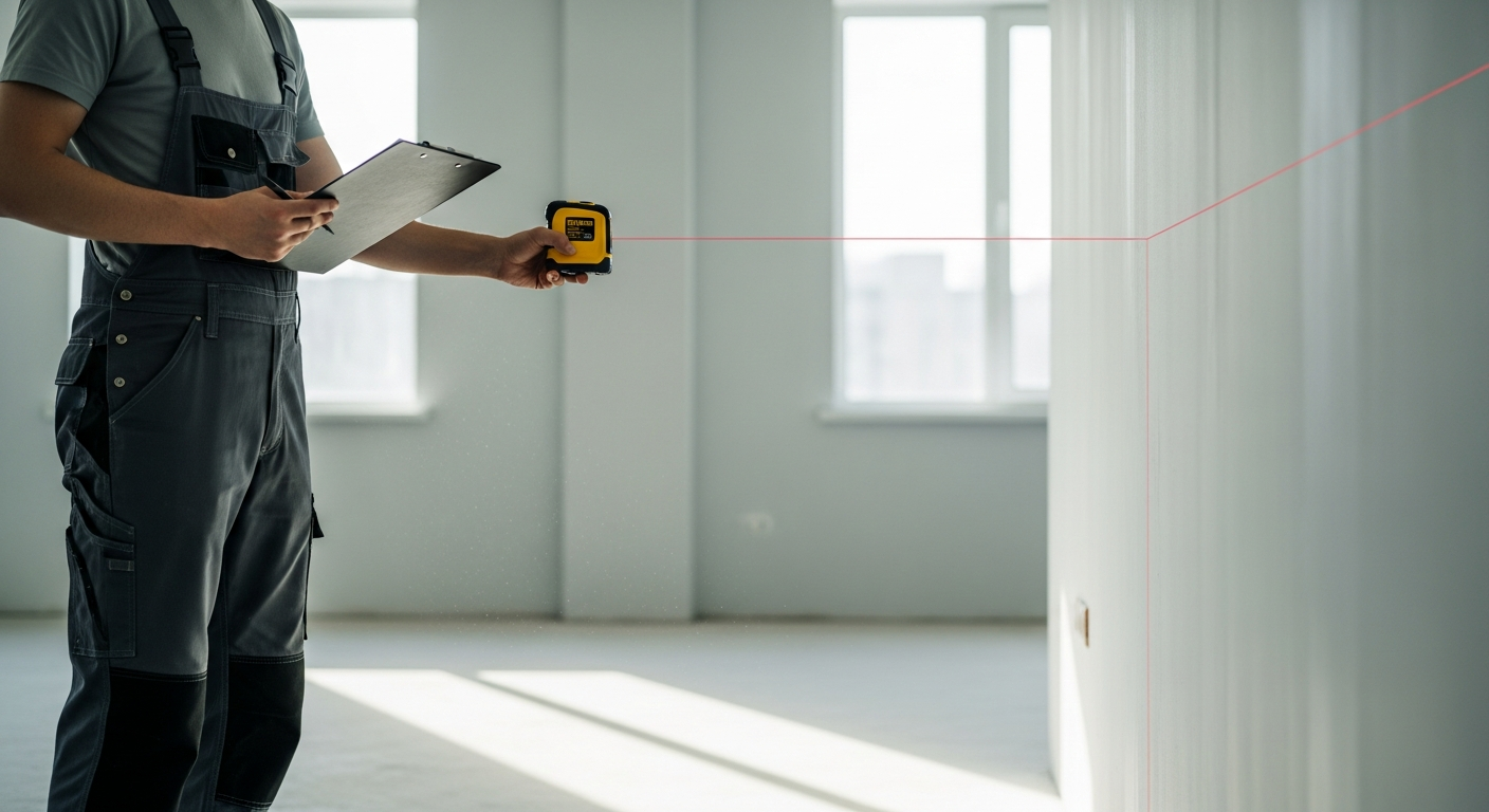
FastAsBuilt focuses on field-measured as-built drawings and measured floor plans across California, with local crews serving Southern California, the Bay Area, and San Diego. We use on-site laser measurement, then senior drafters produce permit-ready CAD files in PDF and DWG. If you need final plans rather than raw scan management, that distinction matters.
How point cloud files relate to CAD and BIM deliverables
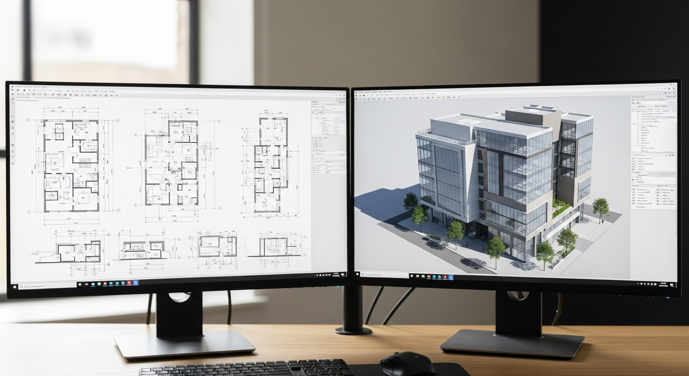
A common misunderstanding is that point cloud files are ready-to-use design files. Usually they are not. They are capture data. Most architects, homeowners, and contractors still need someone to interpret that data and convert it into usable drawings or a model.
That conversion may include:
- Tracing walls, openings, fixtures, and structural elements into 2D plans
- Building a 3D model in Revit or another BIM platform
- Creating elevations and sections from verified field geometry
- Coordinating dimensions for permit submissions or construction planning
If your end product is a traditional CAD package, you may also want to understand related formats such as RCP and RCS files, which are common in Autodesk point cloud workflows, or explore what a Revit as-built model is before deciding on a modeling path.
For many projects, the raw scan format becomes less important once the final deliverables are created correctly. What matters then is that the plans are accurate, clear, and suited to the next step in design or permitting.
When the raw scan format matters less than the deliverable
If you are a homeowner planning a remodel, a property manager documenting an existing suite, or a contractor who simply needs accurate plans, you may not need to spend much time comparing LAS, LAZ, and E57 at all. What you really need is a provider who can capture field conditions accurately and deliver a dependable final drawing set.
FastAsBuilt offers 2D As-Built Plans starting at $900 for up to 1,500 square feet, then $0.50 per square foot, with one revision and typical delivery in 48 to 72 hours. For projects that need model-based outputs, 3D As-Built Plans start at $1,500, then $1.00 per square foot, and include a 3D model plus 2D floor plans, elevations, and sections, with two revisions and typical delivery in 3 to 5 business days.
Turnaround times are estimates and may vary based on project complexity and scheduling.
Custom projects such as commercial spaces, ADUs, SB 9 sites, and tenant improvements are quoted individually. If your team already has scans, the useful question is whether those files contain enough quality and coverage to support the drawings or model you need. If you do not have scans yet, the more important choice may be selecting the right scope and deliverables from the start. You can review options and request service through our packages page.
Questions to ask before accepting or sending a point cloud file
Before you lock in a format, it helps to ask a few practical questions. These can prevent rework and avoid the common problem of collecting good data in a file no one downstream wants.
- What is the final deliverable? A permit-ready DWG set, a PDF floor plan, and a BIM model may each call for a different upstream workflow.
- What software will the next team use? Confirm import compatibility before choosing LAS, LAZ, or E57.
- Is compression a benefit or a problem? LAZ can make sharing easier, but only if all recipients can open it.
- Do you need raw data, registered scans, or drafted output? These are not the same thing.
- Will the file be archived long term? If so, choose a format your organization can still access later.
- Are color, scan positions, or other metadata important? That may push the decision toward E57.
These questions are particularly useful on renovation and existing-conditions work, where multiple consultants may touch the same data before permit submission. Clear expectations early on usually save far more time than they cost.
Frequently asked questions
Is LAZ better than LAS?
Not always. LAZ is usually better for storage and transfer because it compresses LAS data, but LAS may be simpler in workflows where software support for uncompressed files is more predictable. The better choice depends on the tools your team uses and whether file size is a major concern.
Is E57 the best format for building scans?
Often, but not universally. E57 is widely used for building documentation because it works well as an exchange format for registered scans and can carry useful scan-related information. Still, some teams prefer LAS or LAZ for specific lidar or survey workflows, so you should confirm the preferred format with the consultant or software user receiving the file.
Can point cloud files be submitted for permits?
Usually, no. Jurisdictions typically want readable plan sets, drawings, and supporting documents rather than raw point cloud data. In California, permit requirements vary by city and county, so you should confirm local expectations with the jurisdiction. In most cases, the point cloud supports the creation of permit-ready CAD drawings or models rather than serving as the permit submission itself.
Do I need the raw scan file if I already have as-built drawings?
Maybe not. If your final as-built drawings are accurate and complete for your intended use, the raw file may not be necessary for everyday planning. However, keeping the scan data can be valuable if you expect future remodels, expanded modeling, or consultant coordination. The decision depends on how likely you are to reuse the captured conditions later.
What should I ask for if I want a usable design file?
Ask for the final deliverable first, not just the capture file. That could mean DWG floor plans, PDF plans, elevations, sections, or a BIM model. If a scan is part of the workflow, also ask which point cloud file formats will be provided and whether they are compatible with your architect’s or engineer’s software.
Start with accurate as-builts
Order field-measured 2D or 3D as-built drawings and let a local crew handle the measuring and drafting.
Get instant pricingBottom line
LAS, LAZ, and E57 all have legitimate uses, but they solve slightly different problems. LAS is the classic uncompressed option, LAZ makes that data easier to store and share, and E57 is often the most flexible exchange format for building scan workflows. For most owners and project teams, the right choice depends less on abstract file theory and more on what the next person in the chain needs to do with the data. If your real goal is accurate, permit-ready plans or model-based as-built deliverables, the format should support that outcome rather than distract from it.