If you are asking what is a drainage plan, the short answer is simple: it is a drawing that shows how water will move across a site and where that water will be collected, carried, and discharged. It helps property owners, designers, contractors, and plan reviewers understand whether rainwater and surface runoff will be directed away from buildings, neighboring lots, and problem areas.
In California, drainage planning matters for both small residential projects and larger commercial work. A new driveway, addition, ADU, patio, retaining wall, or regrading project can change how water flows on a property. That is why many cities and counties want to see a drainage plan during permit review, especially when site work affects slopes, drainage patterns, or stormwater control. If you are preparing drawings for an existing property, measured existing conditions often help create a reliable starting point. FastAsBuilt provides field-measured as-built drawings and measured floor plans across California, with local crews in Southern California, the Bay Area, and San Diego.
What is a drainage plan?
A drainage plan is a site-based drawing that explains how water is handled on a property. It usually identifies existing and proposed grades, slopes, drainage paths, inlets, area drains, swales, catch basins, downspouts, drain lines, and discharge points. In plain terms, it answers questions like:
- Where does water go when it rains?
- Will runoff move away from the building foundation?
- Will a new improvement block or redirect existing flow?
- How will surface water be collected and released?
- Could the work create drainage problems for neighbors or the public right-of-way?
Unlike an interior drawing, a drainage plan is mainly about the site. It is often prepared along with a plot plan, grading information, civil details, or landscape plans depending on the project scope and local jurisdiction.
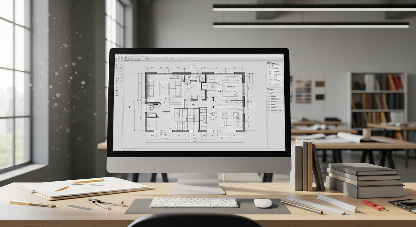
Why drainage plans matter
Water is one of the most common causes of building and site damage. Poor drainage can lead to ponding, erosion, soil movement, foundation issues, staining, mold risk, hardscape damage, and disputes with adjacent property owners. A clear drainage plan reduces uncertainty before work begins.
For permit review, the plan gives the city or county a way to check whether the proposed work respects local drainage rules. Reviewers often want to confirm that runoff is not being sent onto adjacent properties, that finished grades are sensible, and that water is being managed in a way that protects structures and site safety.
For construction, it gives contractors direction. Without a drainage plan, one crew may install paving, another may set finish grades, and another may place drains without a coordinated approach. That can create expensive corrections later.
If your project also involves documenting what already exists, it can help to understand what an existing conditions plan is and how it differs from design drawings.
What a drainage plan typically includes
The exact contents vary by jurisdiction and project type, but most drainage plans include several core elements. The drawing is usually based on a site plan and may be combined with grading notes or civil information.
Property and site information
- Property lines and lot dimensions
- Building footprint and other site structures
- Driveways, walkways, patios, walls, and paved areas
- North arrow, scale, and basic project identification
Elevation and slope information
- Existing spot elevations
- Proposed spot elevations
- Contour lines on some projects
- Slope arrows or drainage arrows showing flow direction
- Notes about positive drainage away from structures
Drainage features
- Area drains and trench drains
- Catch basins and inlets
- Swales and channels
- Roof downspouts and leaders
- Subsurface drain lines where applicable
- Discharge locations or tie-ins where permitted
Construction and review notes
- Drain pipe sizes and materials when required
- General installation notes
- Surface material callouts
- Erosion or stormwater notes where needed
- References to related grading, civil, or landscape sheets
For many remodels and additions, a drainage plan does not stand alone. It works best as part of a complete drawing set that accurately shows existing conditions. If you need that baseline, this overview of what is included in as-built drawings is a good place to start.
Drainage plan example
A simple drainage plan example might be a single-family home adding a new backyard patio and an ADU. The new hardscape increases runoff because water that used to soak into soil now lands on concrete or pavers. The drainage plan may show:
- Existing house and proposed ADU footprint
- Patio elevations and slope arrows
- A trench drain at the edge of the patio
- Downspouts from the ADU roof
- A drain line routing collected water to an approved discharge point
- Notes showing drainage kept away from foundations and neighboring lots
Another drainage plan example is a front-yard regrading project where a new driveway and walkway are being installed on a sloped lot. In that case, the drawing may focus on spot elevations, swales, and how runoff is redirected so it does not sheet-flow into the garage or toward the sidewalk in a problematic way.
The level of detail changes with complexity. A basic residential project might have one sheet with notes and arrows. A larger commercial or hillside project may require a more developed civil set.
Need accurate as-built plans?
FastAsBuilt sends a local crew to laser-measure your property and delivers permit-ready 2D or 3D drawings, starting at $900.
See 2D & 3D pricingDrainage plan vs floor plan
A common point of confusion is drainage plan vs floor plan. They are very different drawings with different purposes.
- A drainage plan shows outdoor water movement across the site.
- A floor plan shows interior layout, such as walls, doors, rooms, and dimensions.
If you are comparing drainage plan vs floor plan, the easiest way to remember the difference is this: one manages water outside, the other explains space inside.
A floor plan might show a bathroom, kitchen, hallway, and bedroom dimensions. A drainage plan might show slope arrows, drains, grades, and runoff direction around the same building. They can appear in the same permit set, but they answer different questions for different reviewers and trades.
If you want a fuller picture of interior documentation, see what an as-built floor plan is. It helps explain why measured interior plans are useful even when your project also needs site-based drawings.
Drainage plan vs plot plan and grading plan
People also mix up drainage plans with plot plans and grading plans. There is overlap, but they are not always the same.
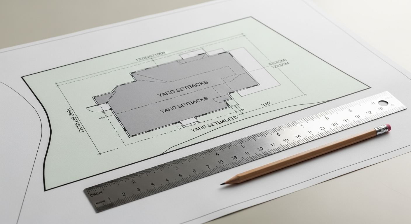
- Plot plan: Usually shows the parcel, property lines, setbacks, building location, and major site features.
- Grading plan: Focuses on earthwork, elevations, contours, slopes, and how the ground will be shaped.
- Drainage plan: Focuses on how water is collected and conveyed across or away from the site.
On a small residential project, one sheet may effectively serve as a plot plan, grading plan, and drainage plan if the jurisdiction allows it. On a larger or more technical project, those topics may be split into separate sheets prepared by different consultants.
If you are trying to sort out where the drainage plan fits in a plan set, it may help to read about what a plot plan is and how site drawings work together.
When you may need a drainage plan in California
California requirements vary by city, county, and project type, so you should always confirm local submittal rules. In general, you may be asked for a drainage plan when your project changes the way water moves on the property. Common examples include:
- New home construction
- Room additions or major remodels with site work
- ADUs and junior ADUs
- New patios, decks, or large areas of paving
- Driveway replacement or expansion
- Retaining walls and hillside work
- Pool installations
- Commercial tenant improvements with exterior changes
- Site regrading or drainage correction work
California rules around housing and site development can interact with drainage review. For example, SB 9, ADU-related laws, and local objective standards may make housing additions easier in some cases, but they do not eliminate the need to manage runoff safely. Likewise, energy rules such as Title 24 address building performance, while drainage review addresses site water behavior. On multifamily and exterior rehabilitation projects, laws like SB 721 and SB 326 concern exterior elevated elements and inspections, but site drainage can still matter as part of broader property conditions. The exact permit path depends on the jurisdiction, so verify local requirements before you finalize your plans.
Who prepares a drainage plan?
The right professional depends on the scope and complexity of the project. For a simple residential job, a designer, architect, landscape professional, contractor, or draftsperson may be involved in producing a drainage-related sheet if local rules permit. For more technical work, especially where grading, stormwater compliance, or hillside conditions are involved, a civil engineer or other qualified professional may be needed.
Just as important, the person preparing the plan needs accurate existing measurements. If the base information is wrong, the drainage design can be wrong too. That is where field documentation becomes valuable. FastAsBuilt uses on-site laser measurement, and our senior drafters produce permit-ready CAD files in PDF and DWG formats. For 2D as-built plans, pricing starts at $900 for up to 1,500 square feet, then $0.50 per square foot, with one revision and typical 48–72 hour delivery. For 3D as-built plans, pricing starts at $1,500, then $1.00 per square foot, and includes a 3D model plus 2D floor plans, elevations, and sections, with two revisions and typical 3–5 business day delivery. Custom projects such as commercial work, ADUs, SB 9 projects, and tenant improvements are quoted individually.
Turnaround times are estimates and may vary based on project complexity and scheduling.
If you are assembling permit documents and need a measured baseline first, you can review who prepares as-built drawings and how that role differs from design and engineering.
How drainage plans are created
A drainage plan usually starts with accurate site information. That may come from field measurements, prior plans, topographic information, surveys, consultant data, or a combination of sources. The process often looks like this:
- Document existing site conditions, structures, hardscape, and visible drainage features.
- Establish key elevations, slopes, and flow direction.
- Overlay the proposed work, such as an addition, patio, wall, or driveway.
- Evaluate how the proposed work changes runoff paths.
- Add drains, swales, grade adjustments, or other measures as needed.
- Prepare the drawing with notes and details for permit review and construction.
For existing buildings, one of the biggest issues is that old plans may not match current site conditions. Hardscape may have been added, doors may have changed, and previous drainage fixes may never have been documented. A measured existing drawing set can reduce that risk. If you are not sure whether you need as-builts or design plans first, this article on as-built plans vs. construction drawings can help clarify the sequence.
Common mistakes on drainage plans
Even when the concept is straightforward, drainage plans can fail if they miss basic field realities. Some common problems include:
- Using outdated base drawings that do not match the current property
- Ignoring small grade changes that affect runoff direction
- Showing drains without a clear discharge path
- Directing water toward foundations, door thresholds, or garages
- Overlooking neighboring lot impacts
- Forgetting roof runoff and downspout locations
- Not coordinating with retaining walls, hardscape edges, or finished floor elevations
Another common mistake is assuming that a drainage plan is only needed for large projects. In reality, even modest site changes can trigger review if they alter runoff. A small amount of new paving in the wrong place can create a recurring drainage problem.
If your project team is working from old permit sheets, it may also help to understand whether as-built drawings are the same as blueprints. They are not, and that difference matters when existing conditions drive site drainage decisions.

How measured as-builts support drainage-related projects
FastAsBuilt does not replace your engineer or architect, but we do help create the accurate building documentation that many projects need before design begins. When a drainage plan is being prepared for an existing property, reliable measurements can support decisions about:
- Building footprint and wall locations
- Door locations that affect threshold drainage
- Patio, driveway, and exterior access relationships
- Existing floor plans for permit sets involving both interior and exterior work
- Coordination between site improvements and the actual structure on the lot
Our crews serve Los Angeles, Orange County, the Inland Empire, the Bay Area, and San Diego. We use on-site laser measurement, and our senior drafters produce permit-ready CAD files in PDF and DWG. If you need measured plans before your design team develops a drainage sheet, you can start with FastAsBuilt’s order page or review package options.
For some projects, owners first need to confirm exactly what exists before deciding whether they need a drainage plan, a plot plan, or broader as-built documentation. This guide to what as-built drawings are gives a useful overview.
Frequently asked questions
Is a drainage plan the same as a floor plan?
No. A floor plan shows the arrangement of interior spaces such as rooms, walls, doors, and dimensions. A drainage plan shows exterior site water movement, slopes, drains, and discharge points. If you are searching drainage plan vs floor plan, they belong to the same permit universe but serve completely different functions.
Do I need a drainage plan for a small residential project?
Maybe. Many small projects do not need a separate full civil set, but they may still need drainage information on the site plan. If your work adds hardscape, changes grades, redirects runoff, or affects setbacks and site layout, your city or county may ask for it. Always confirm with the local jurisdiction.
What is shown on a basic drainage plan example?
A basic drainage plan example may show the house footprint, lot lines, proposed paving, spot elevations, slope arrows, area drains, downspouts, and where collected water is discharged. Larger or more technical projects may also include contours, pipe sizing, details, and stormwater notes.
Who approves a drainage plan?
Usually the local building department, planning department, public works department, or engineering division reviews it as part of permit approval, depending on the jurisdiction and project type. Some projects also require review by a civil engineer or other licensed professional on the design side. Local process varies across California.
Can old plans be used to make a drainage plan?
Sometimes, but old plans are often incomplete or outdated. Existing hardscape, door locations, additions, and site changes may no longer match the record documents. For existing properties, field-measured as-built drawings can provide a more dependable base before drainage design starts.
Start with accurate as-builts
Order field-measured 2D or 3D as-built drawings and let a local crew handle the measuring and drafting.
Get instant pricingBottom line
A drainage plan is a drawing that shows how water will move across a property and how that water will be controlled. If you are planning exterior work in California, understanding what a drainage plan is can save time during design, permitting, and construction. The key is to start with accurate existing information, coordinate the site and building drawings, and confirm local requirements with the jurisdiction reviewing your project.